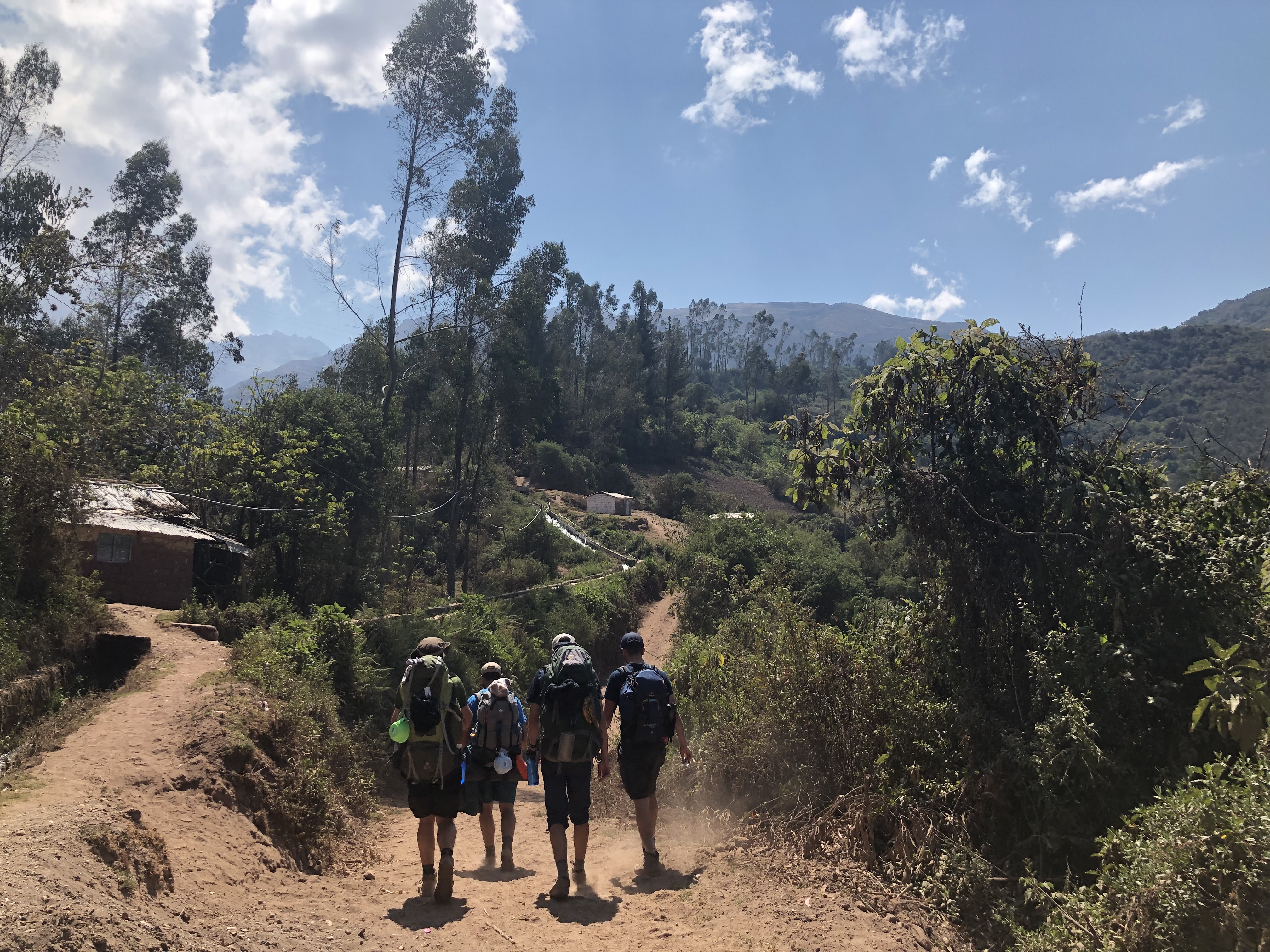
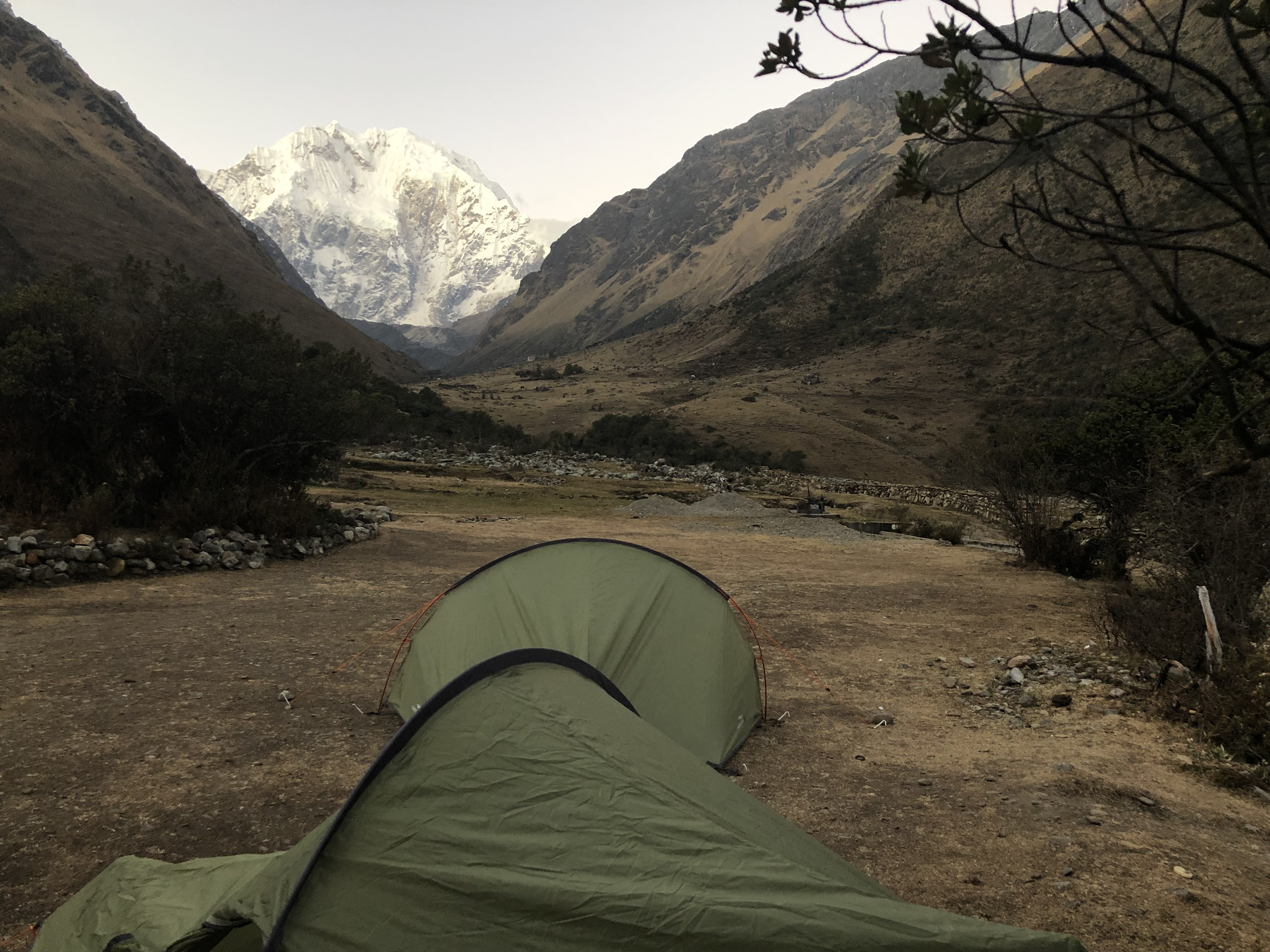
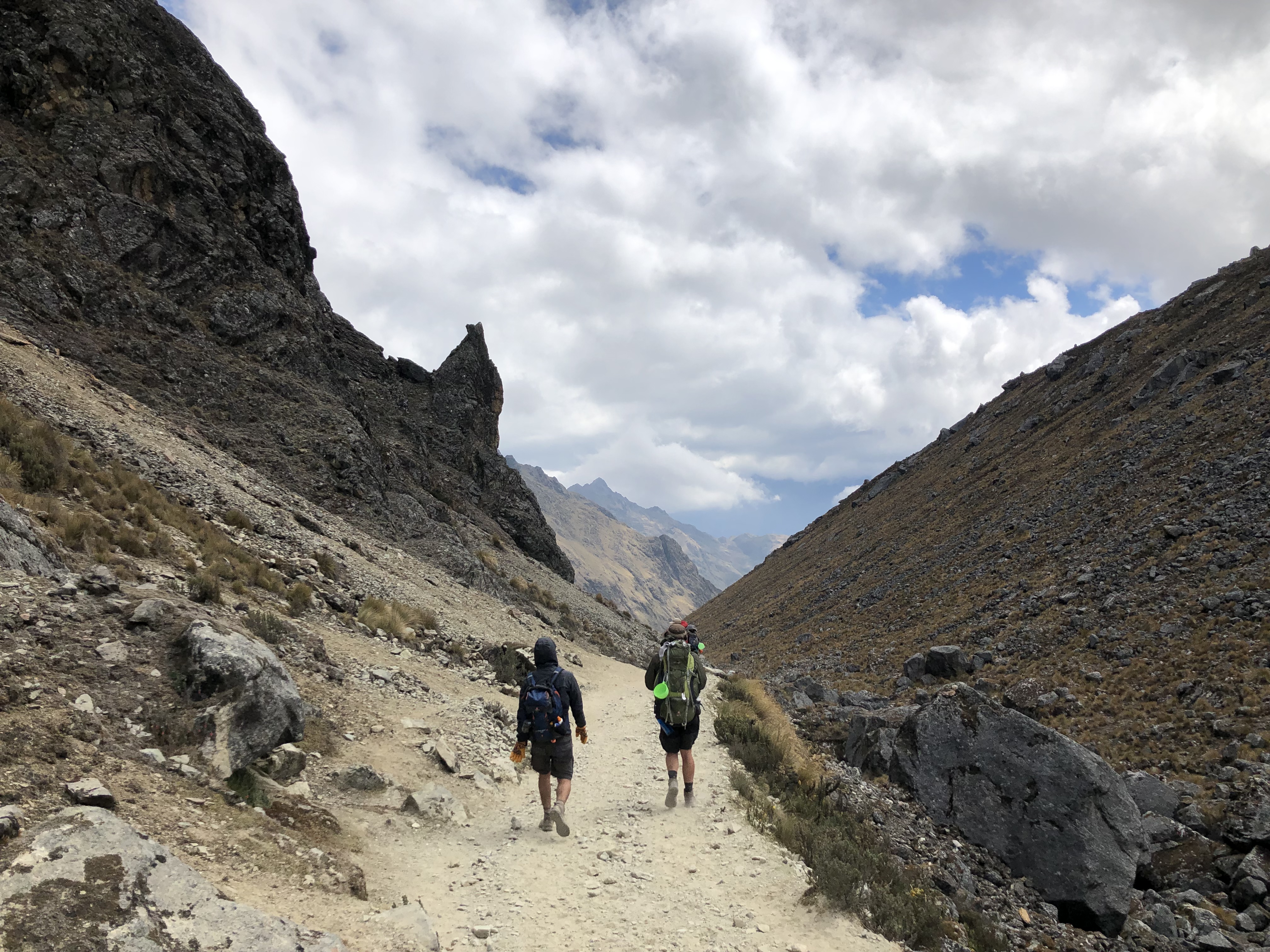
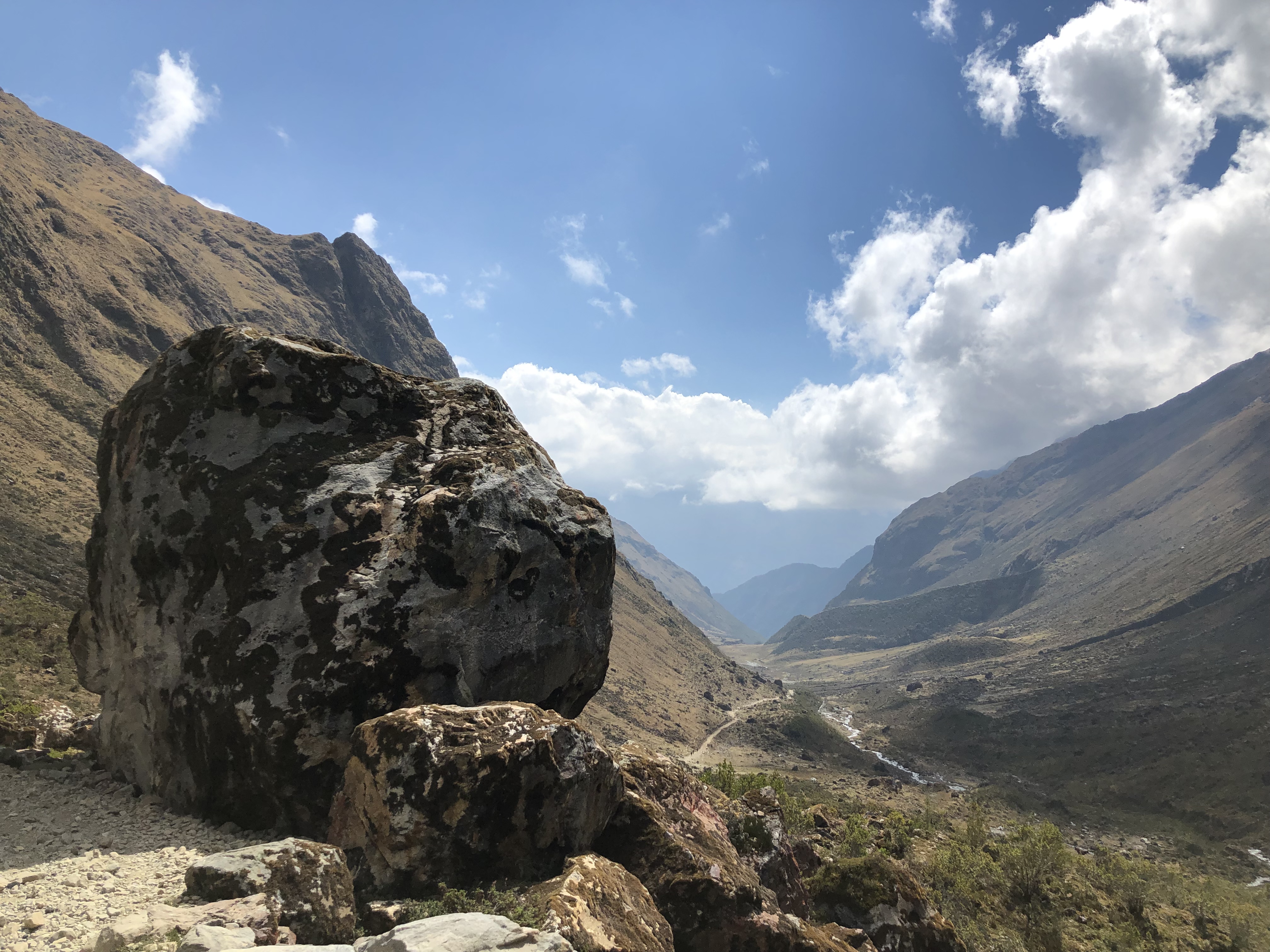
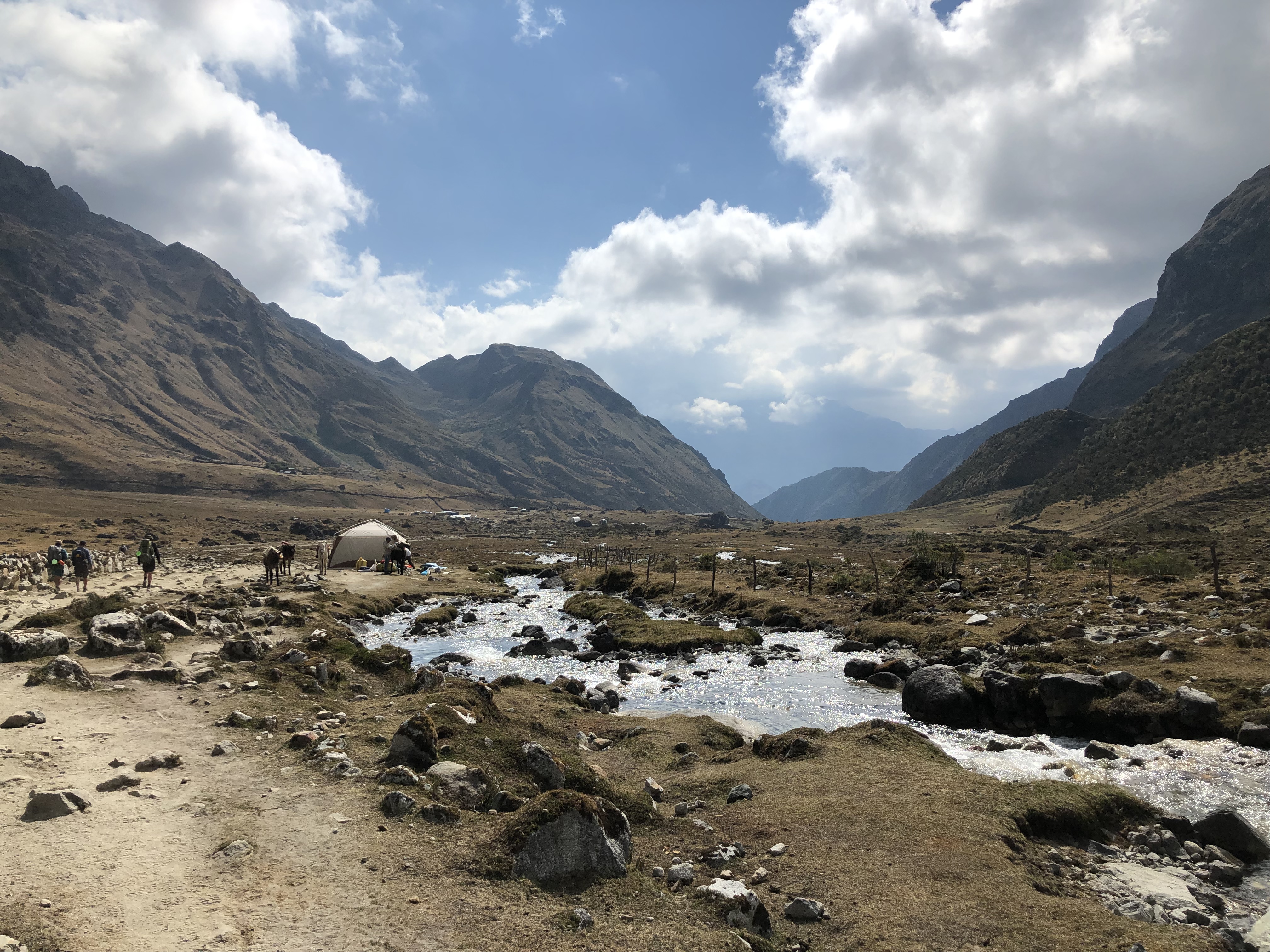
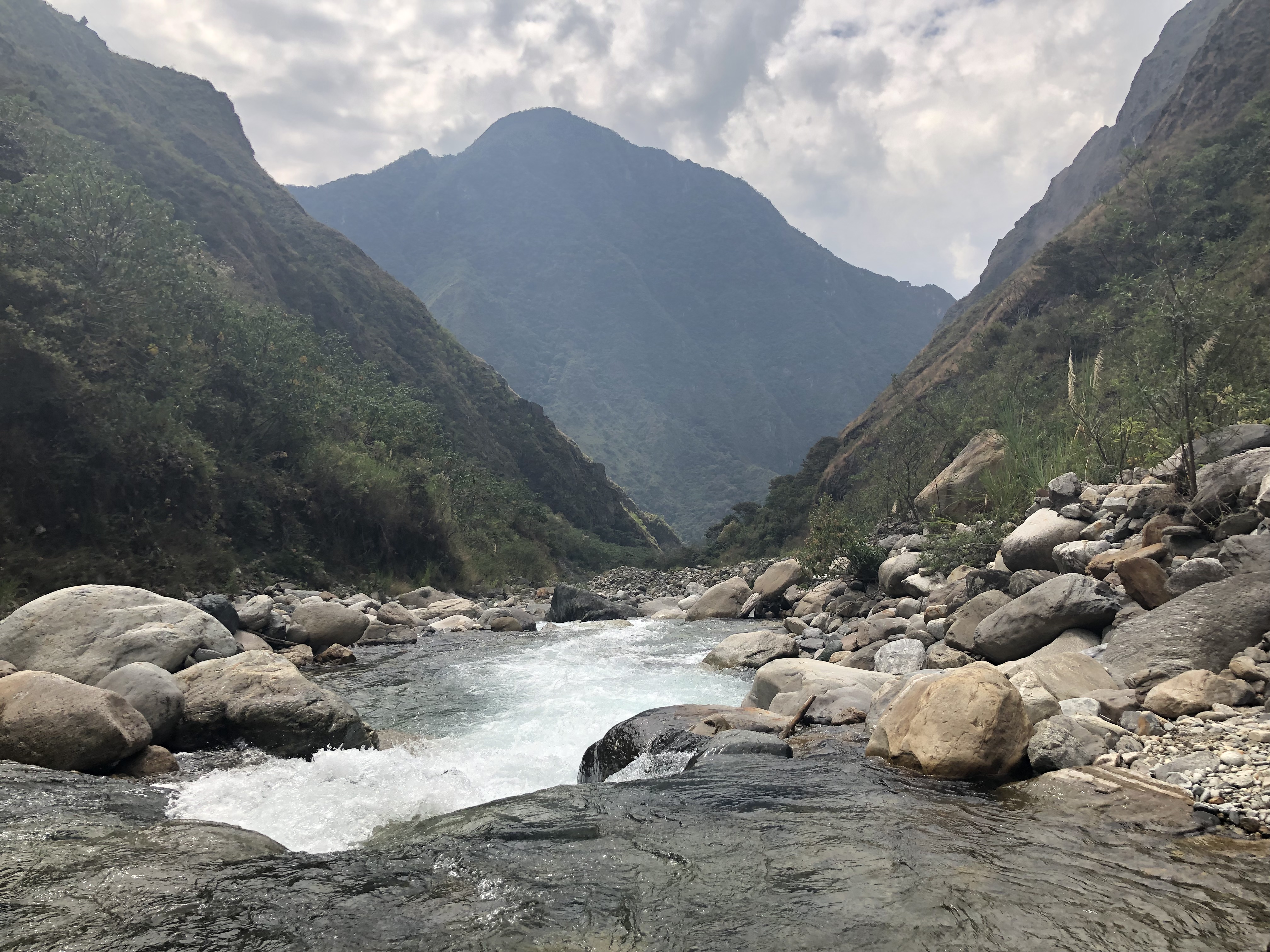
After a 2 hour collectiva ride with some throwing up children (locals, not Lyle and Joe), we arrived in Mollepata and started the Salkantay Trek. The first day consisted of a 22km of walking with 1000m total ascent ending at Soraypampa, in a valley below Salkantay.
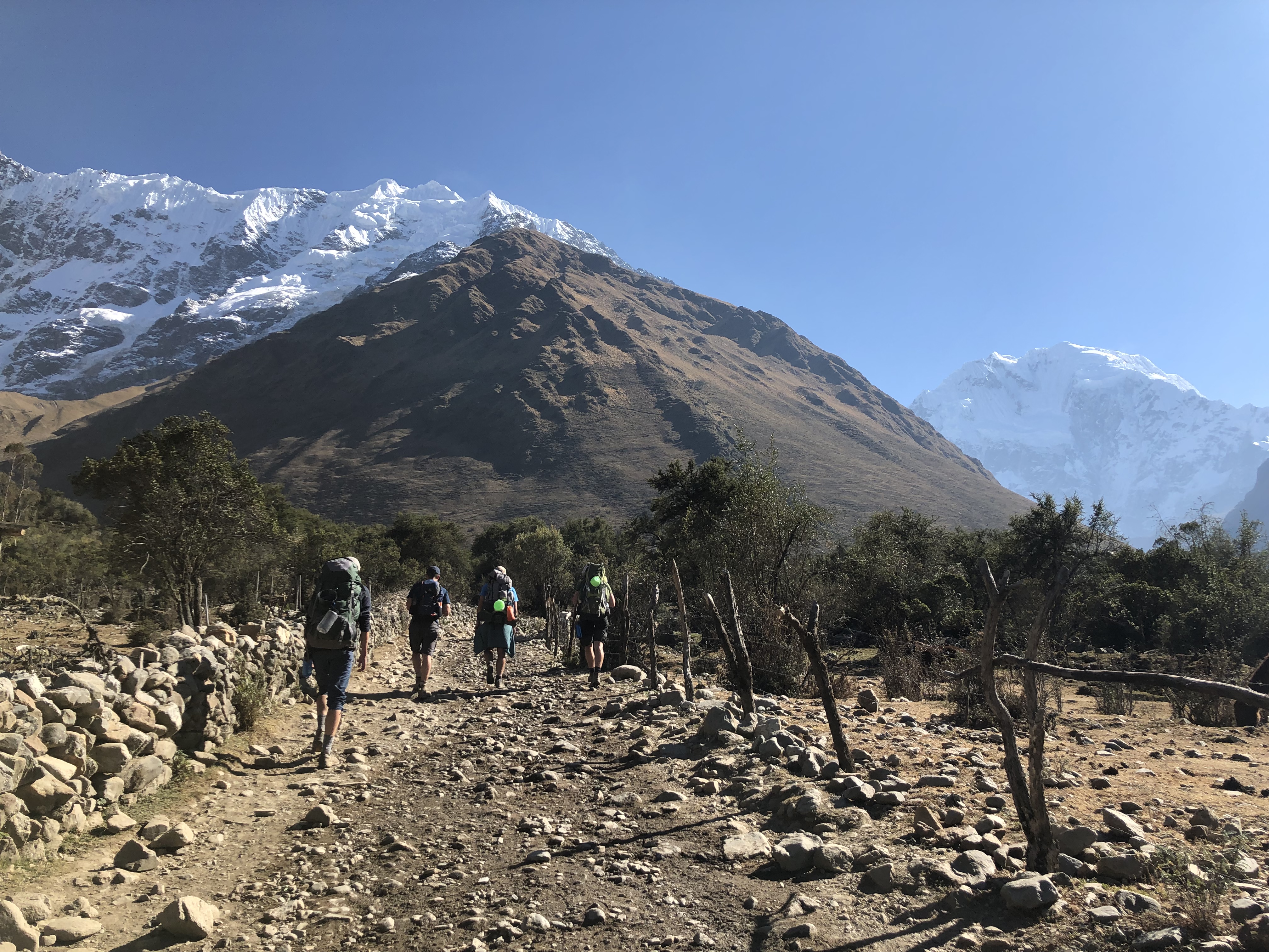
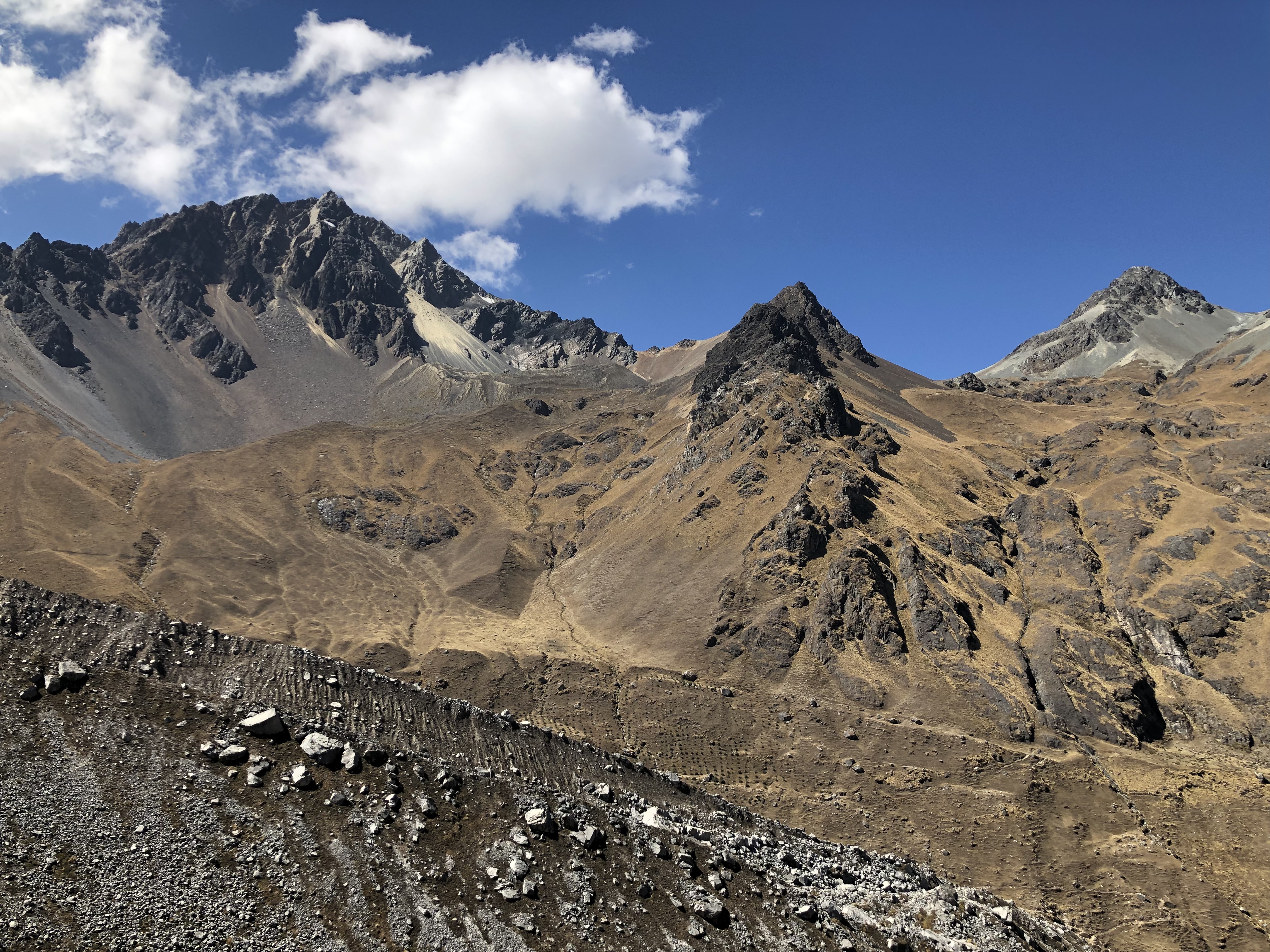
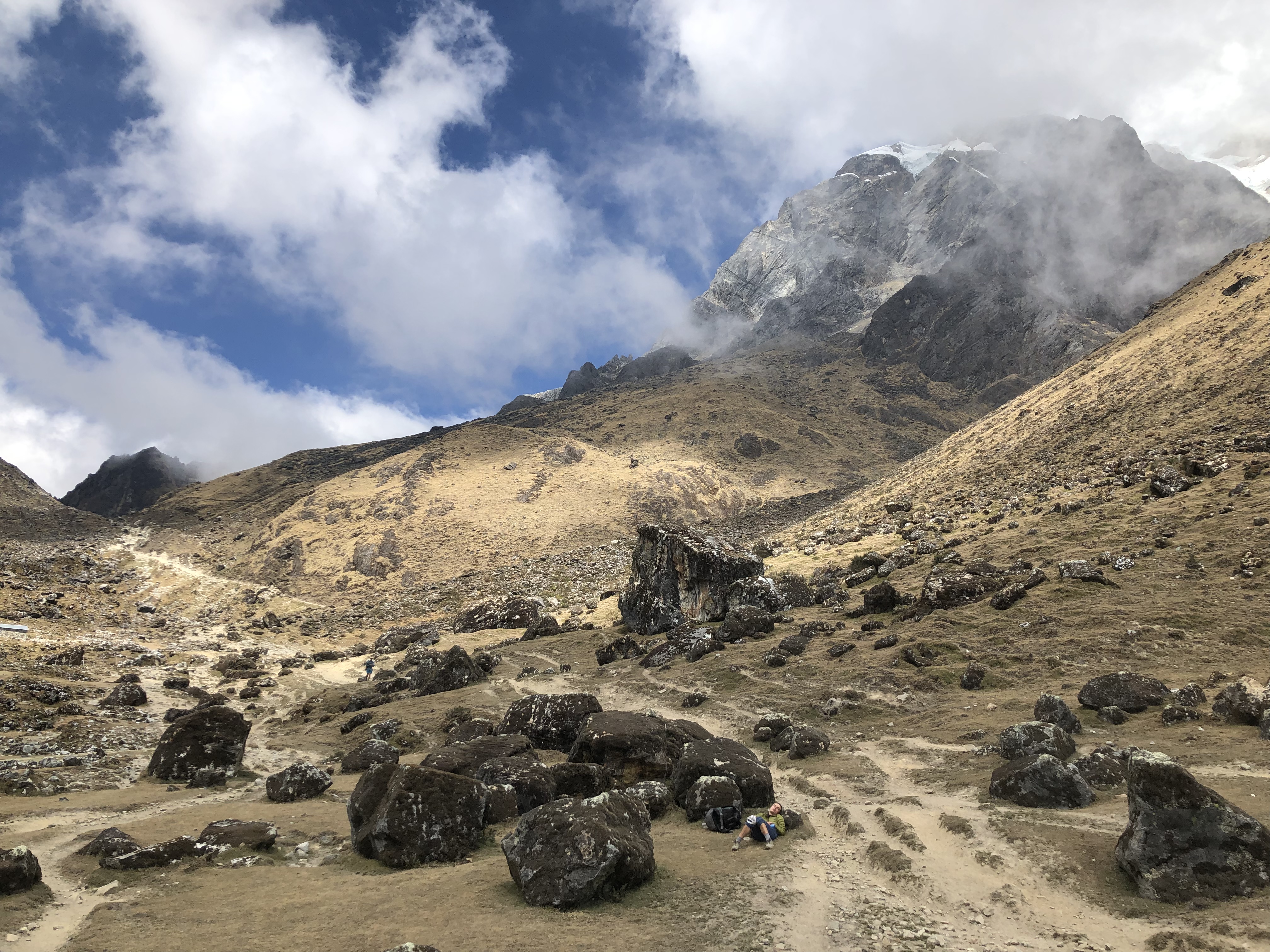
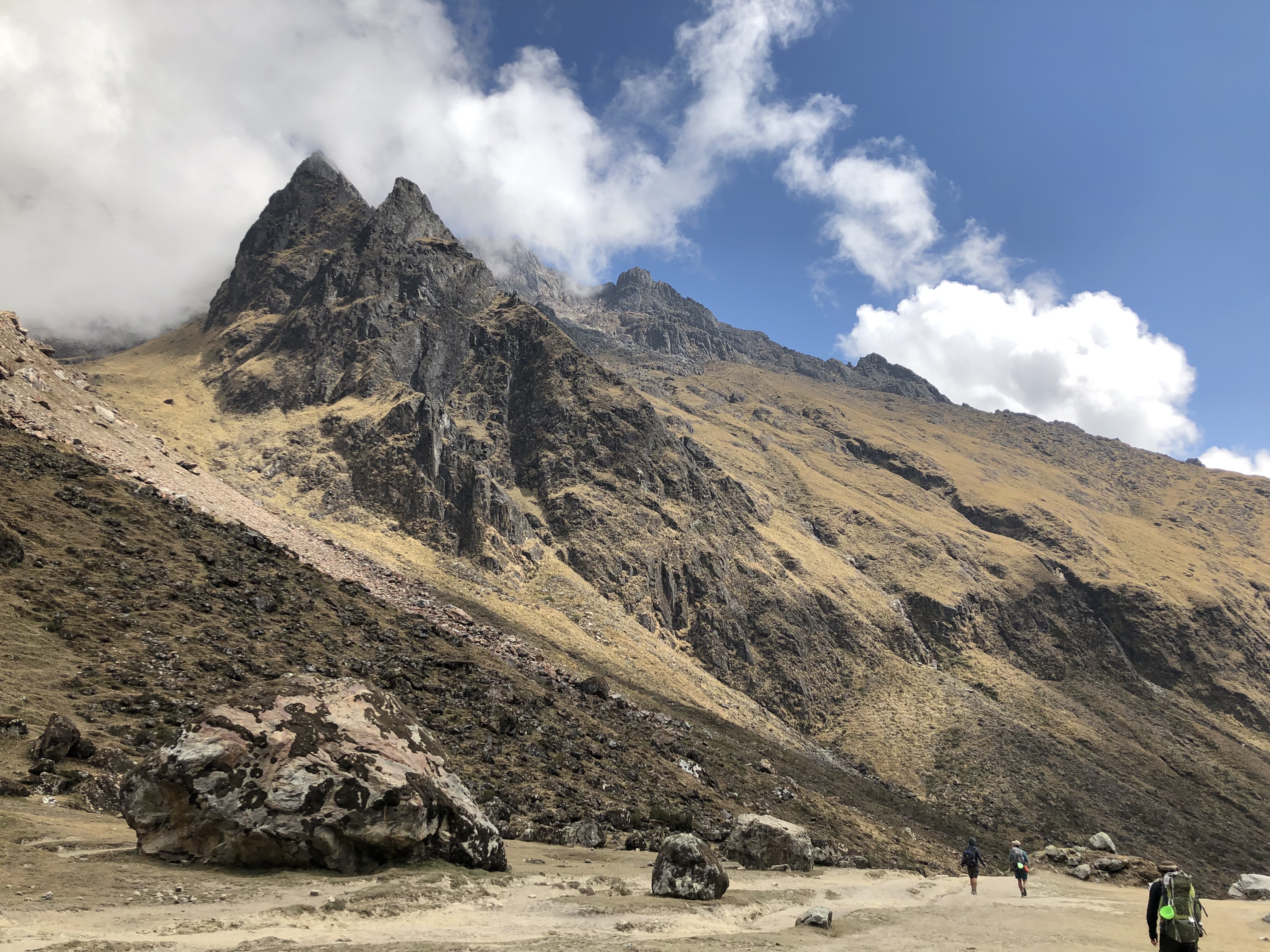
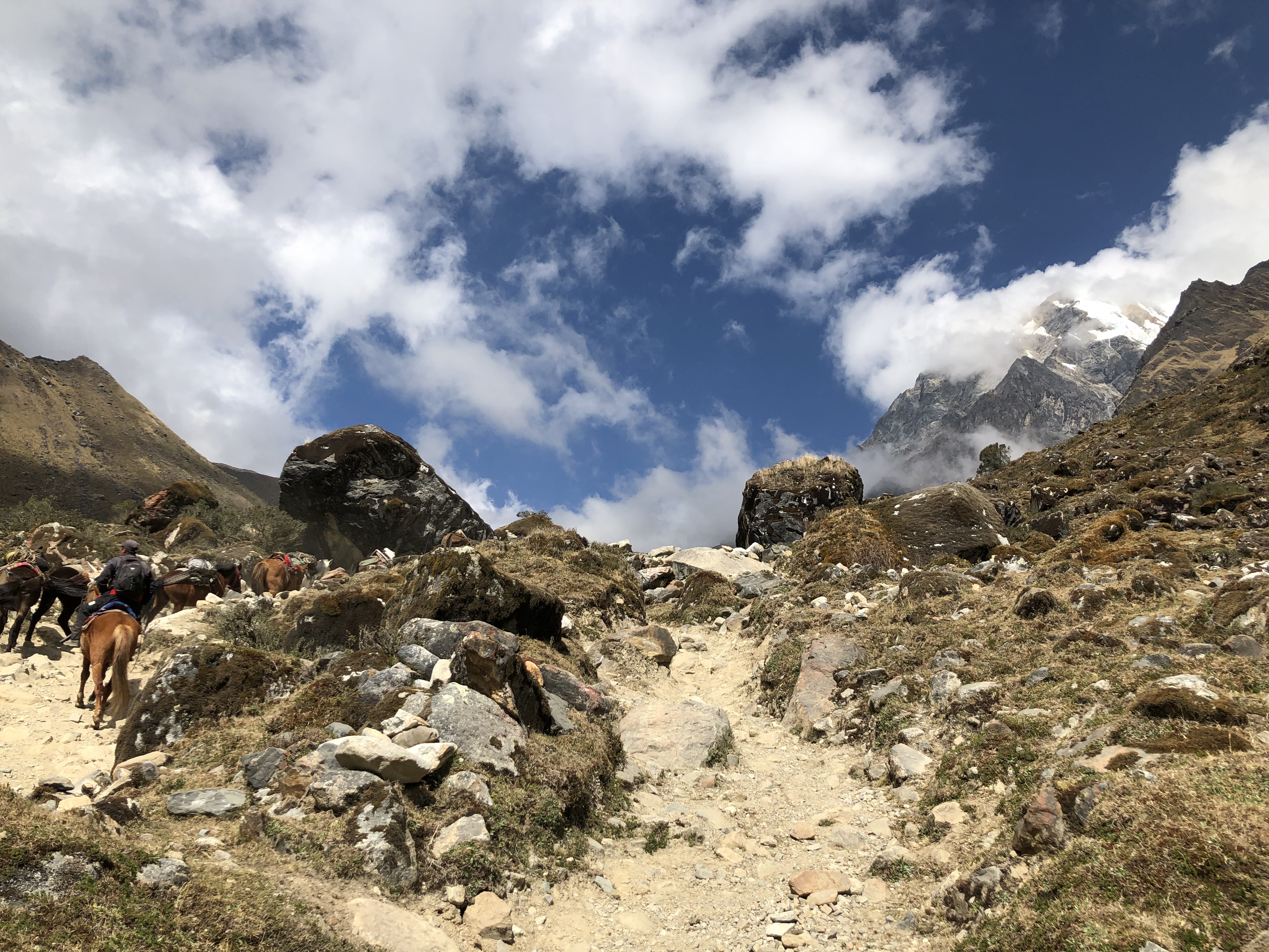
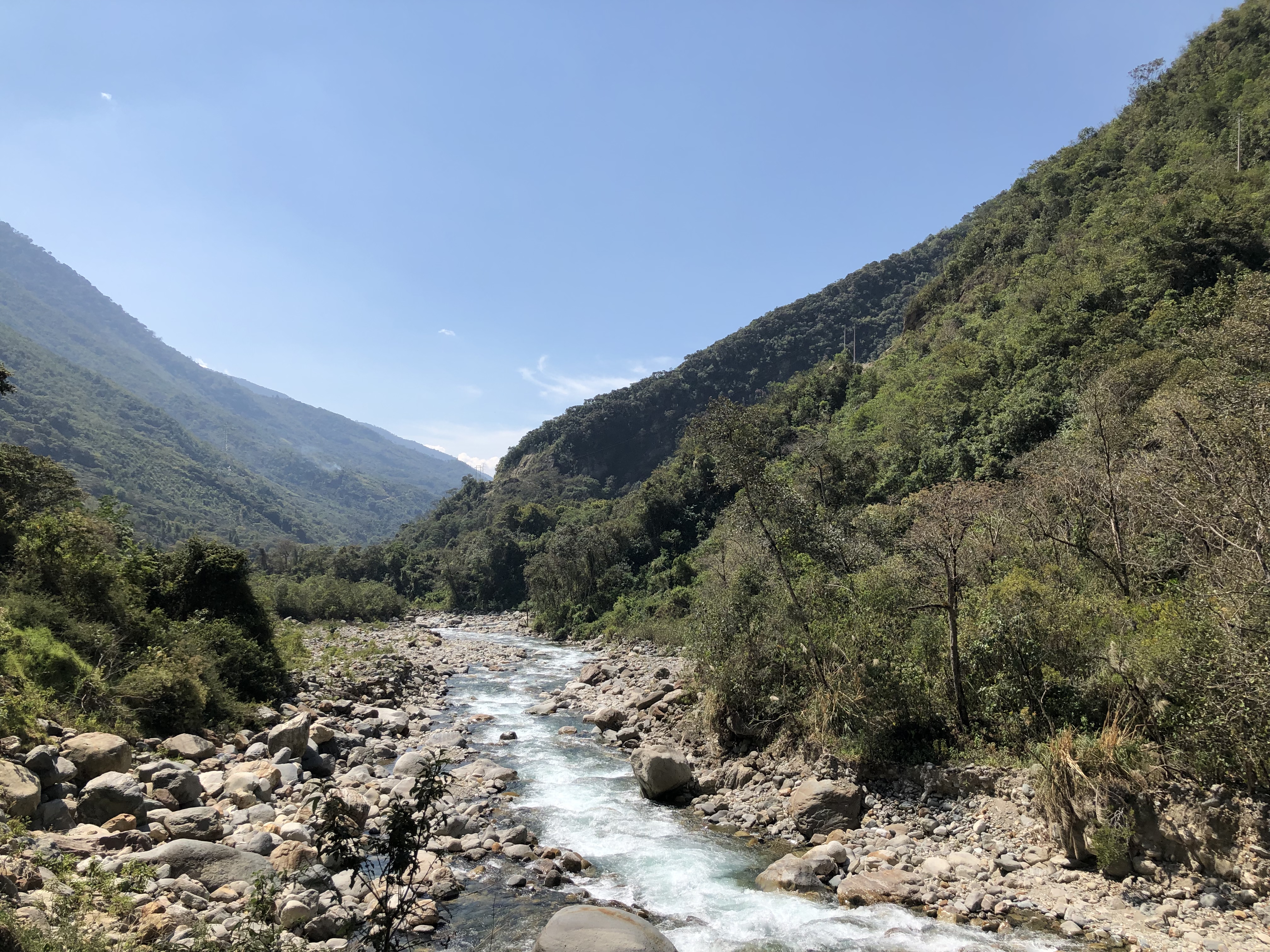
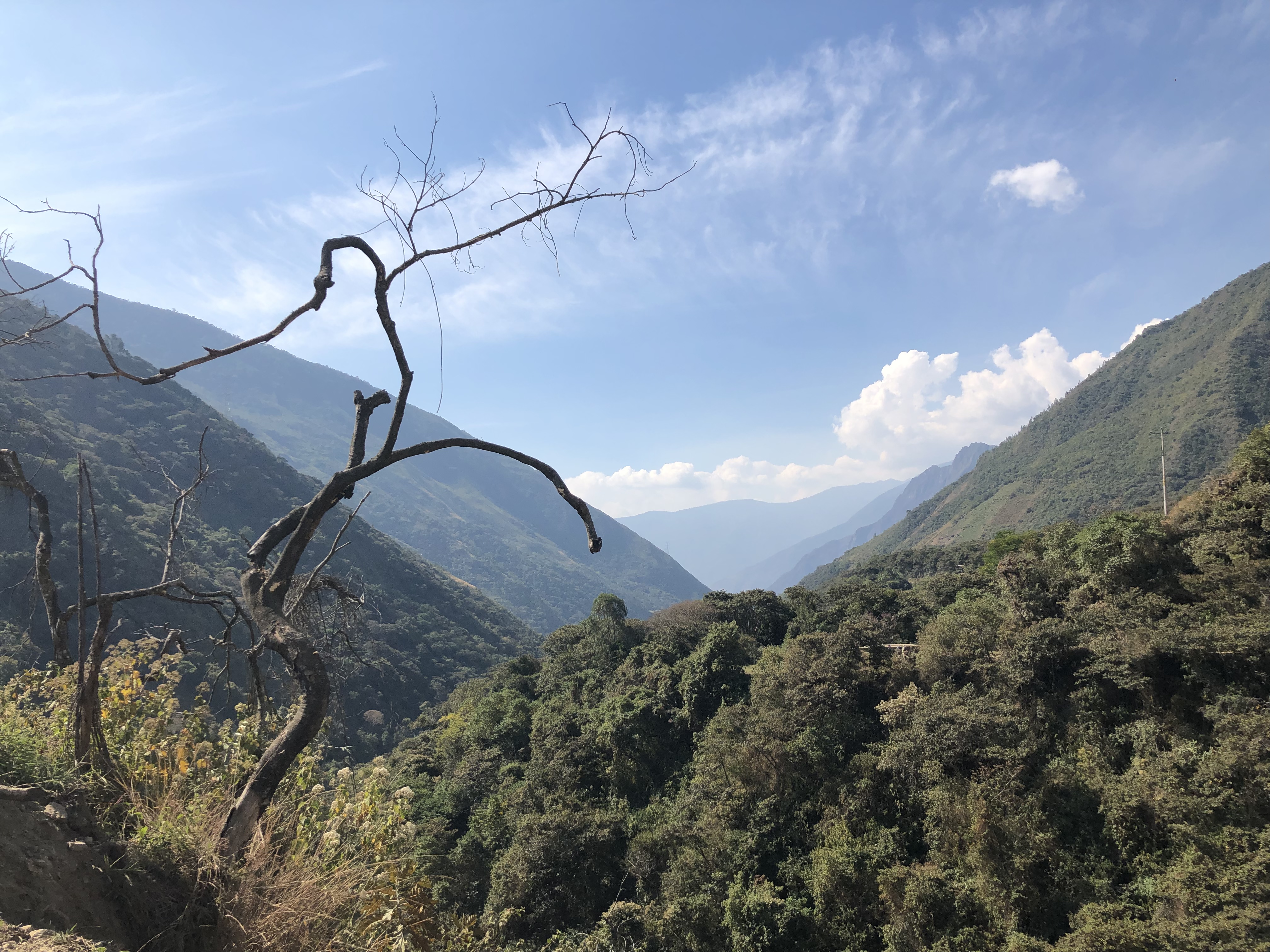
The second day began with 800m ascent to the peak of the hike, at 4850m above sea level, before descending around 1500m throughout the rest of the day. We found the climb much easier than on the takesi trail, clearly far better acclimatised and used to the air. 22km later and we arrived at Collpapampa for the night.
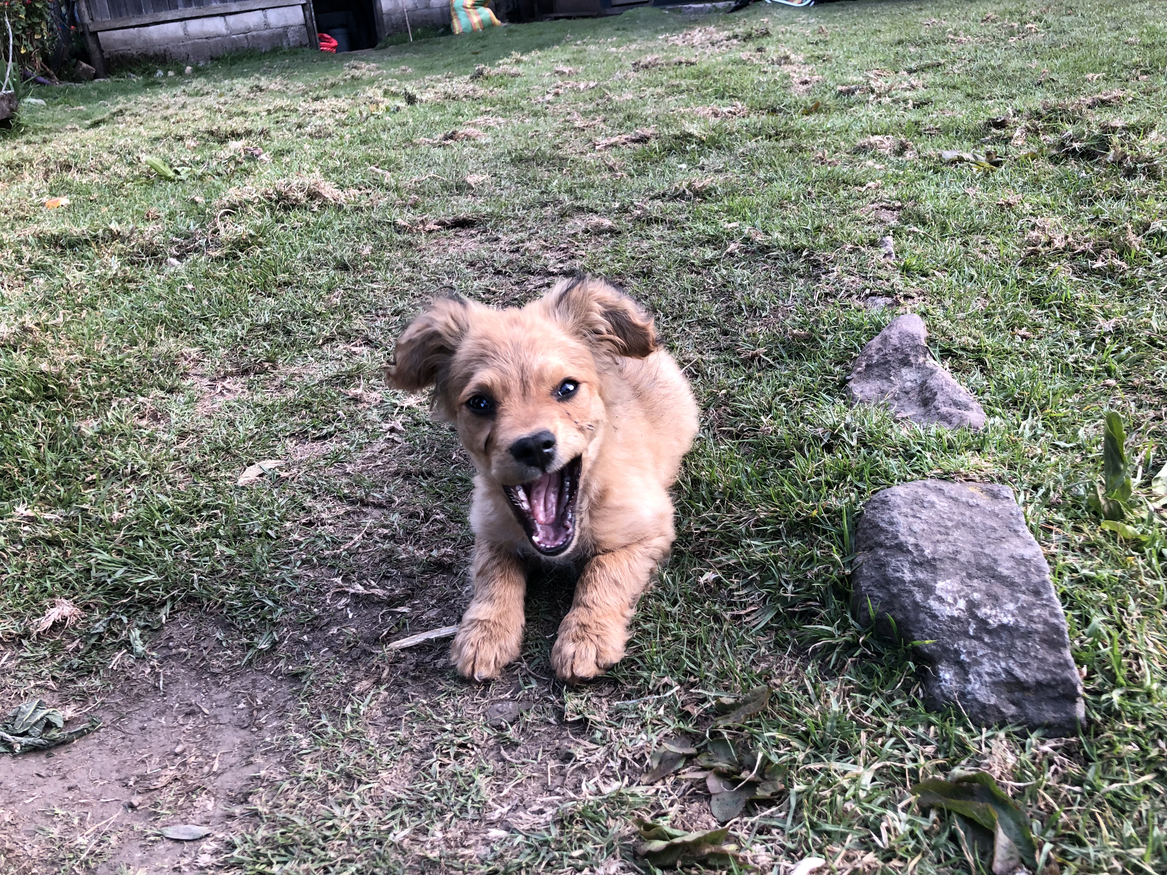
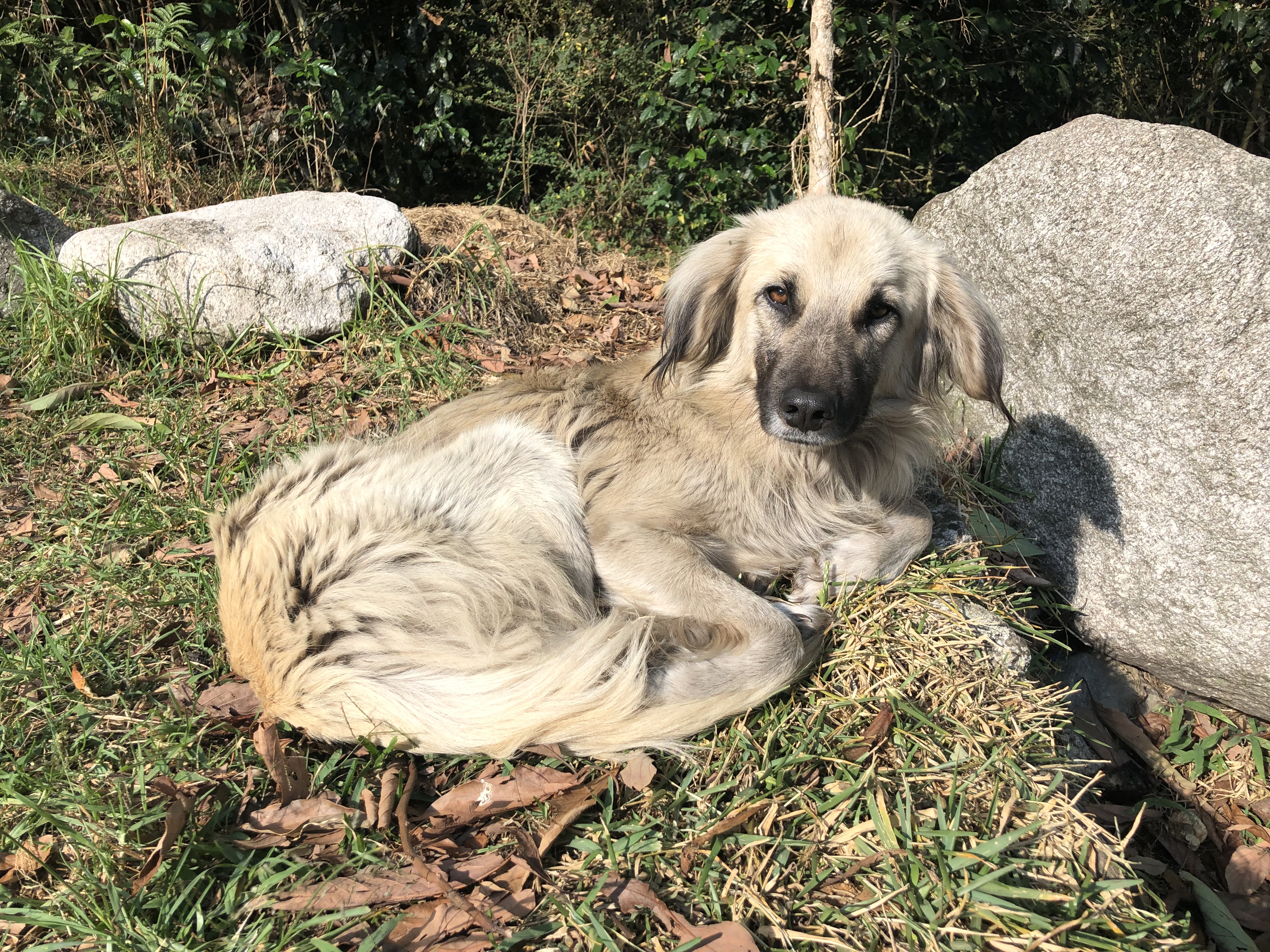
Included on the sign was a warning to watch out for bears!CollapampaThe campsite dog
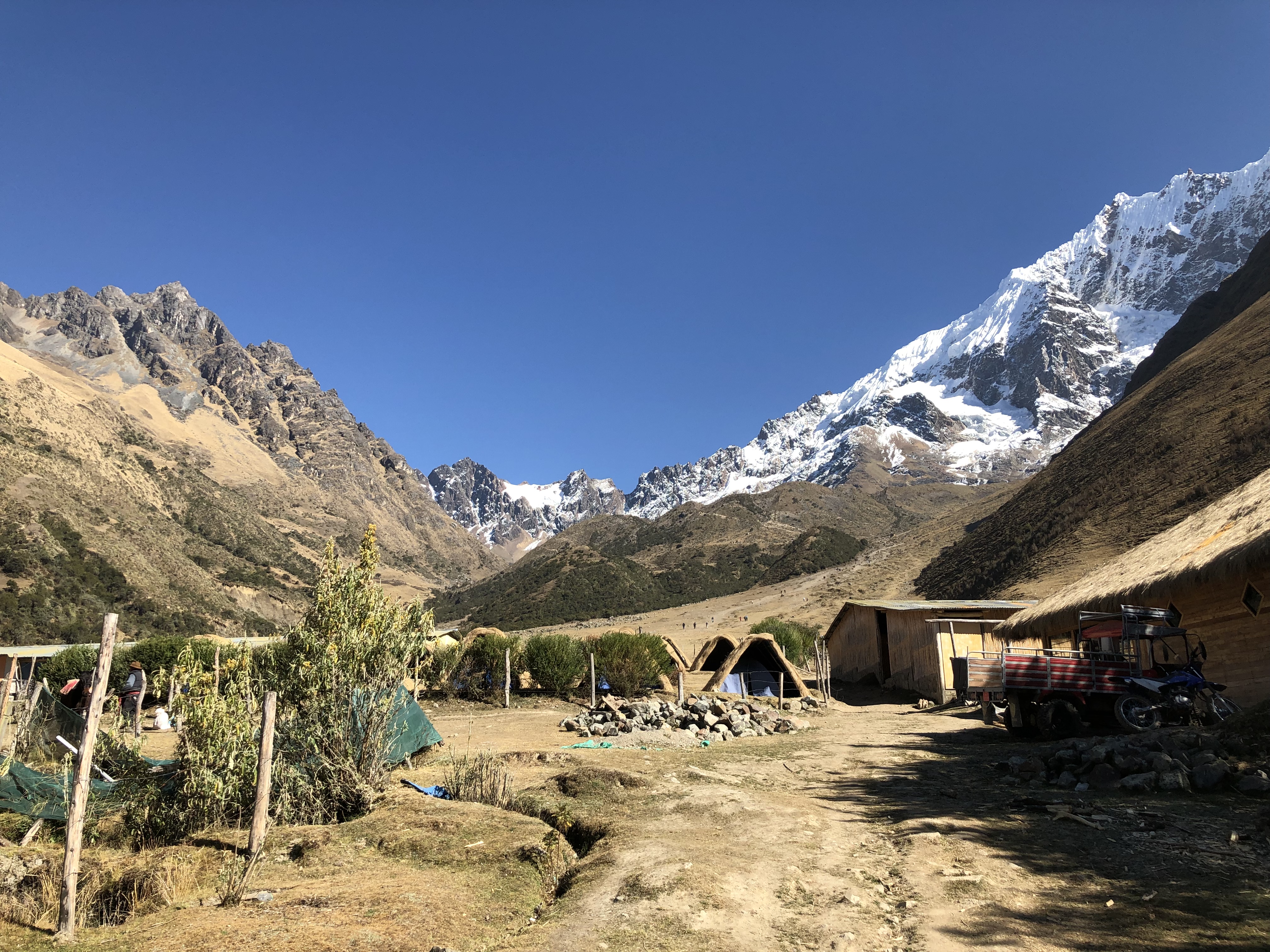
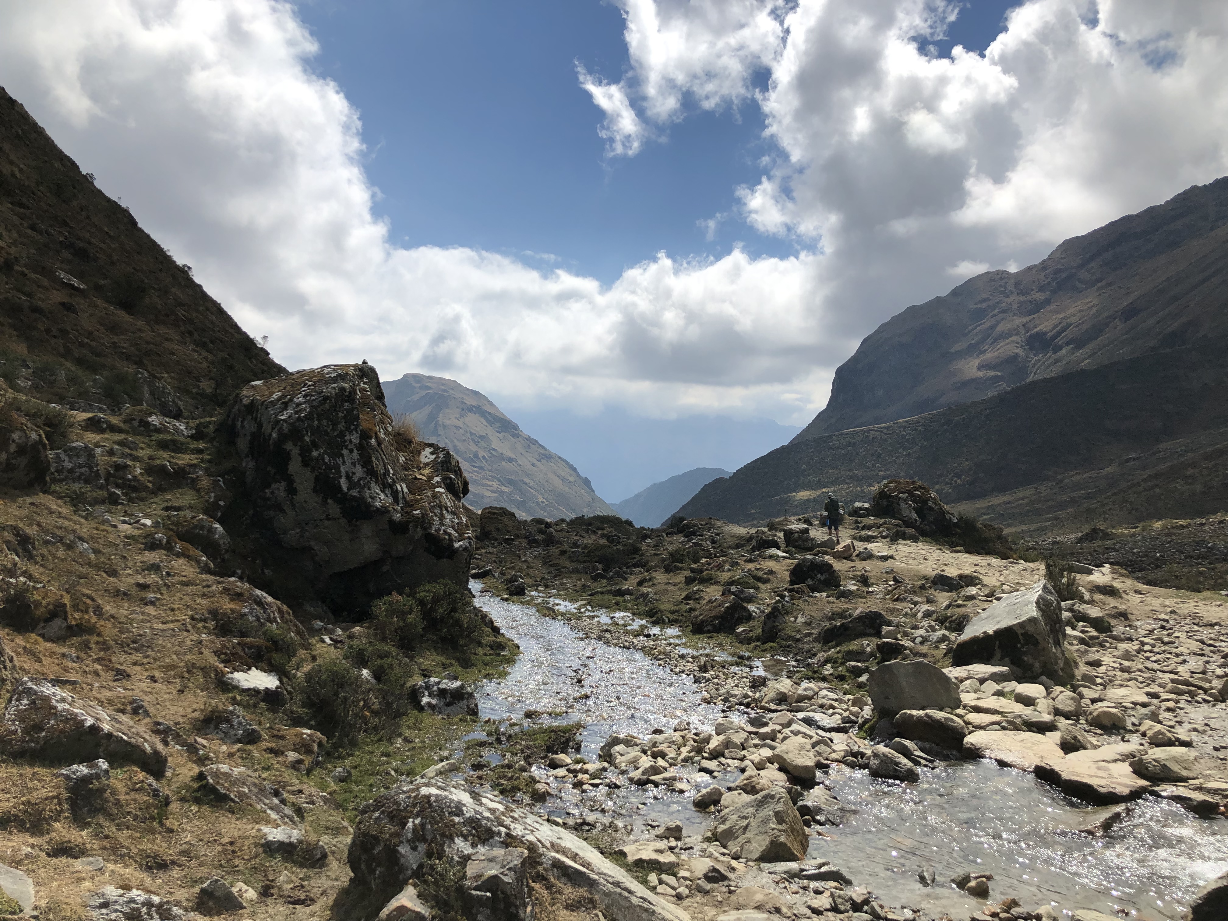
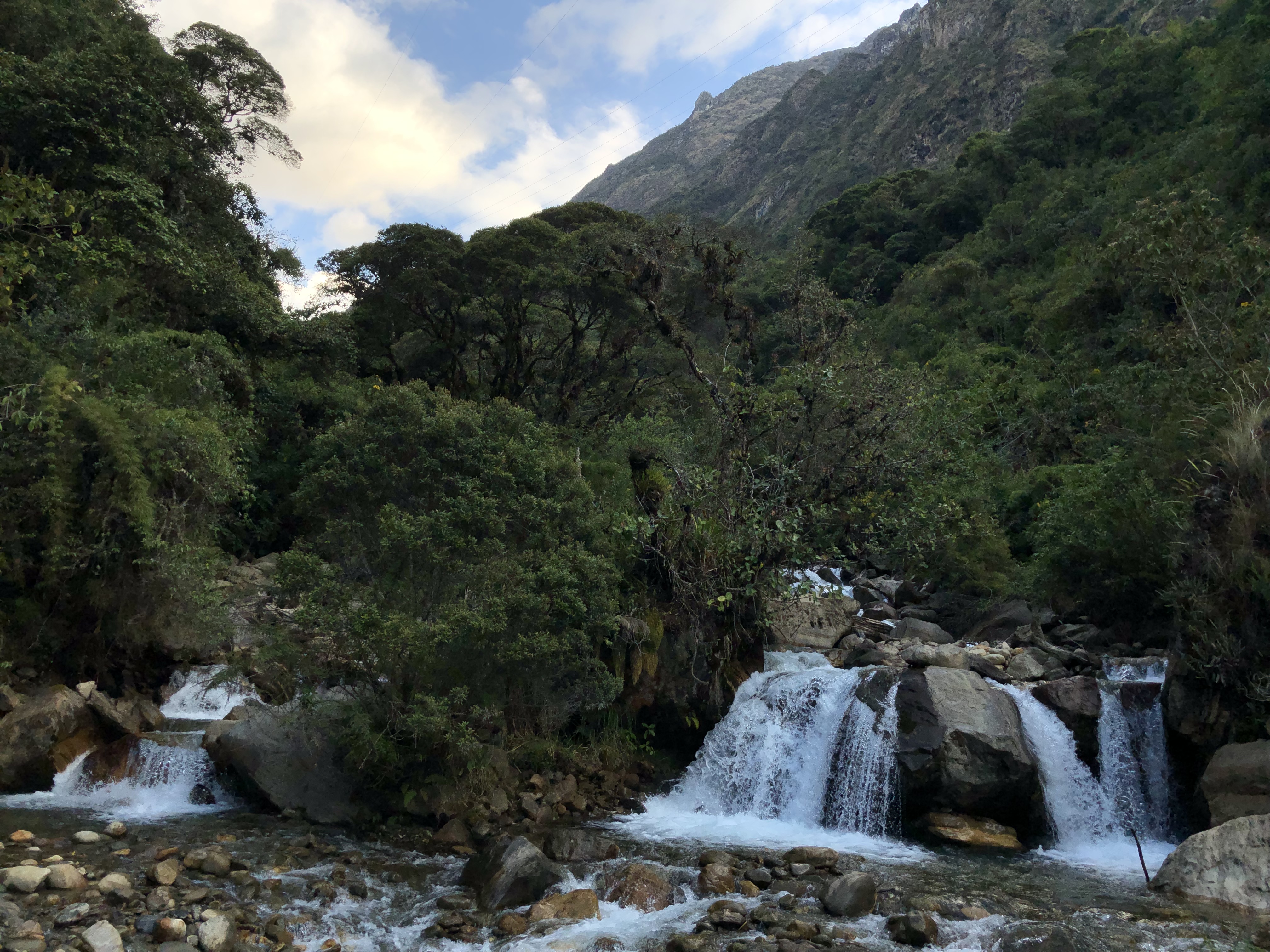
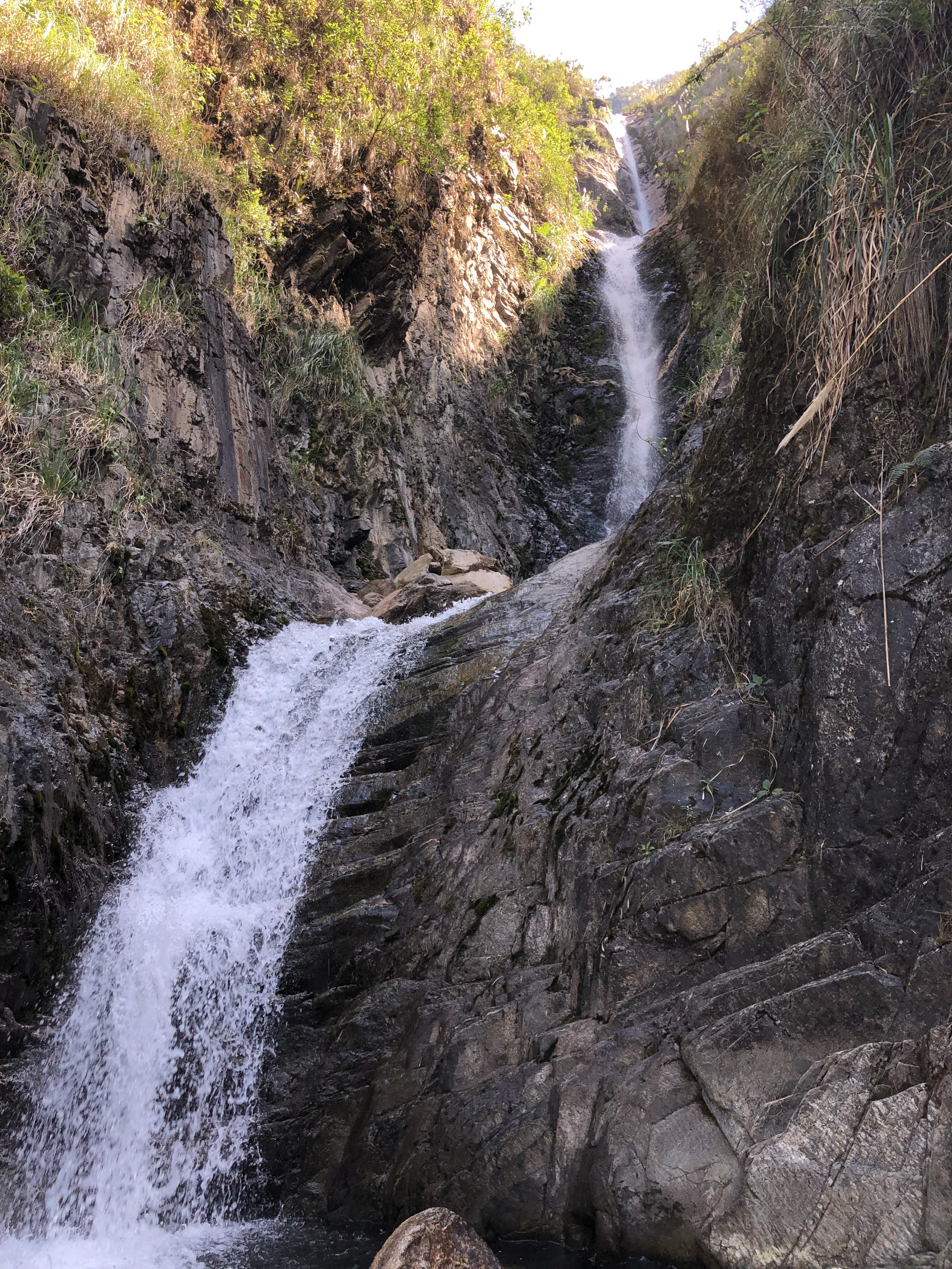
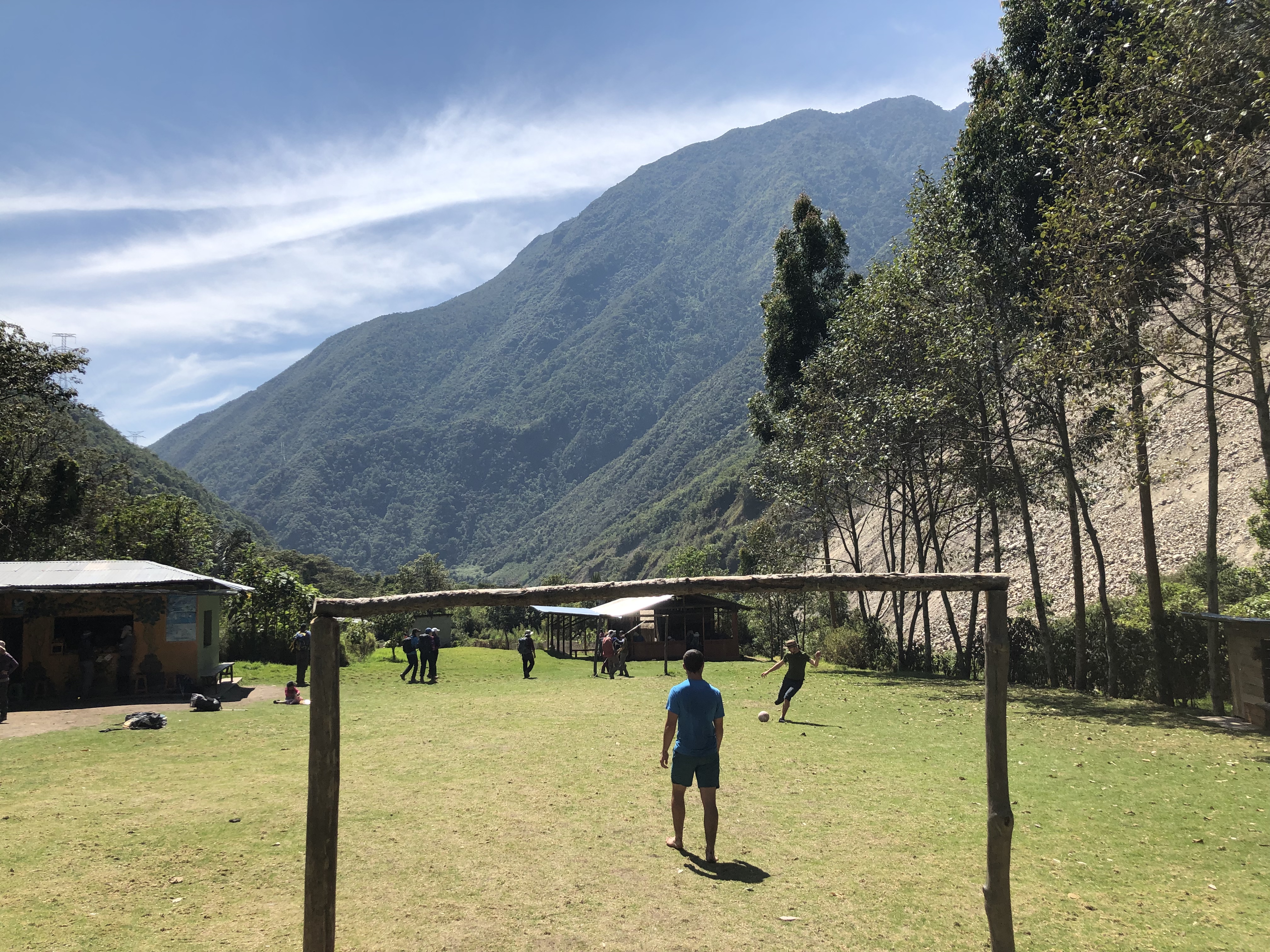
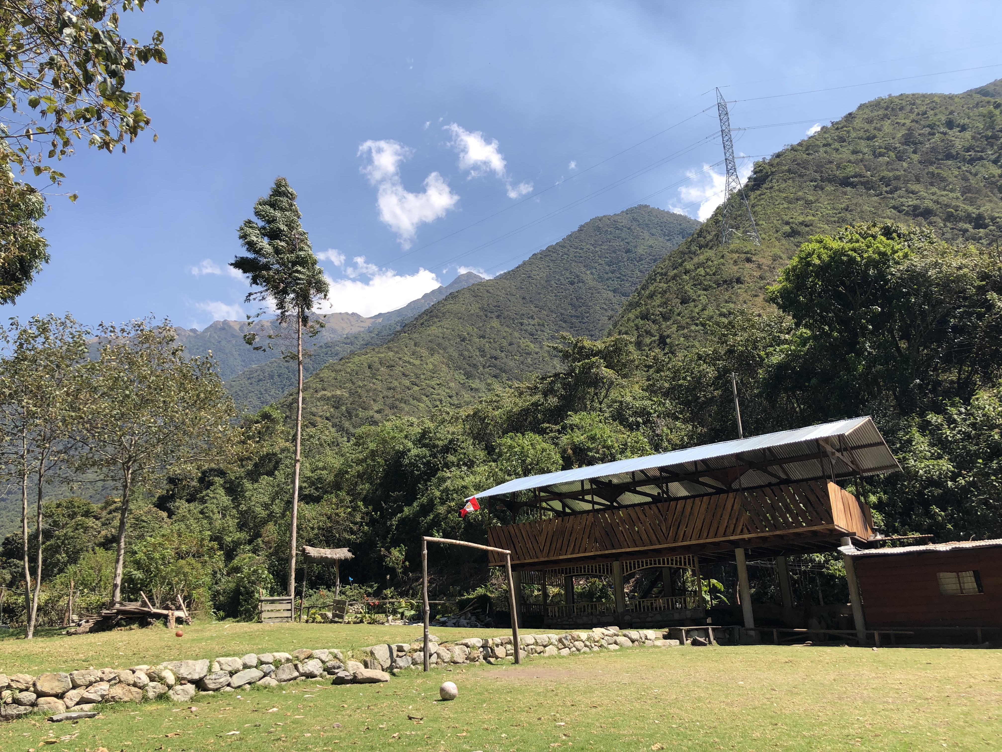
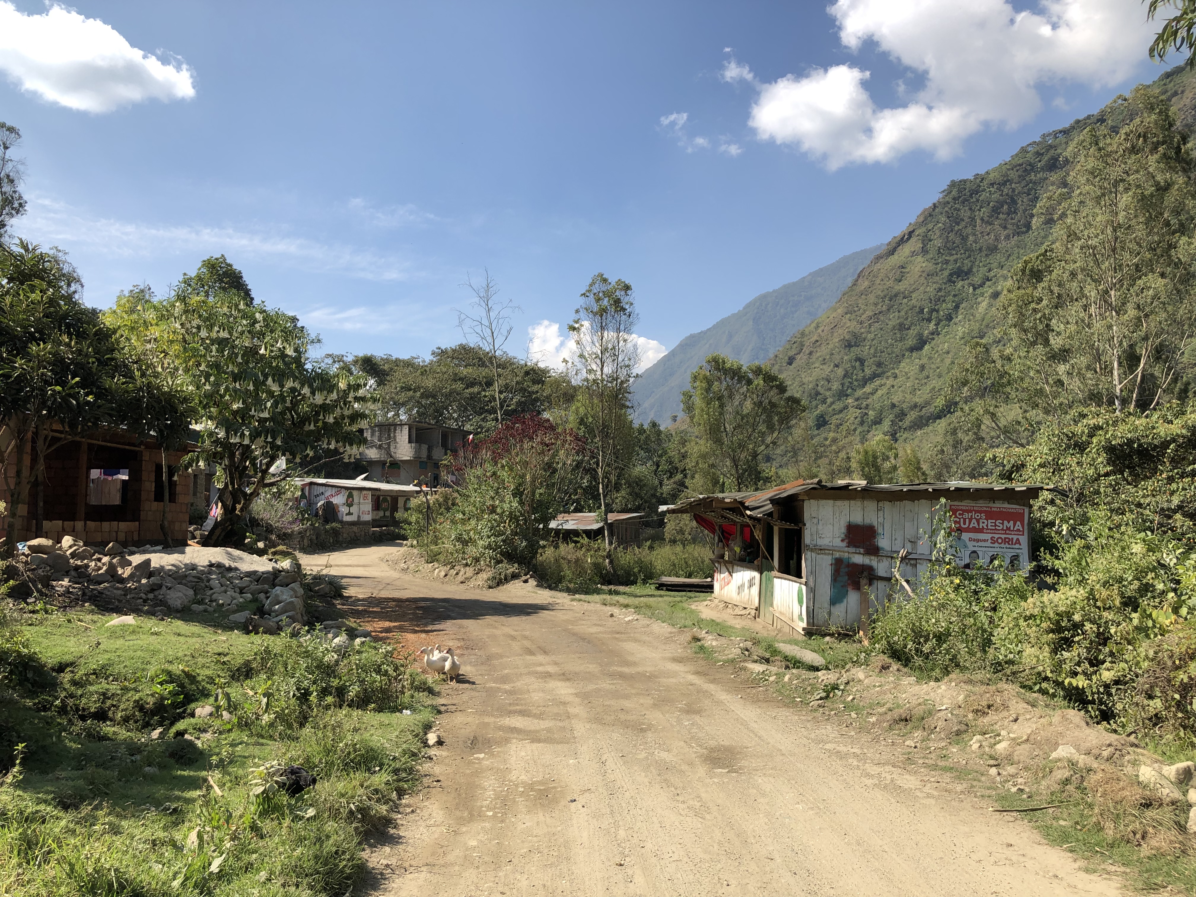
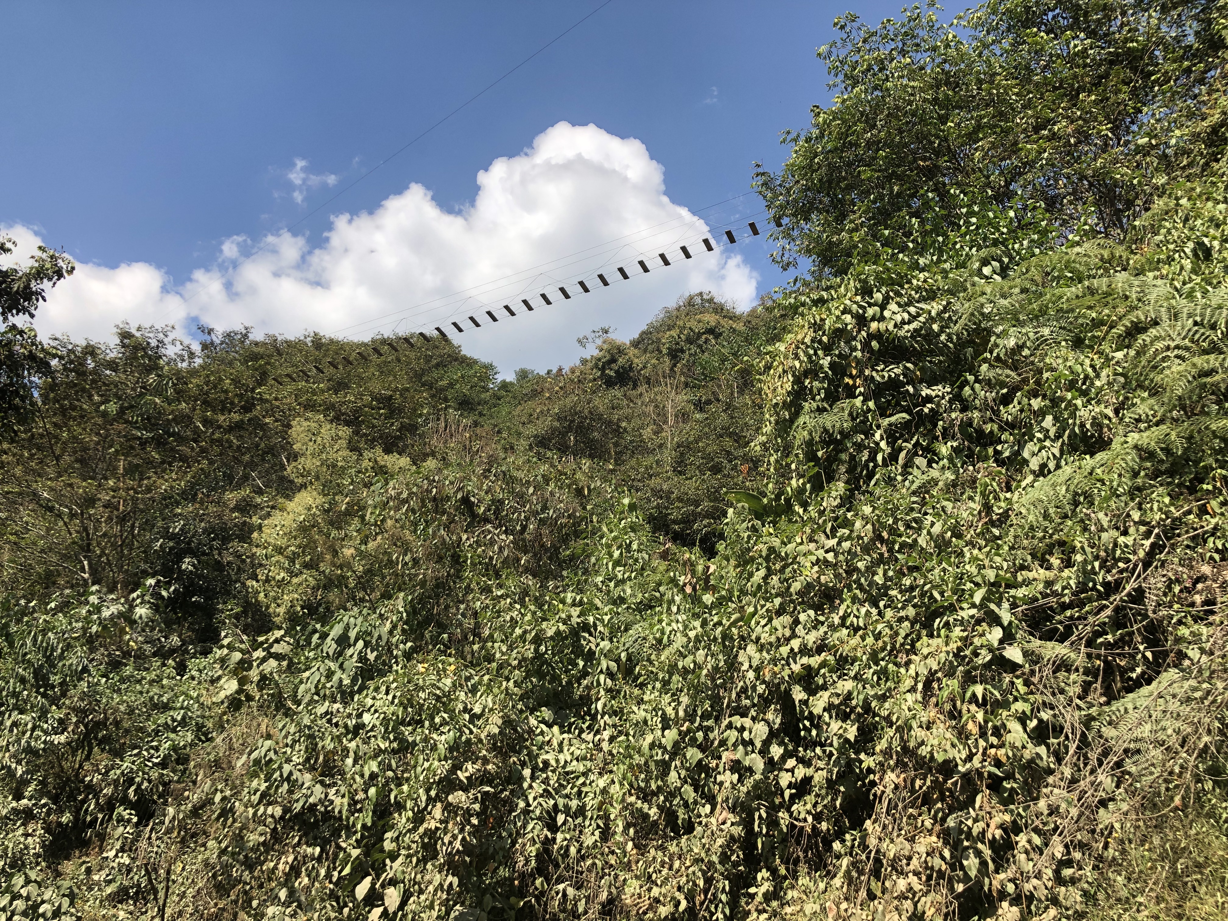
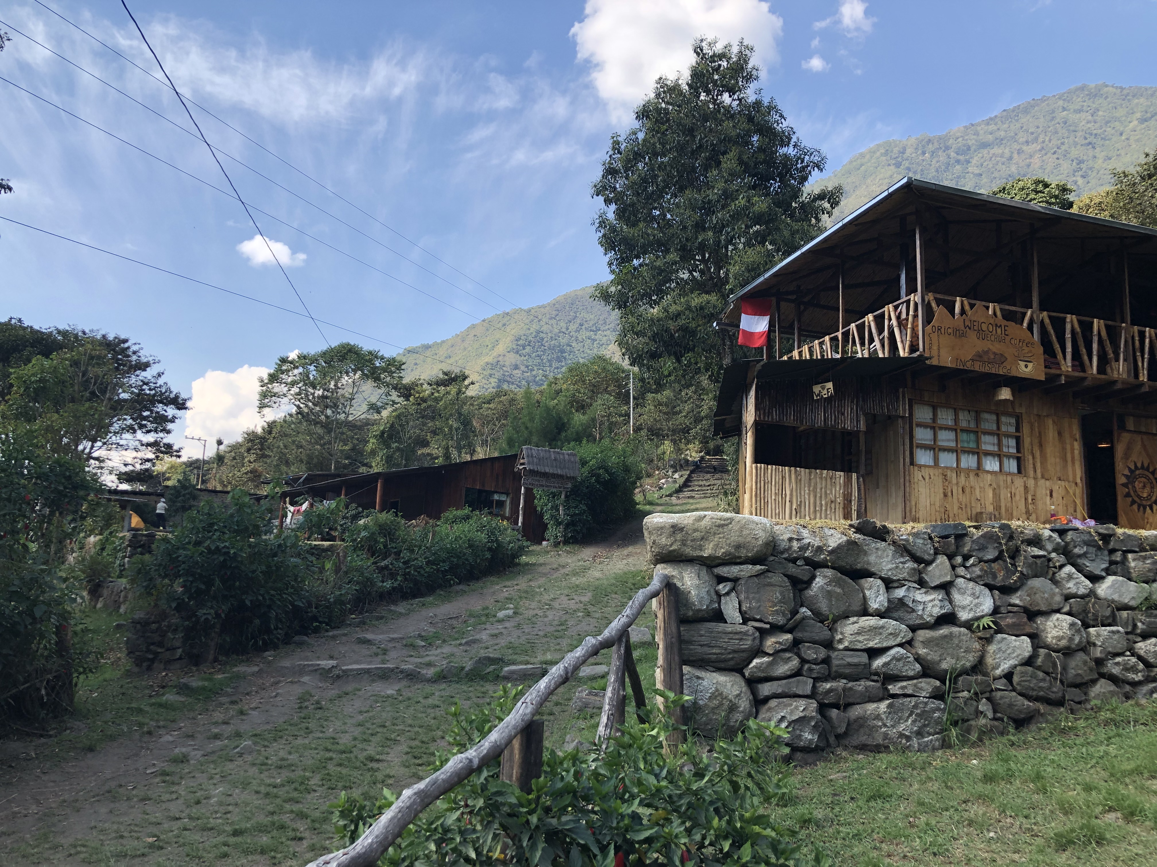
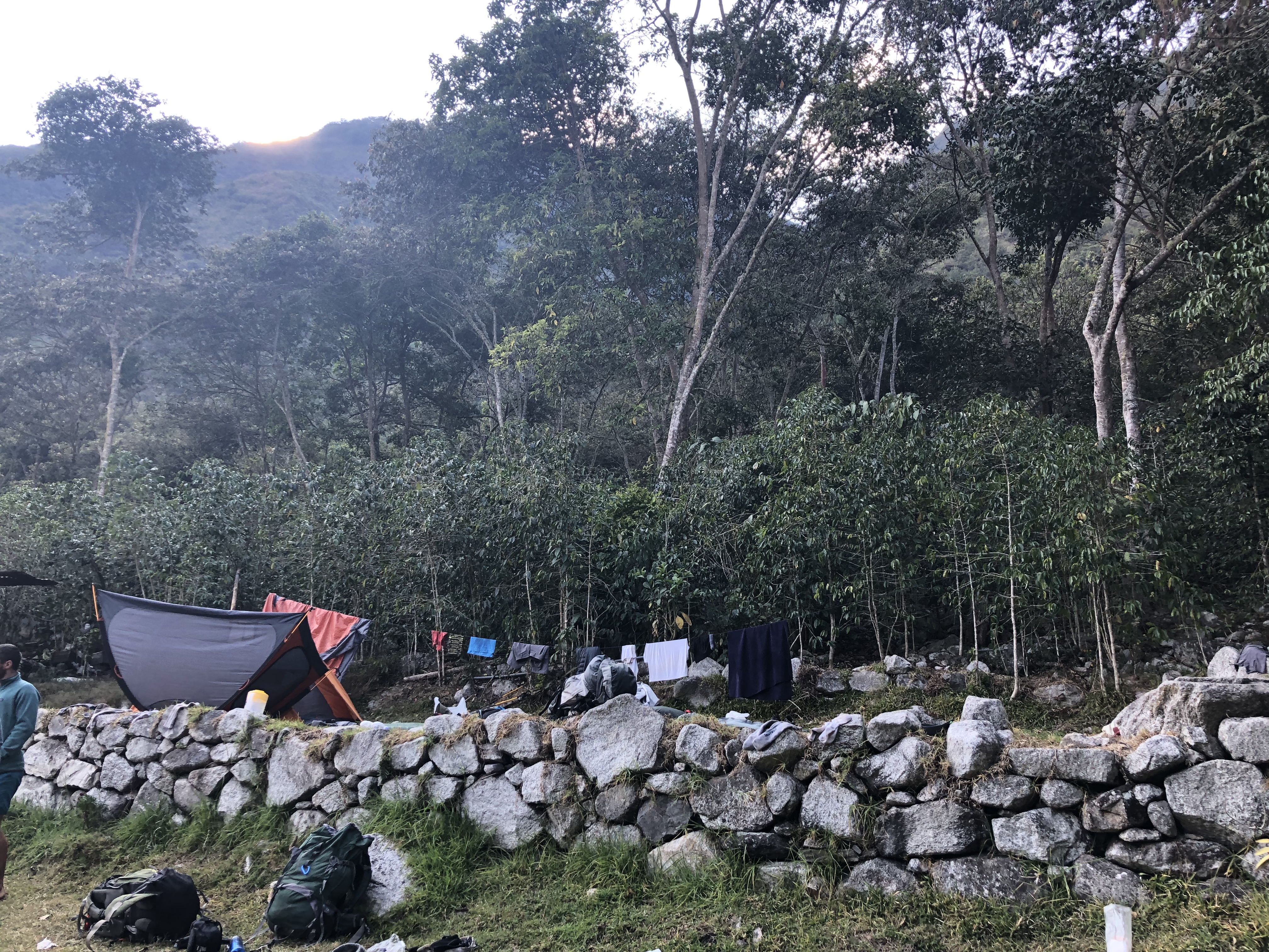
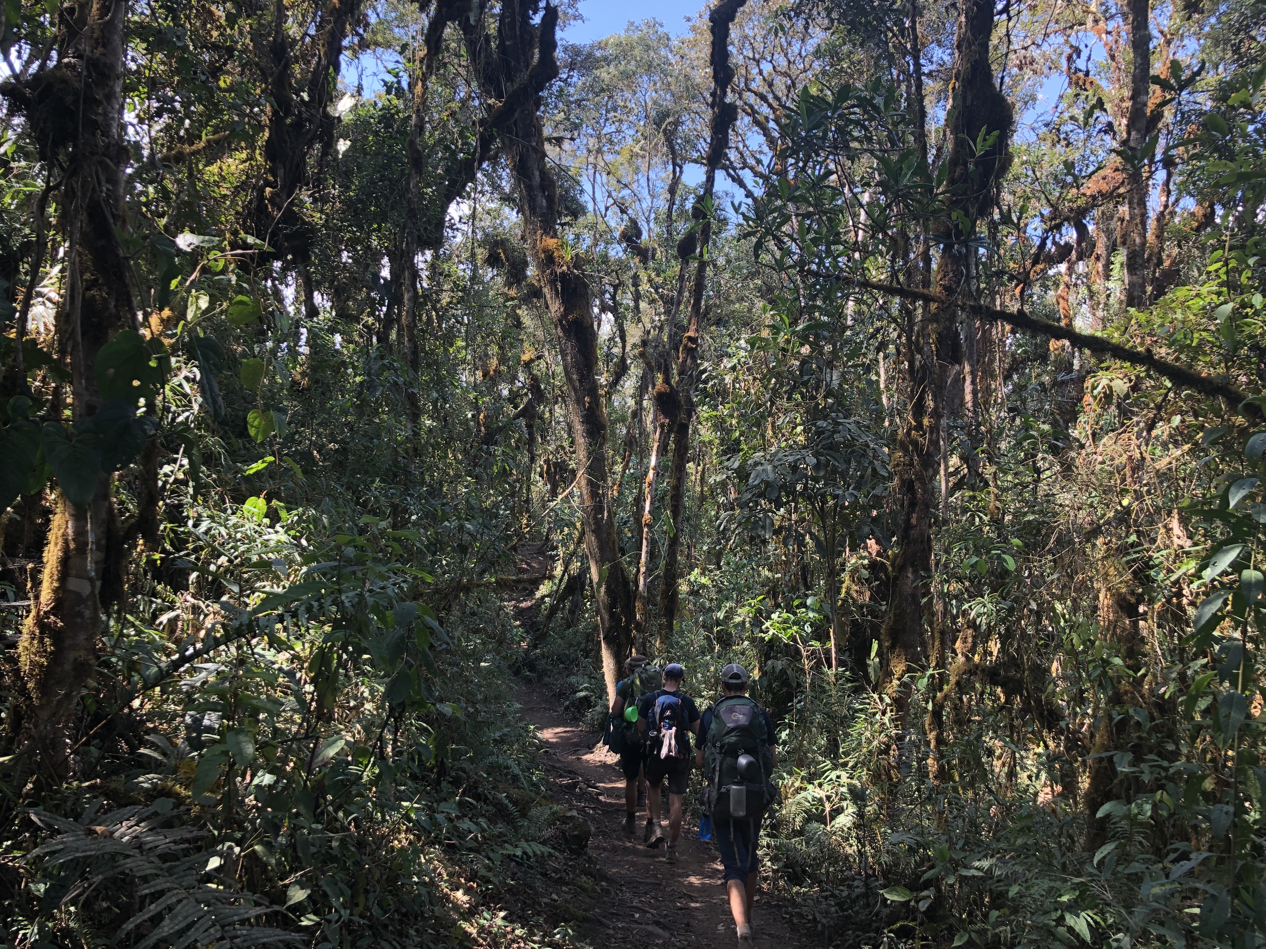
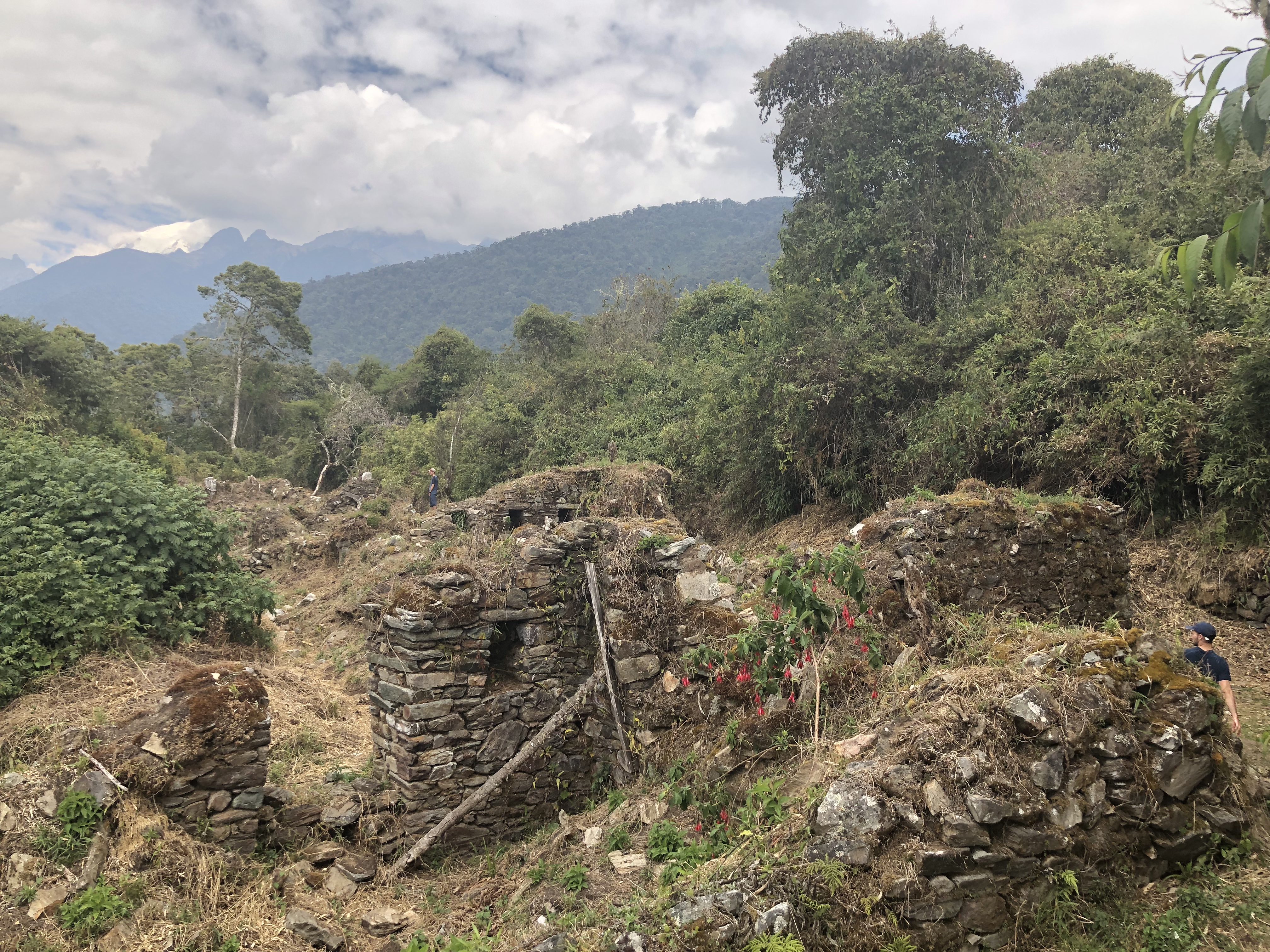
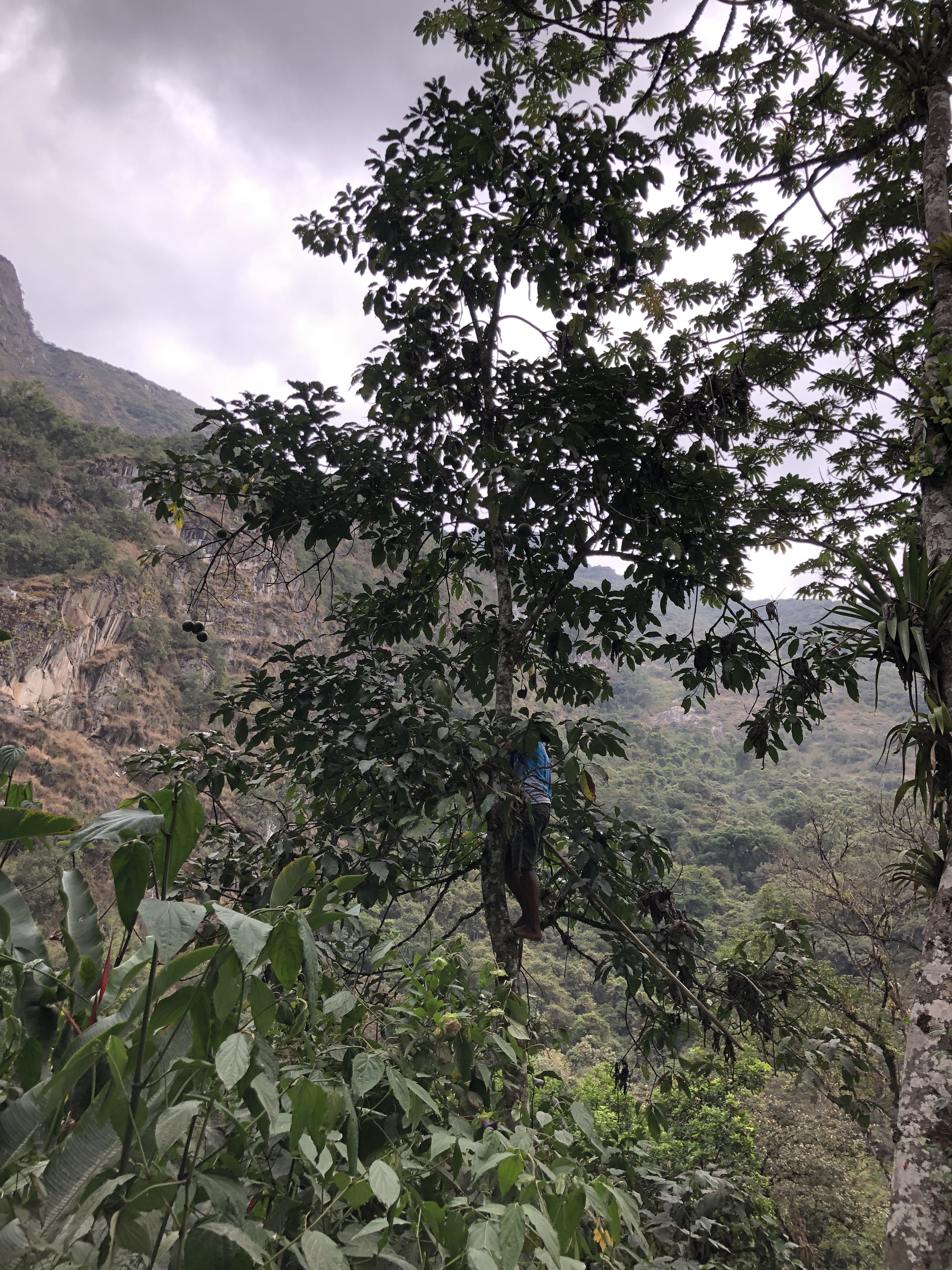
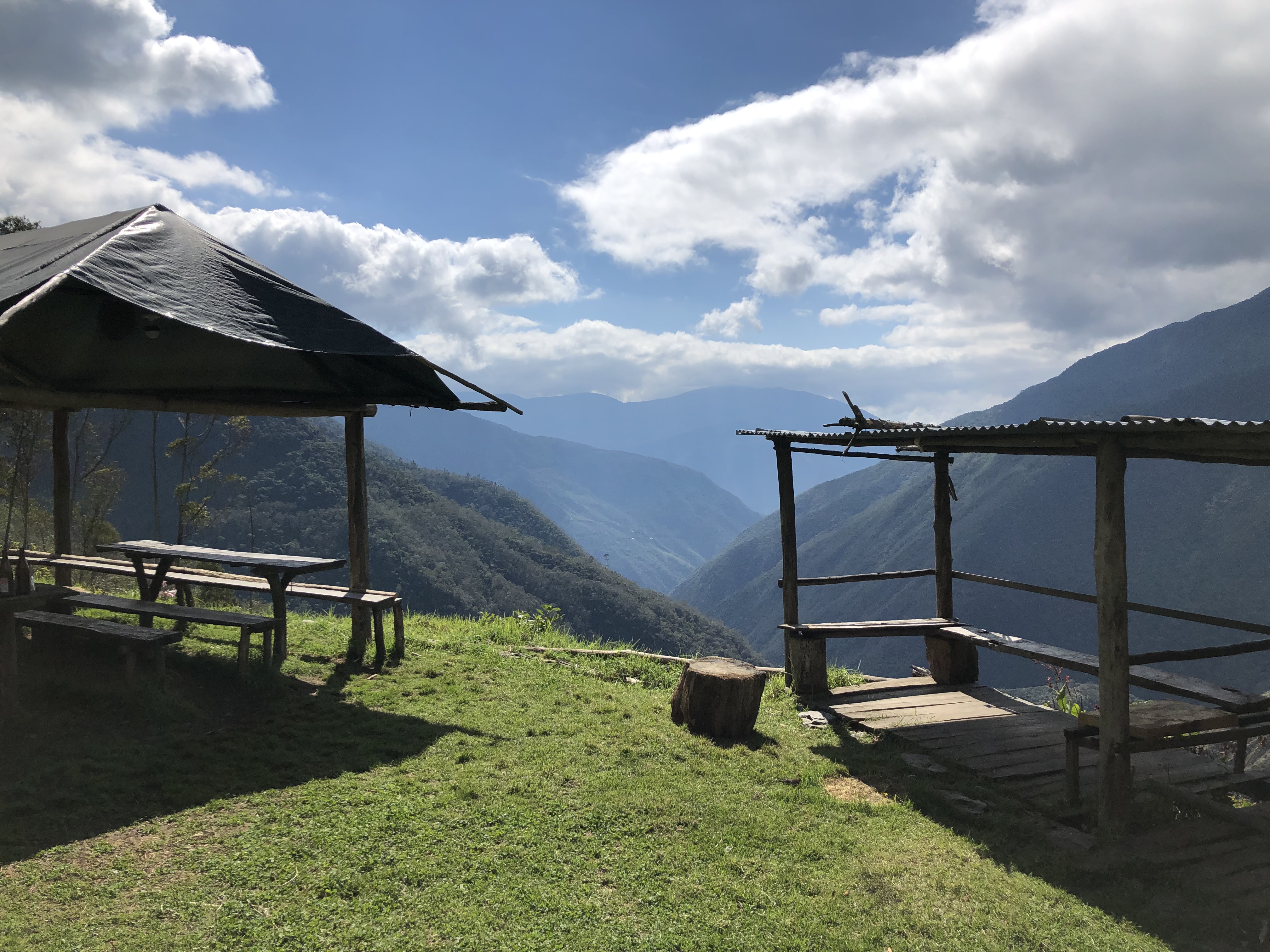
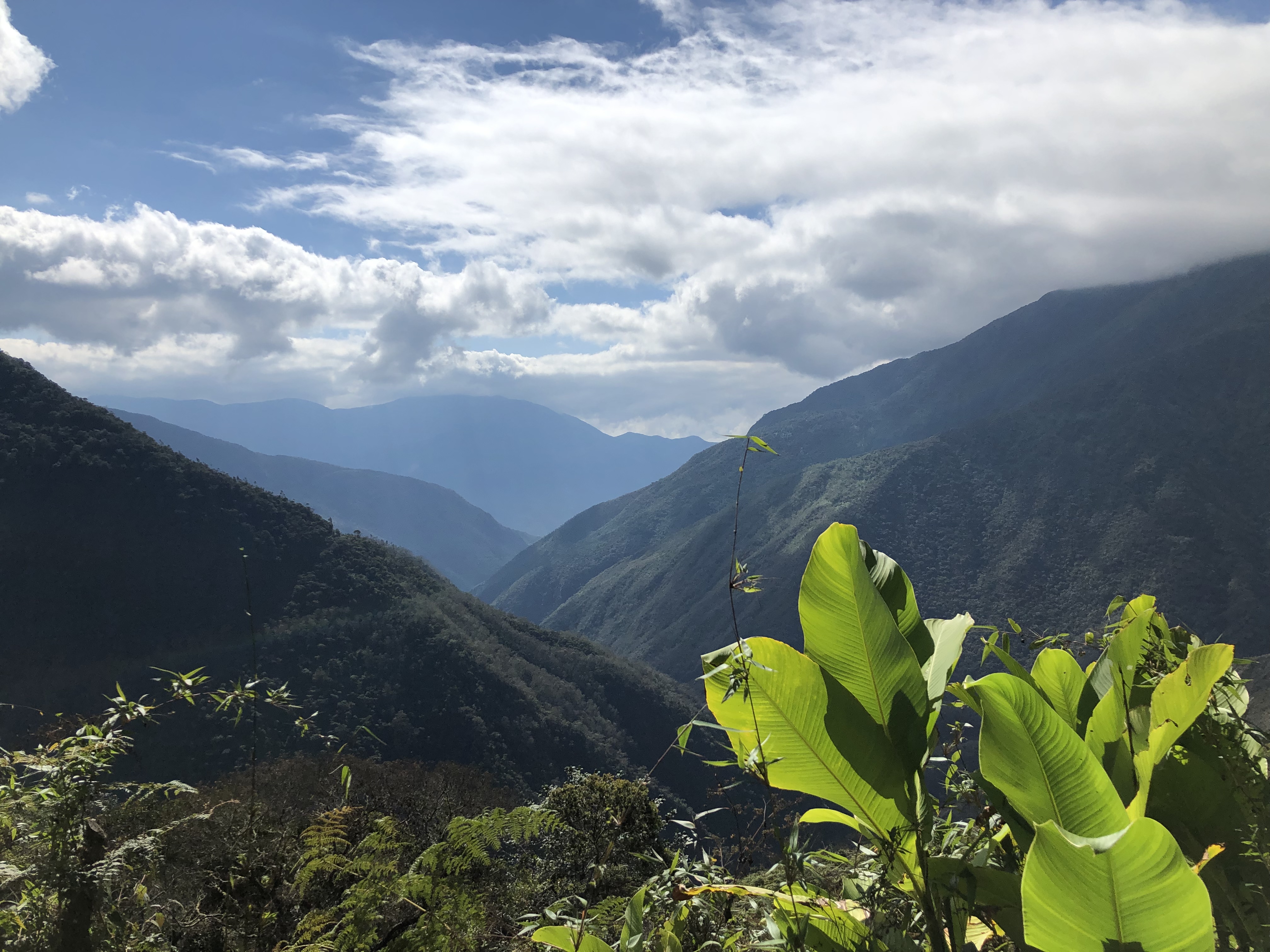
The third day we hiked from collapampa to a campsite on the way to the llactapata ruins, where they grew their own coffee and avocados.
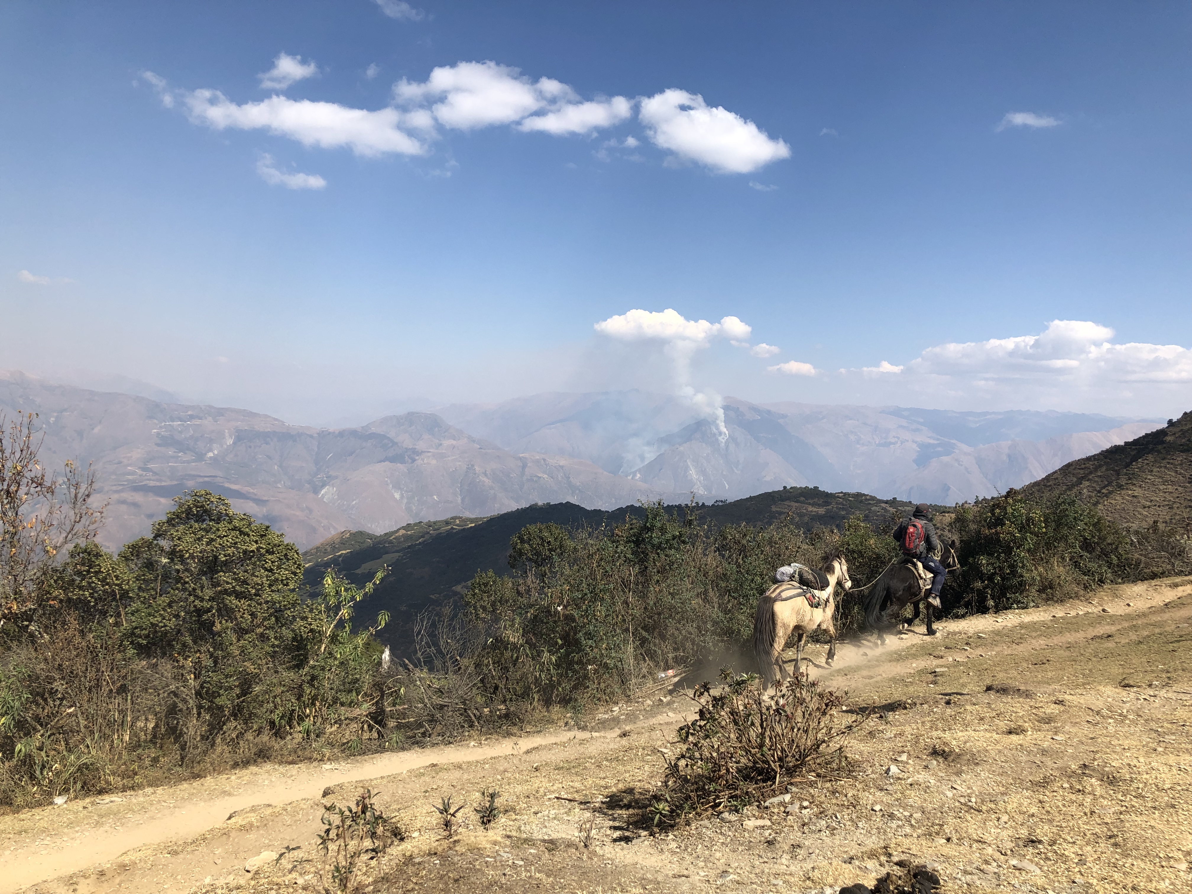
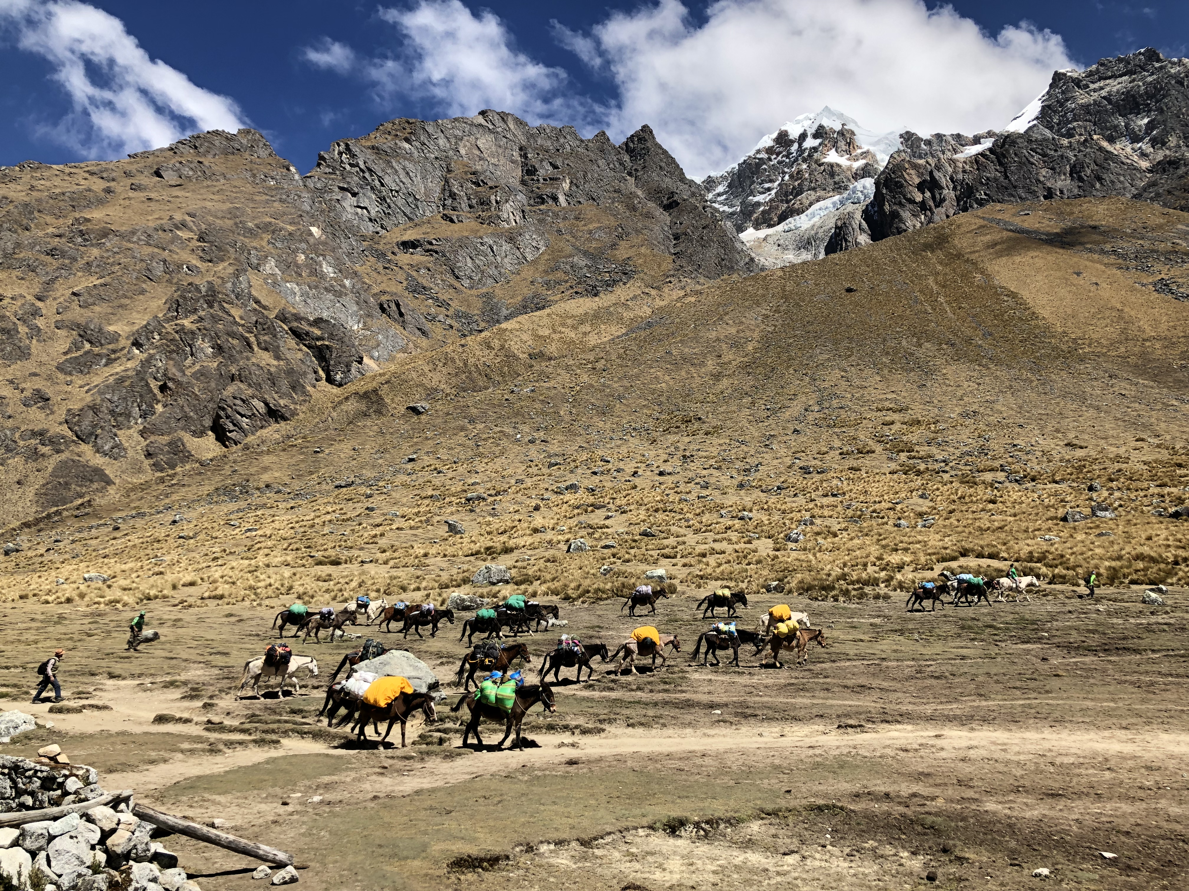
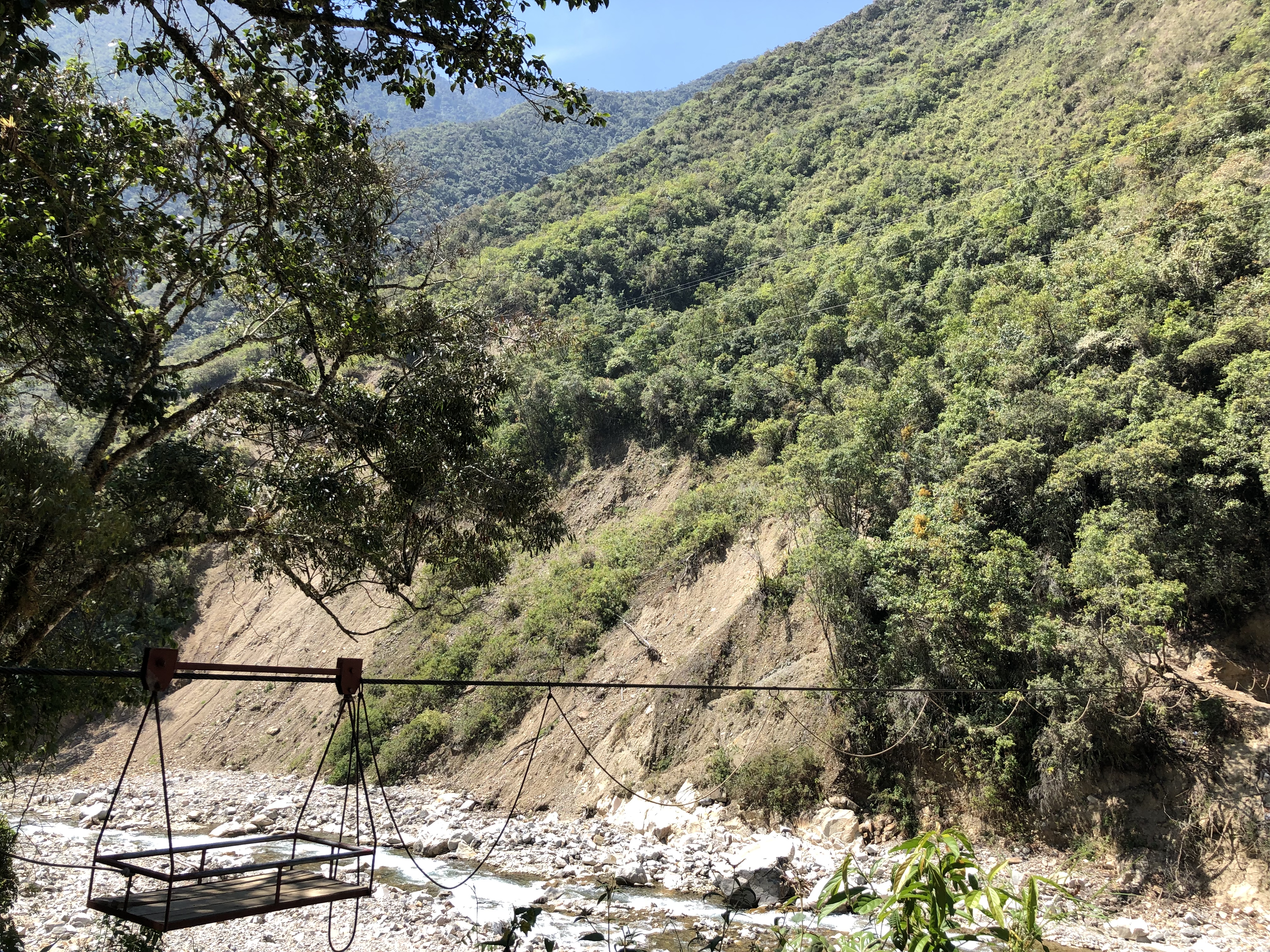
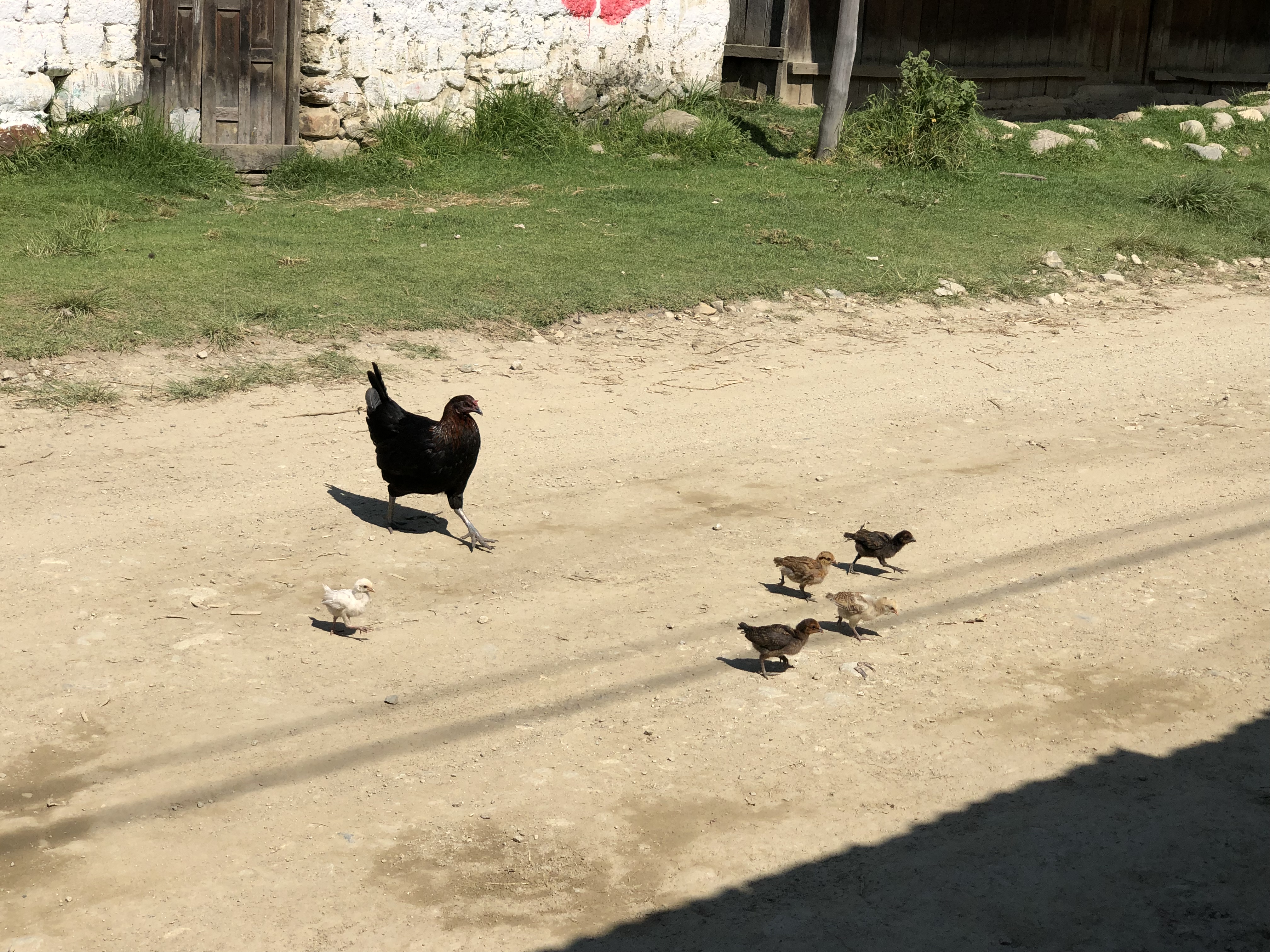
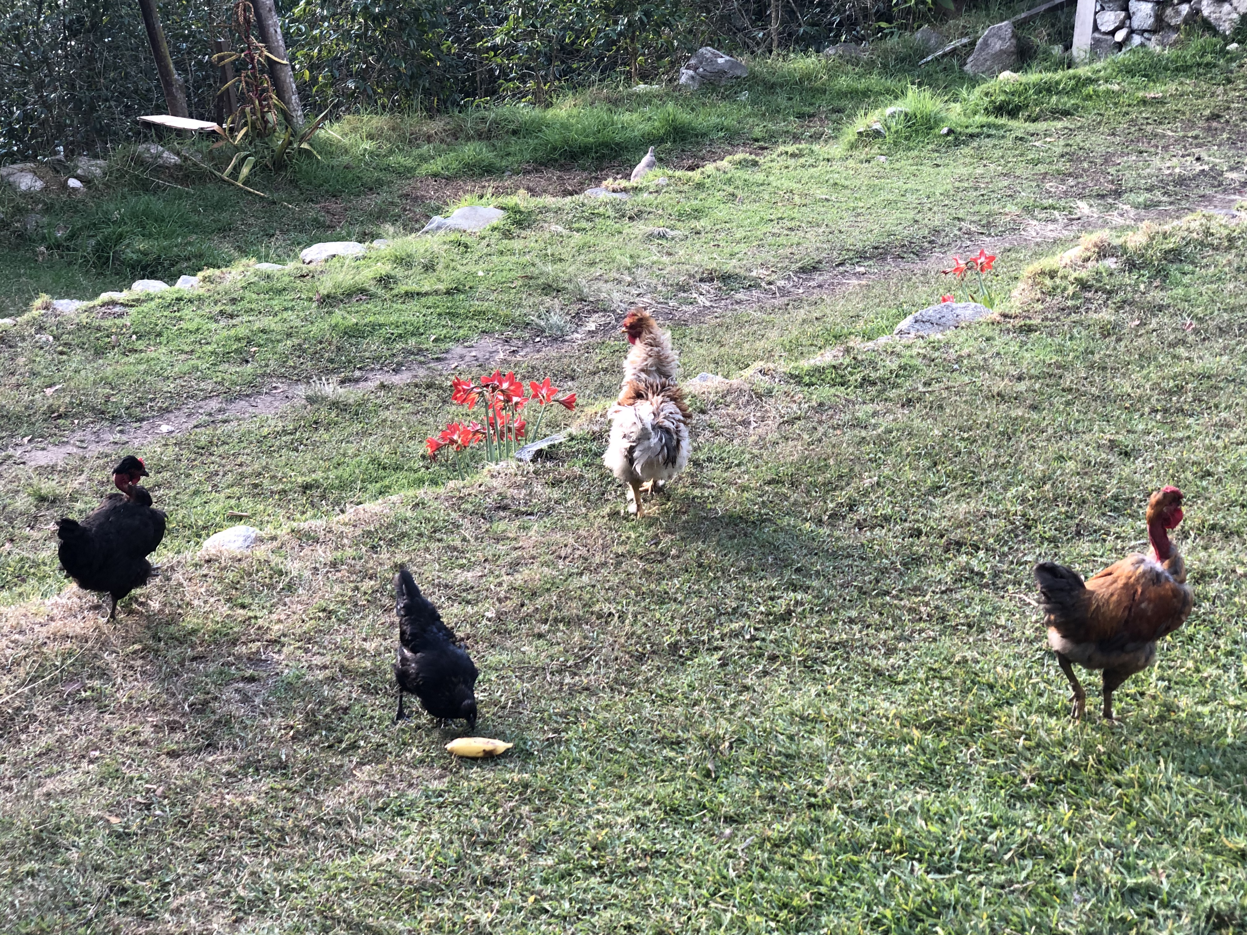
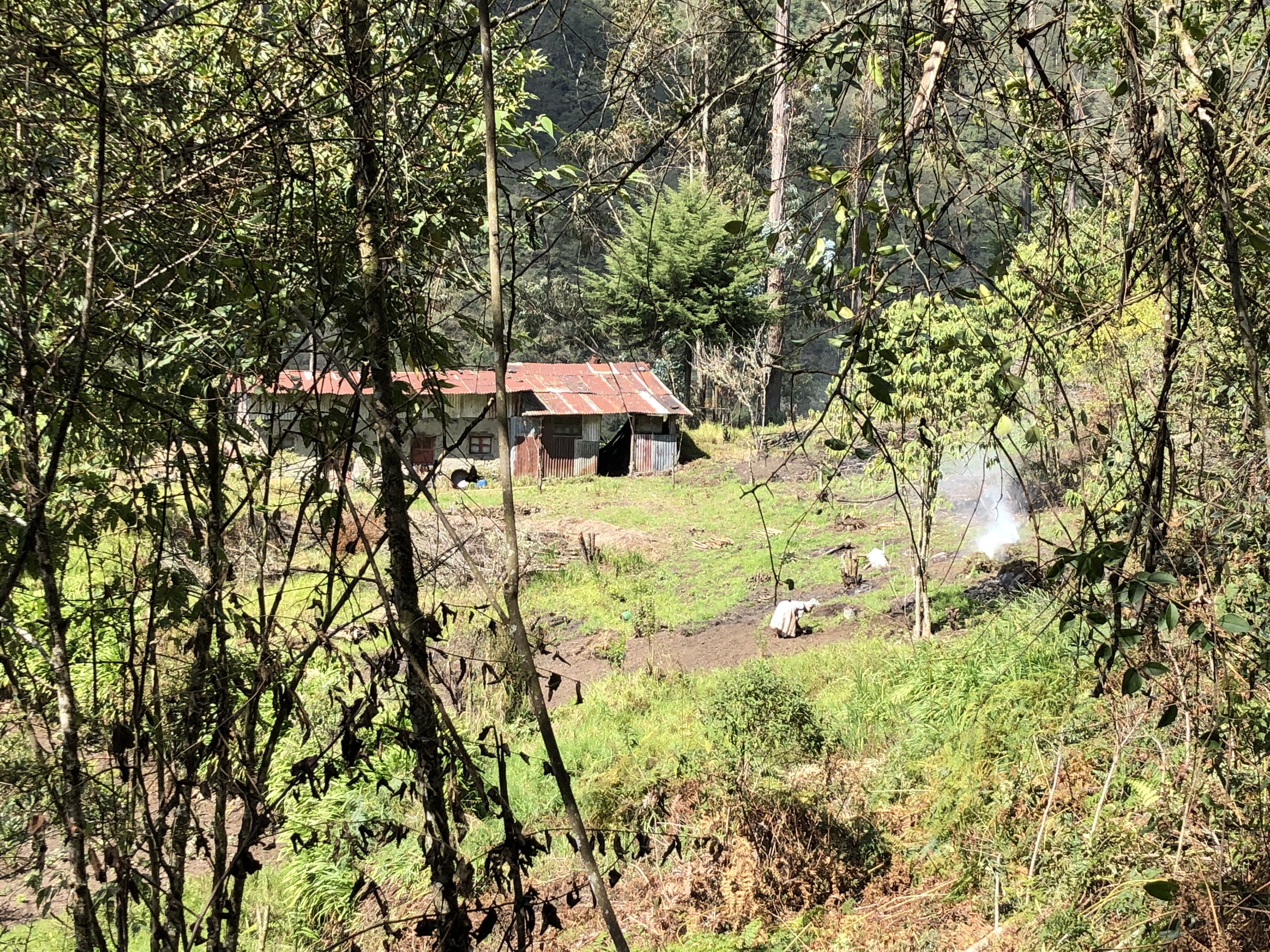
How the locals transport stuff across the river!Still don’t know why they crossed the roadLyle gets much needed help putting up the tentThe campsite chickens steal our bananasThe campsite grew coffee beans and avocados (coffee plants seen in this photo)The next campsite dog
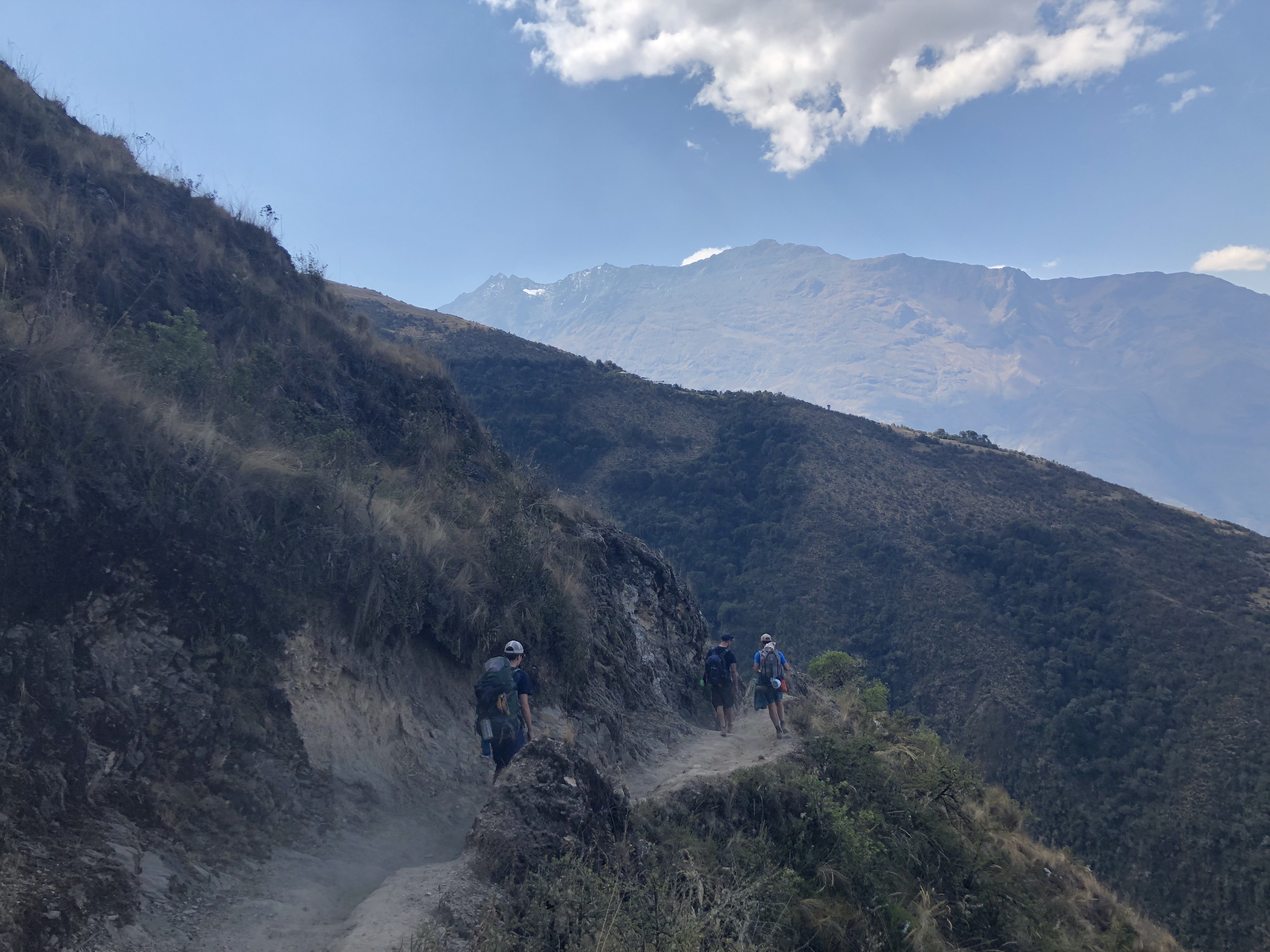
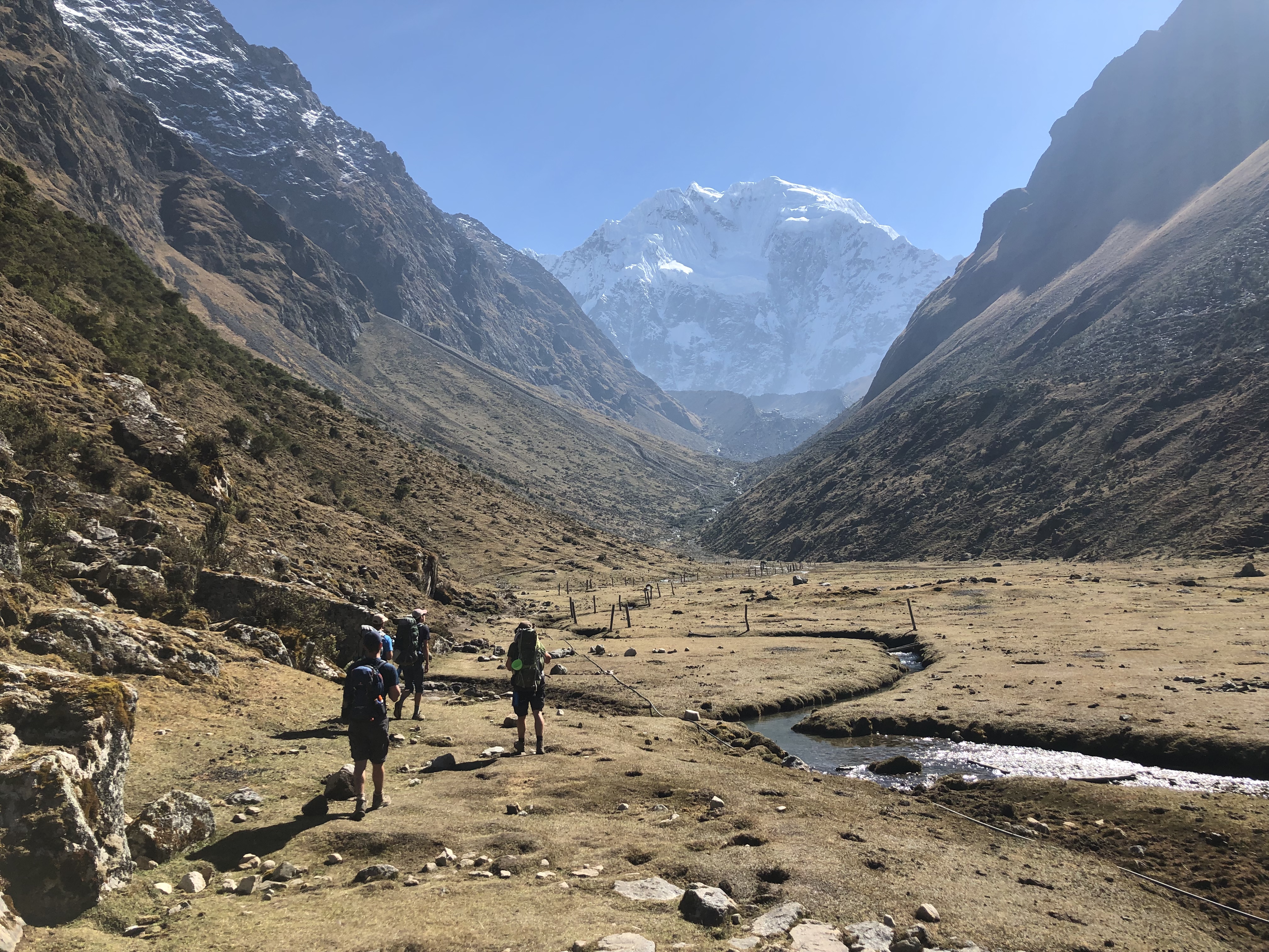
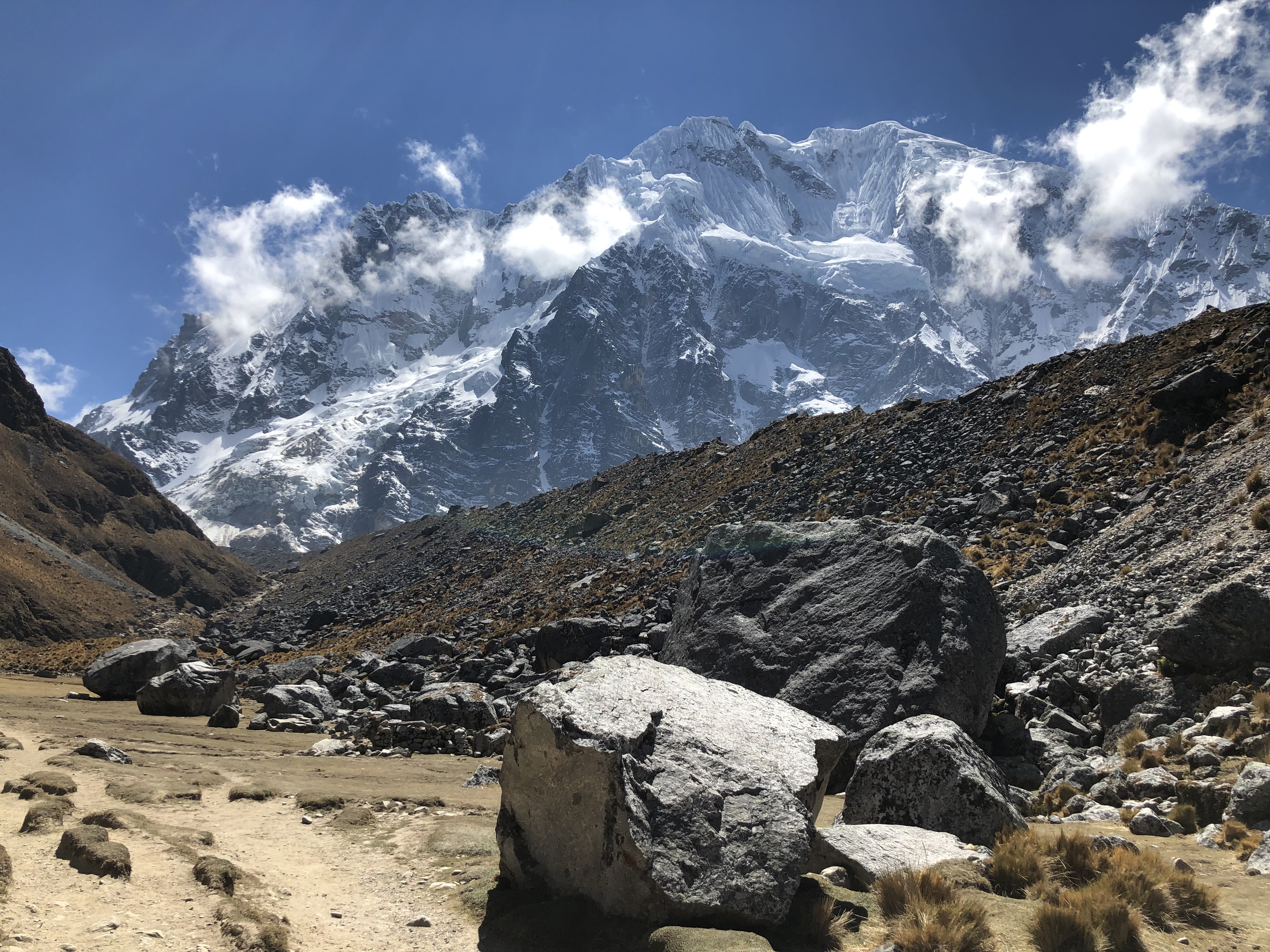
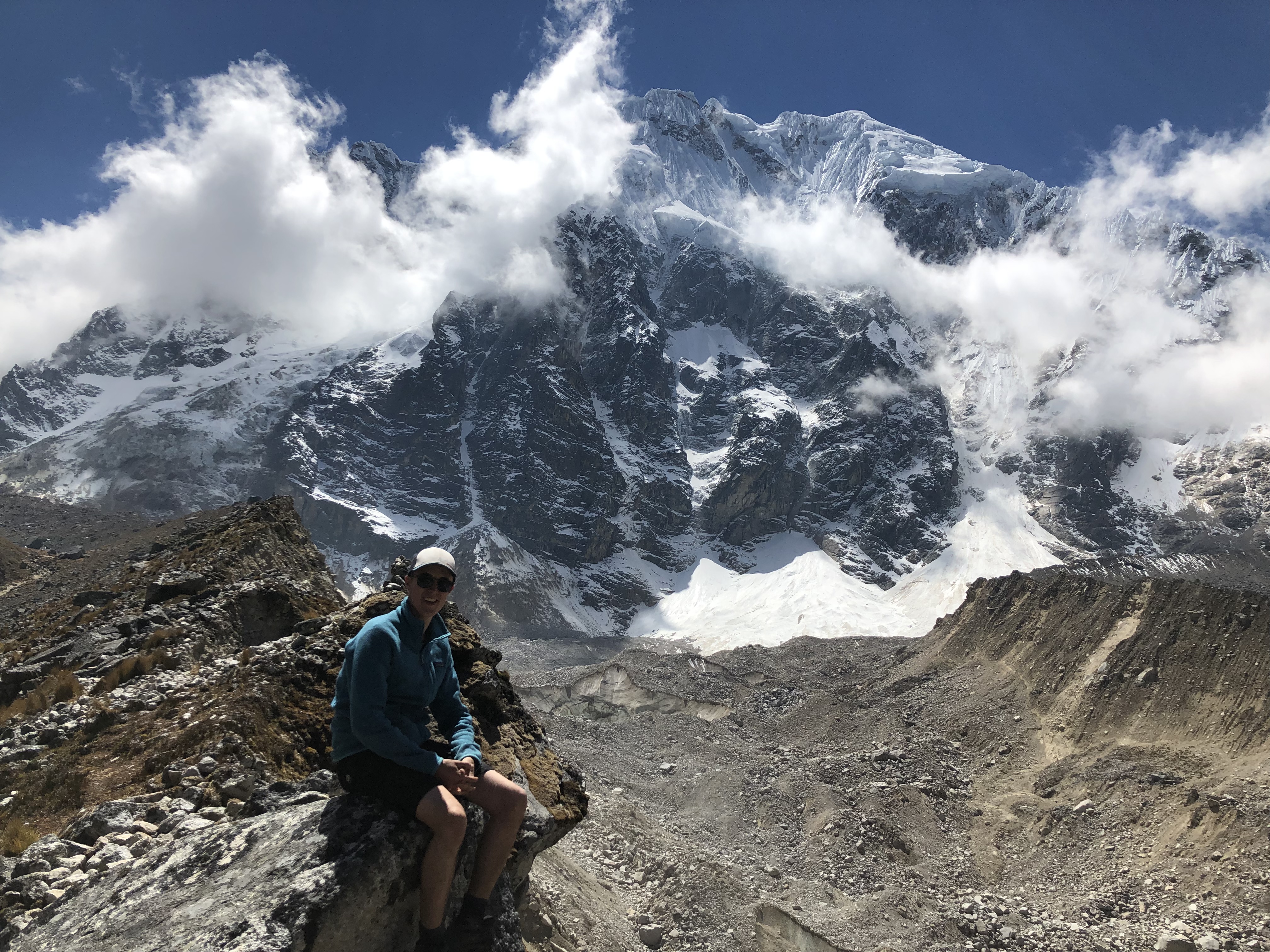
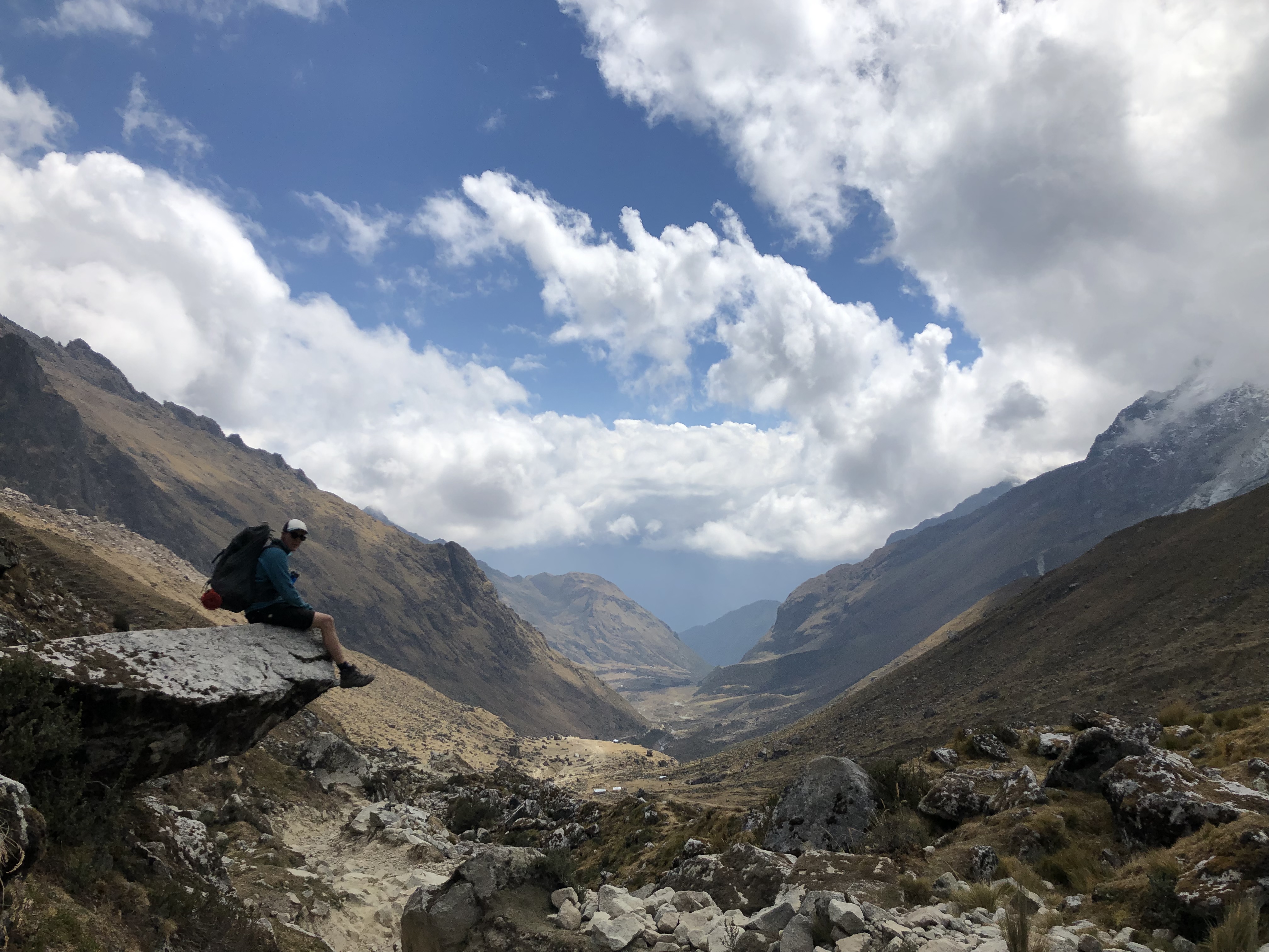
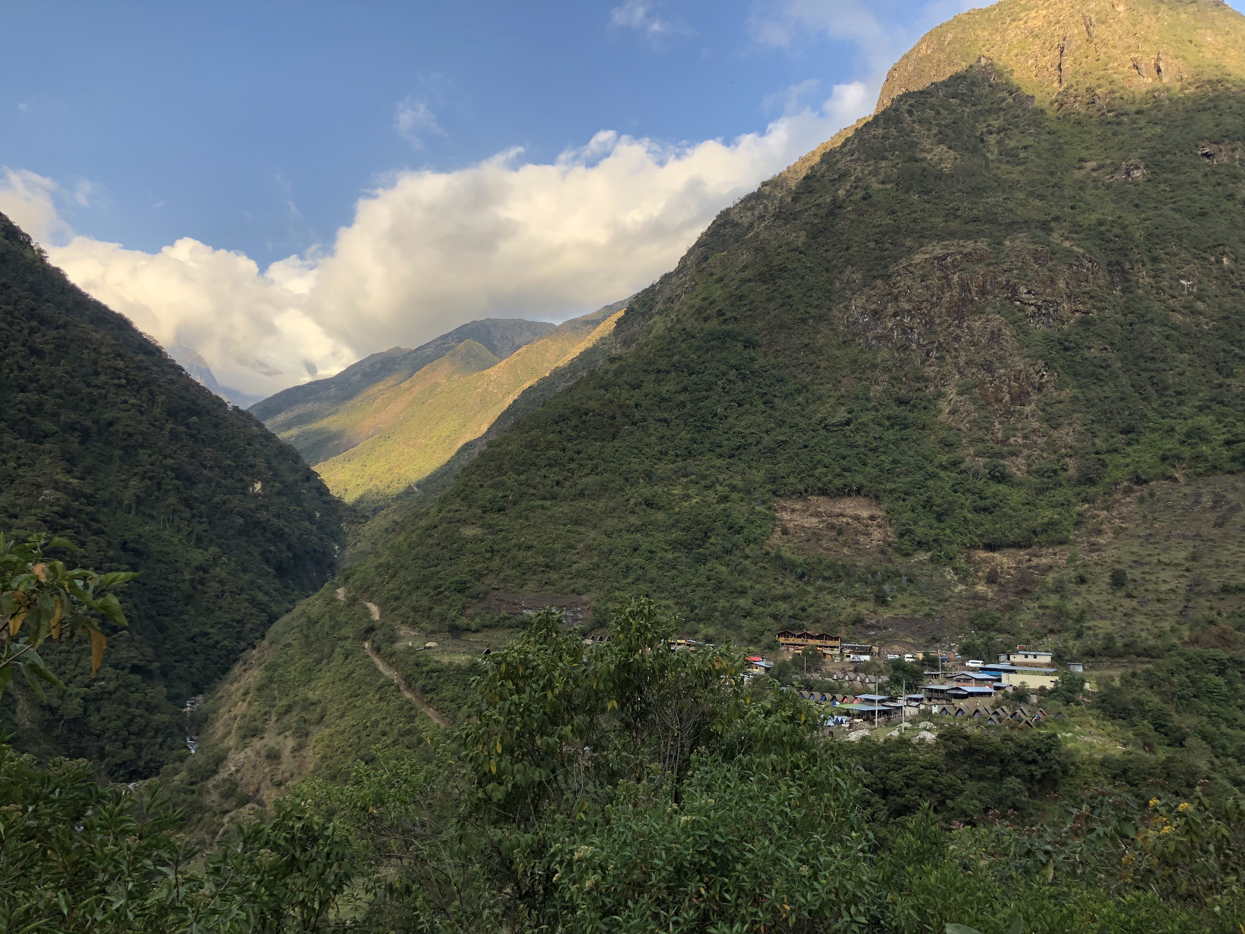
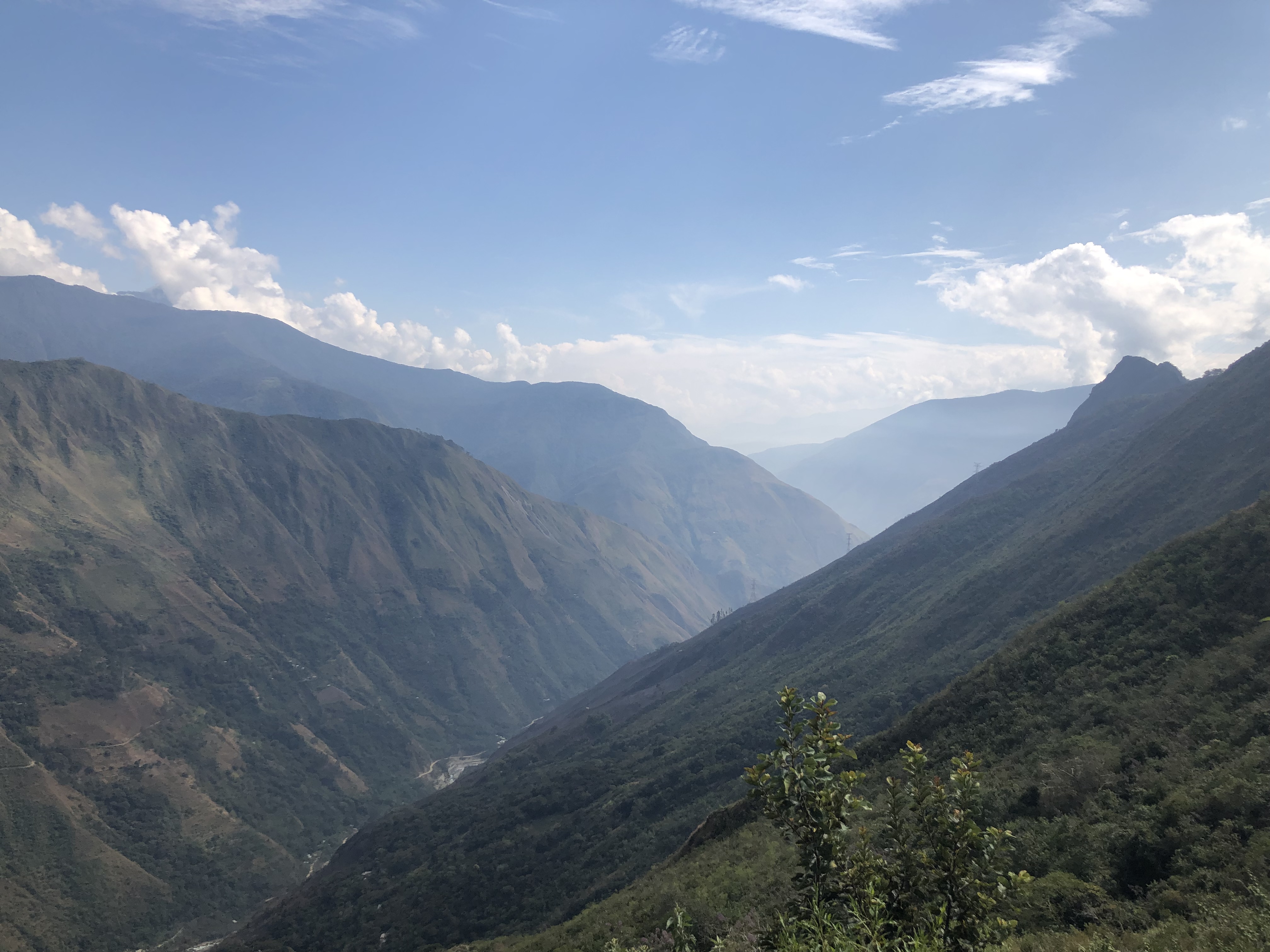
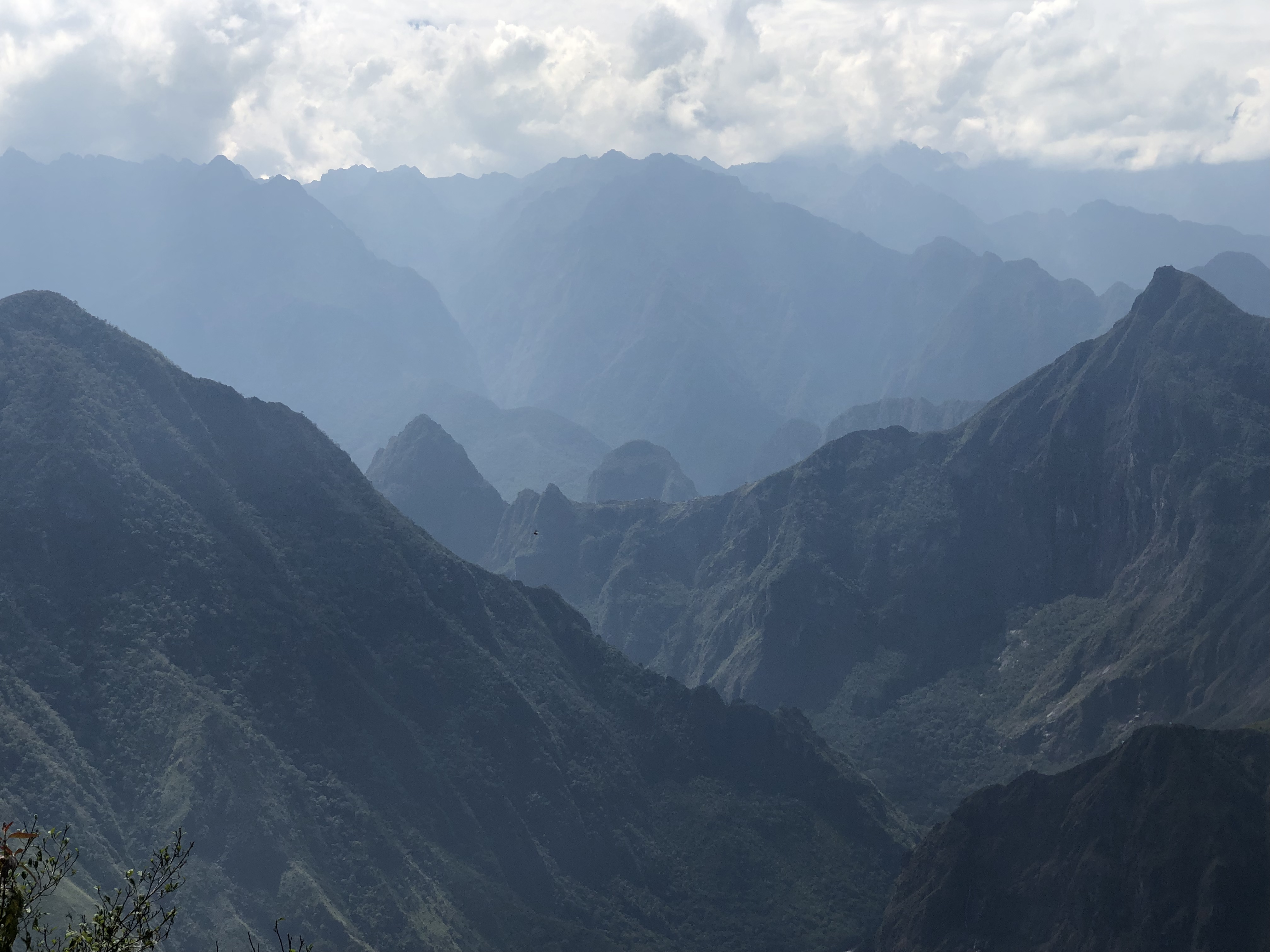
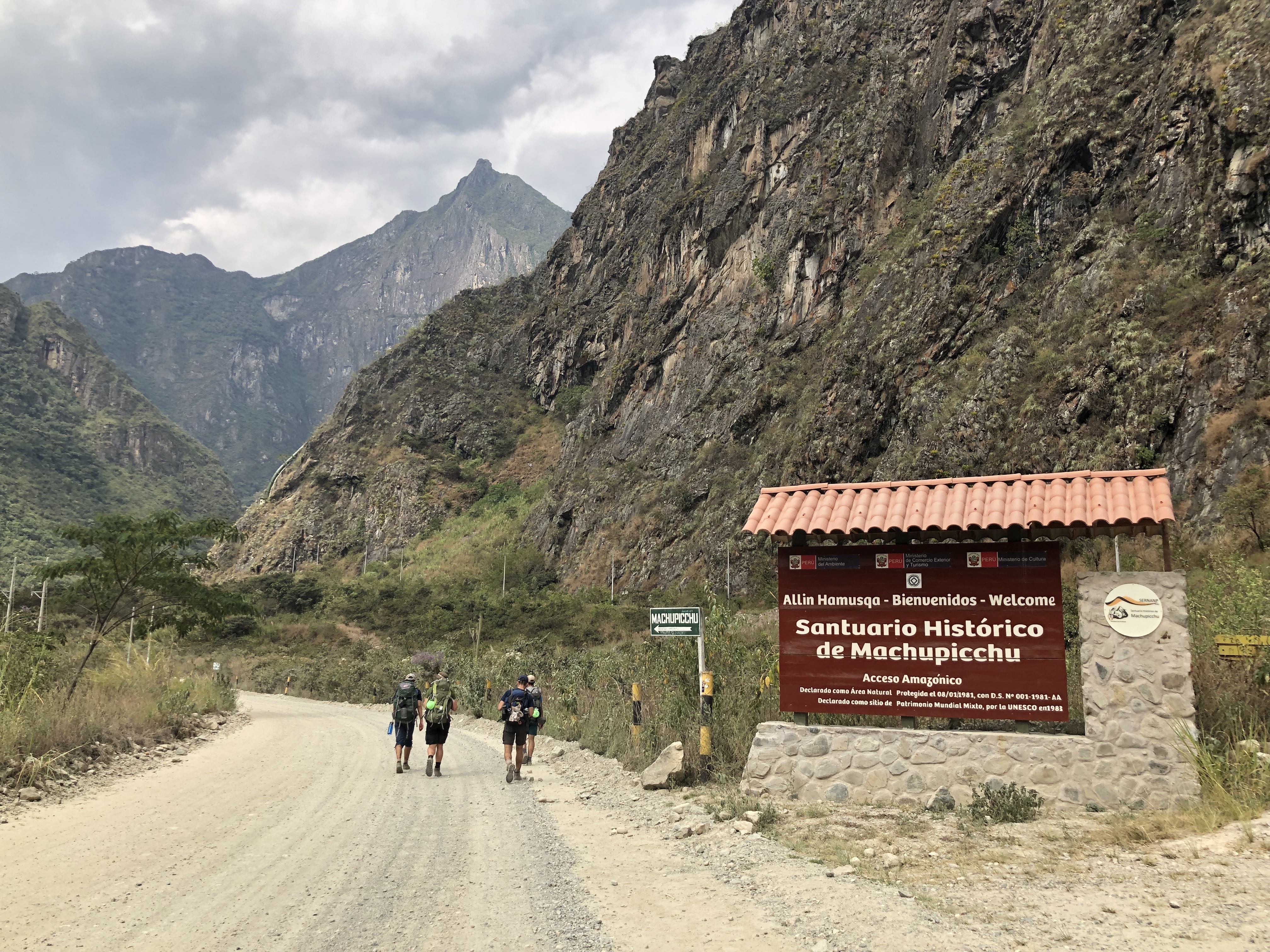
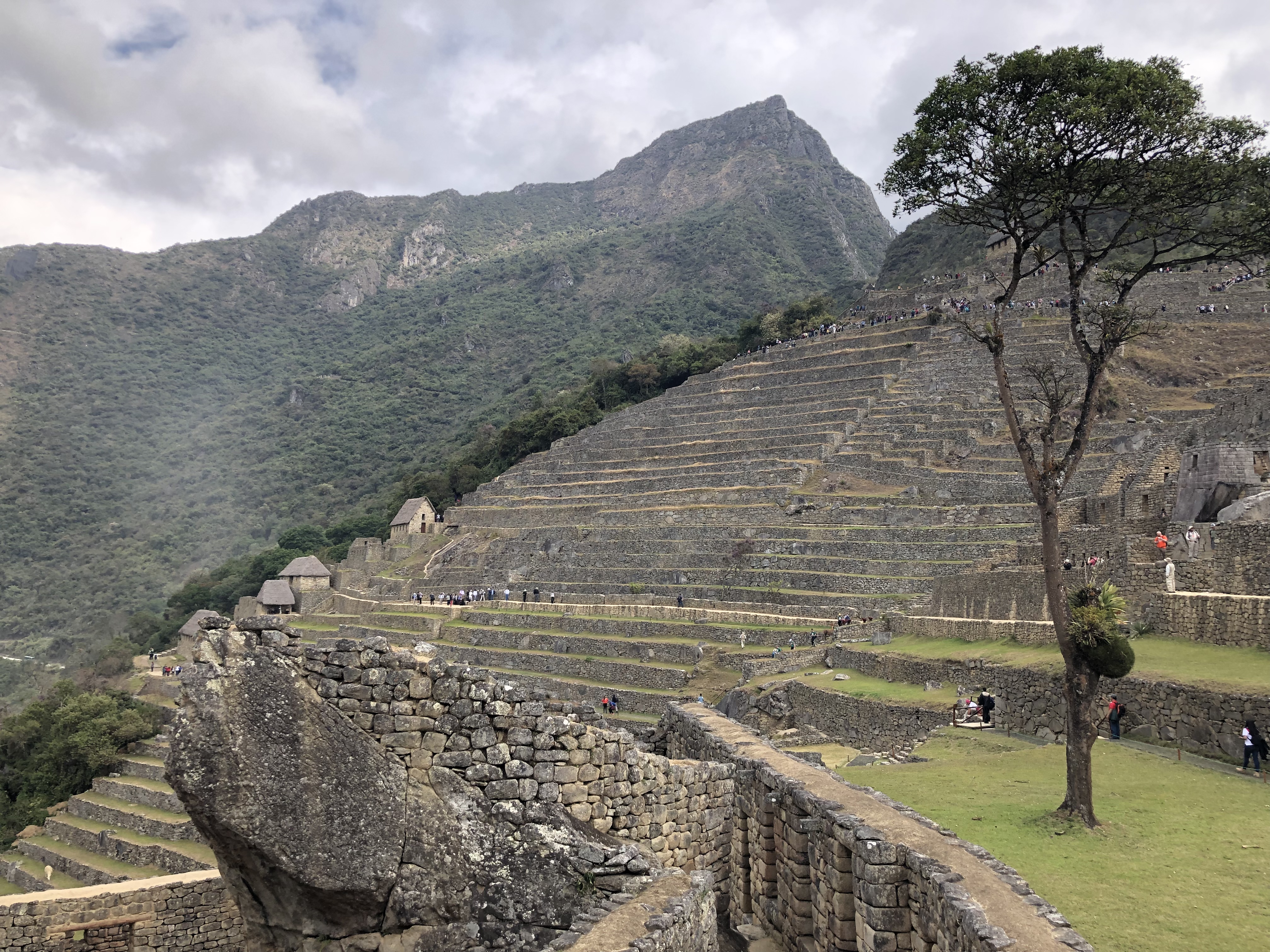
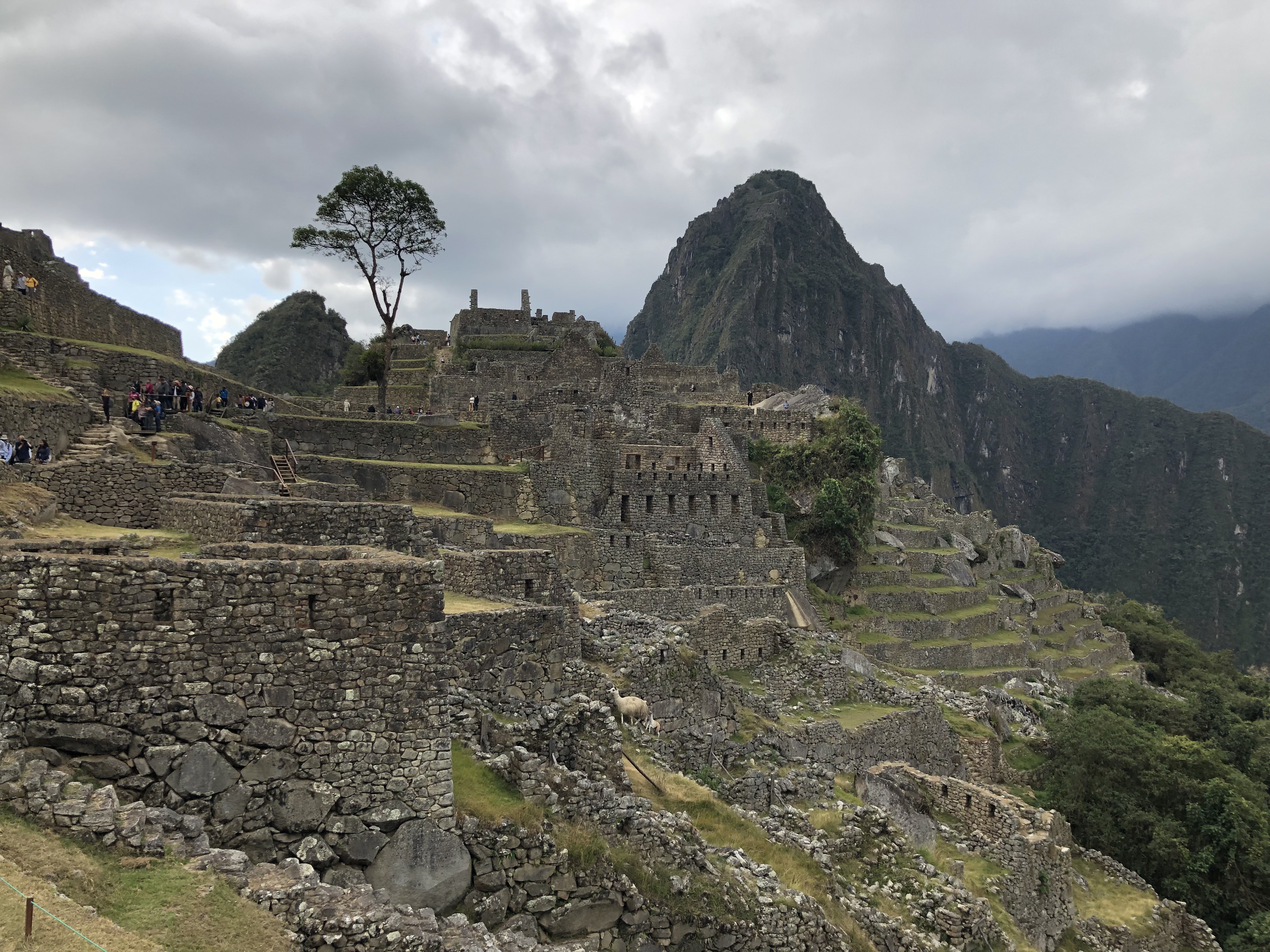
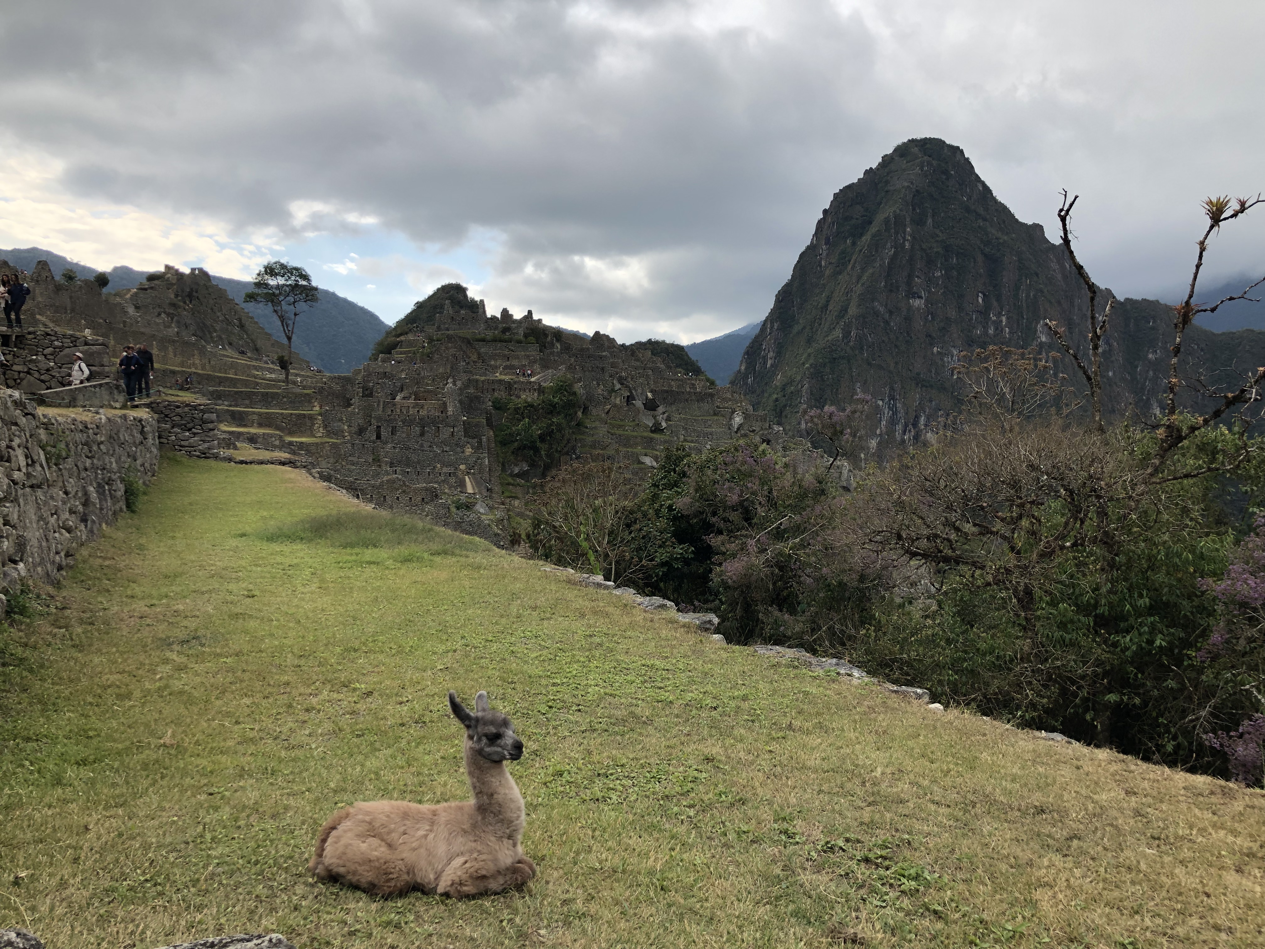
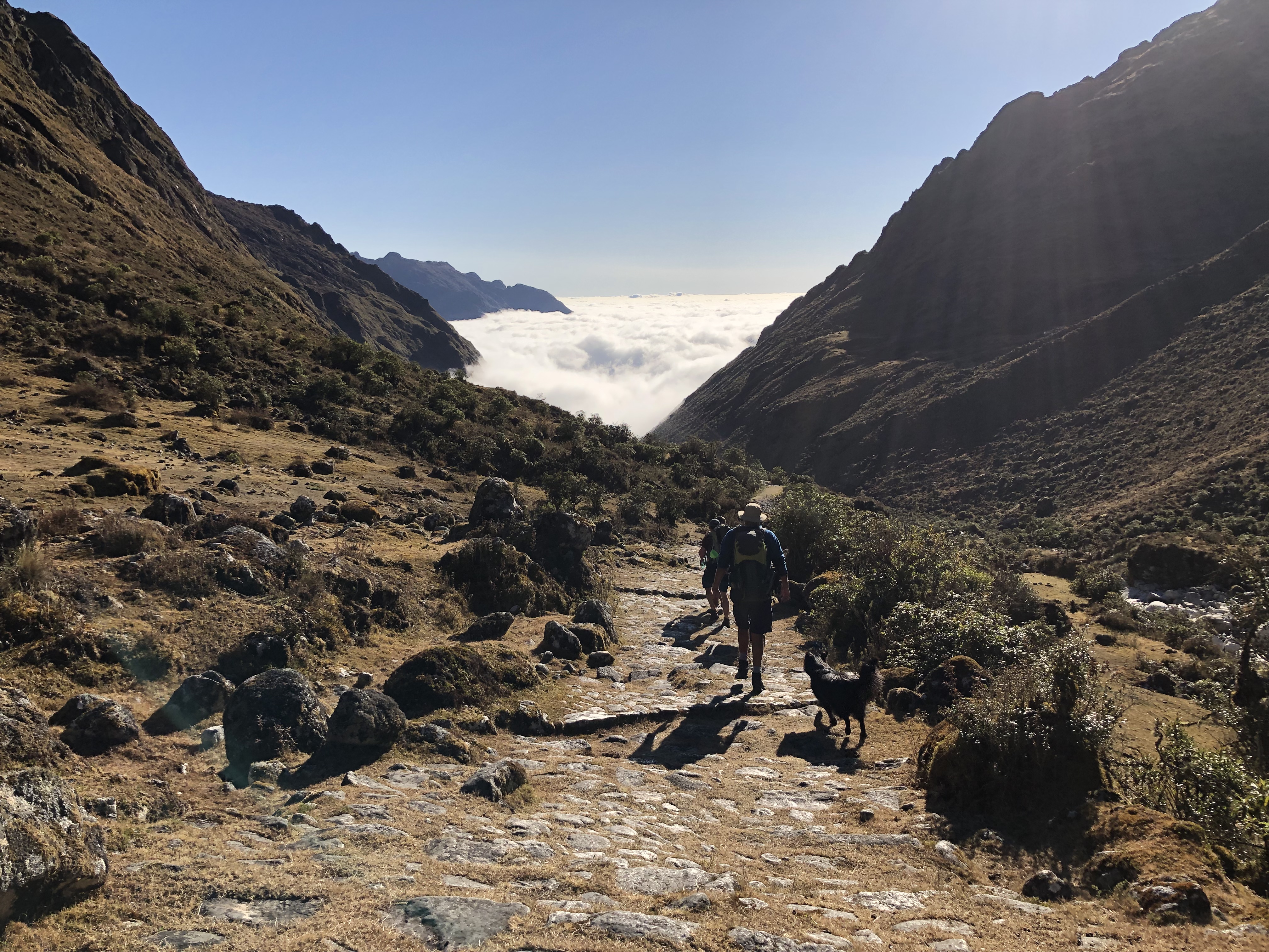
The next day we took a slightly alternate route to the traditional Salkantay Trek, adding in a 900m climb to see the llactapata ruins, a distant view of Machu Picchu and the surrounding mountains.
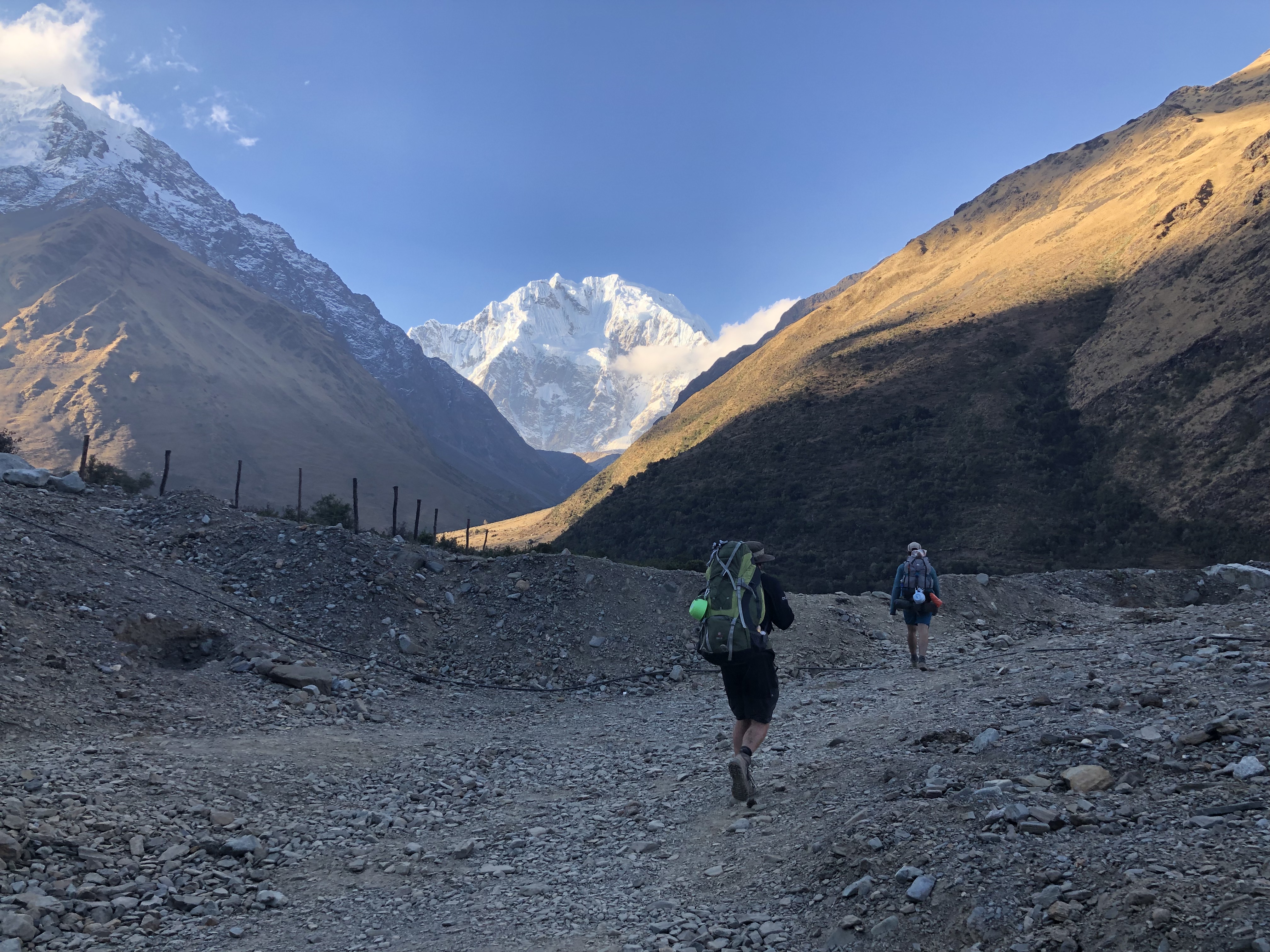
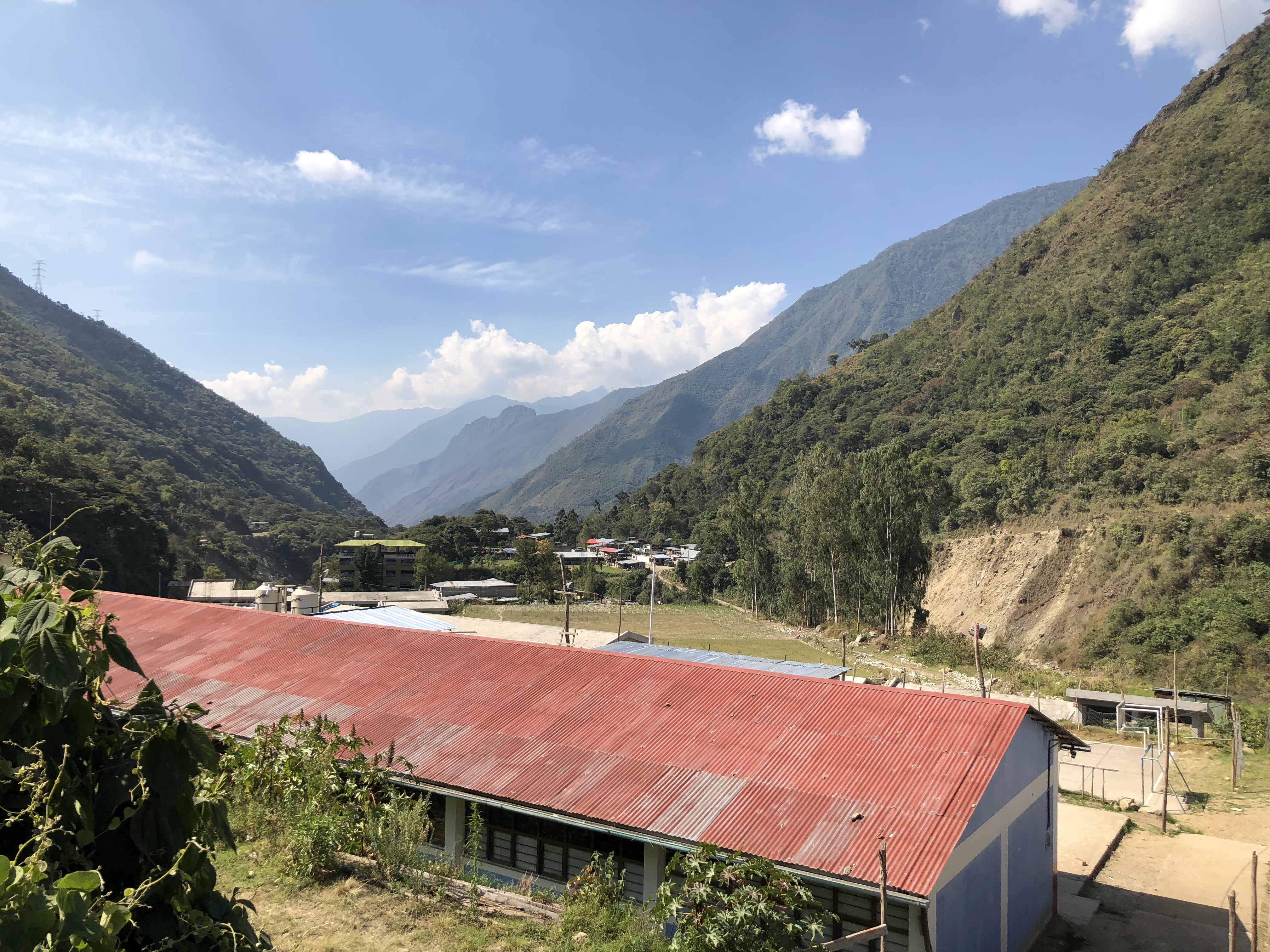
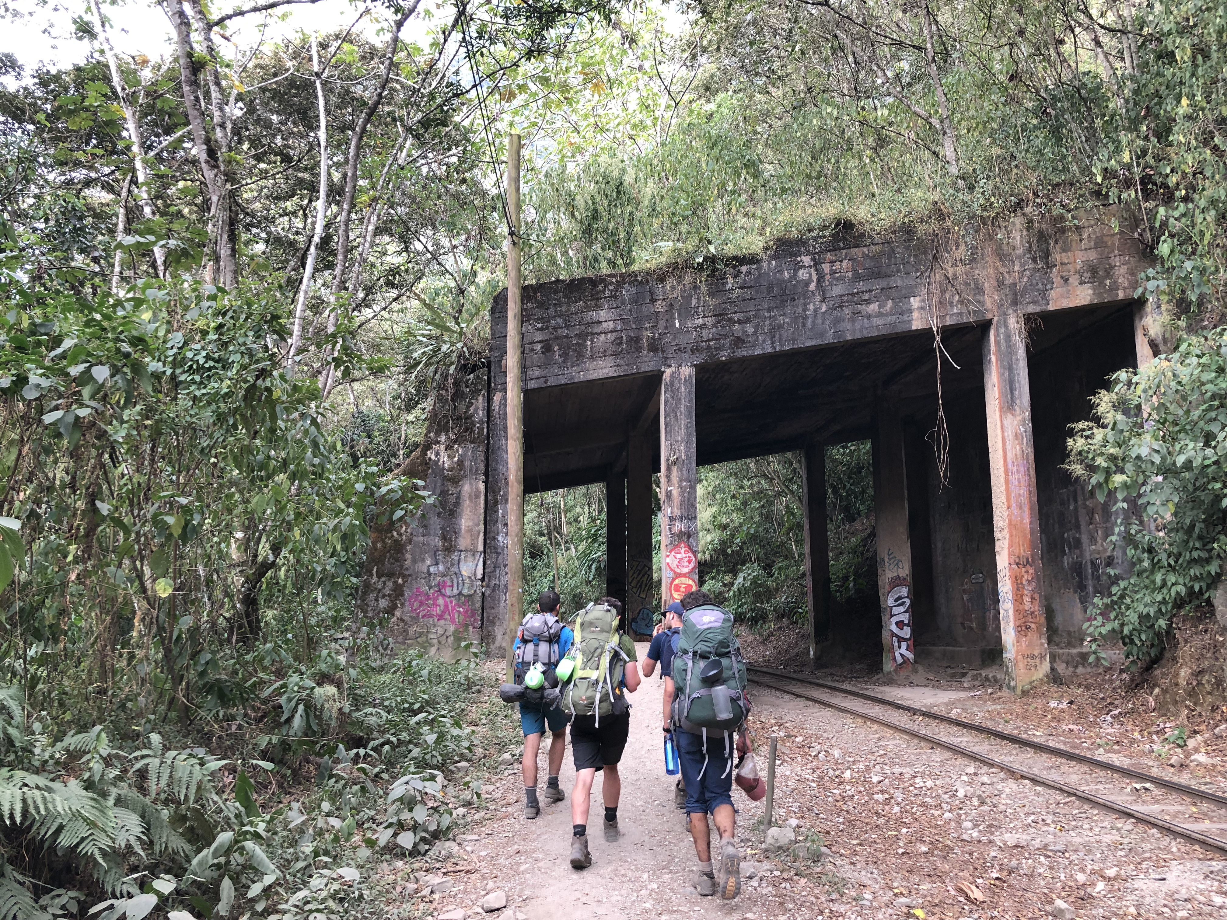
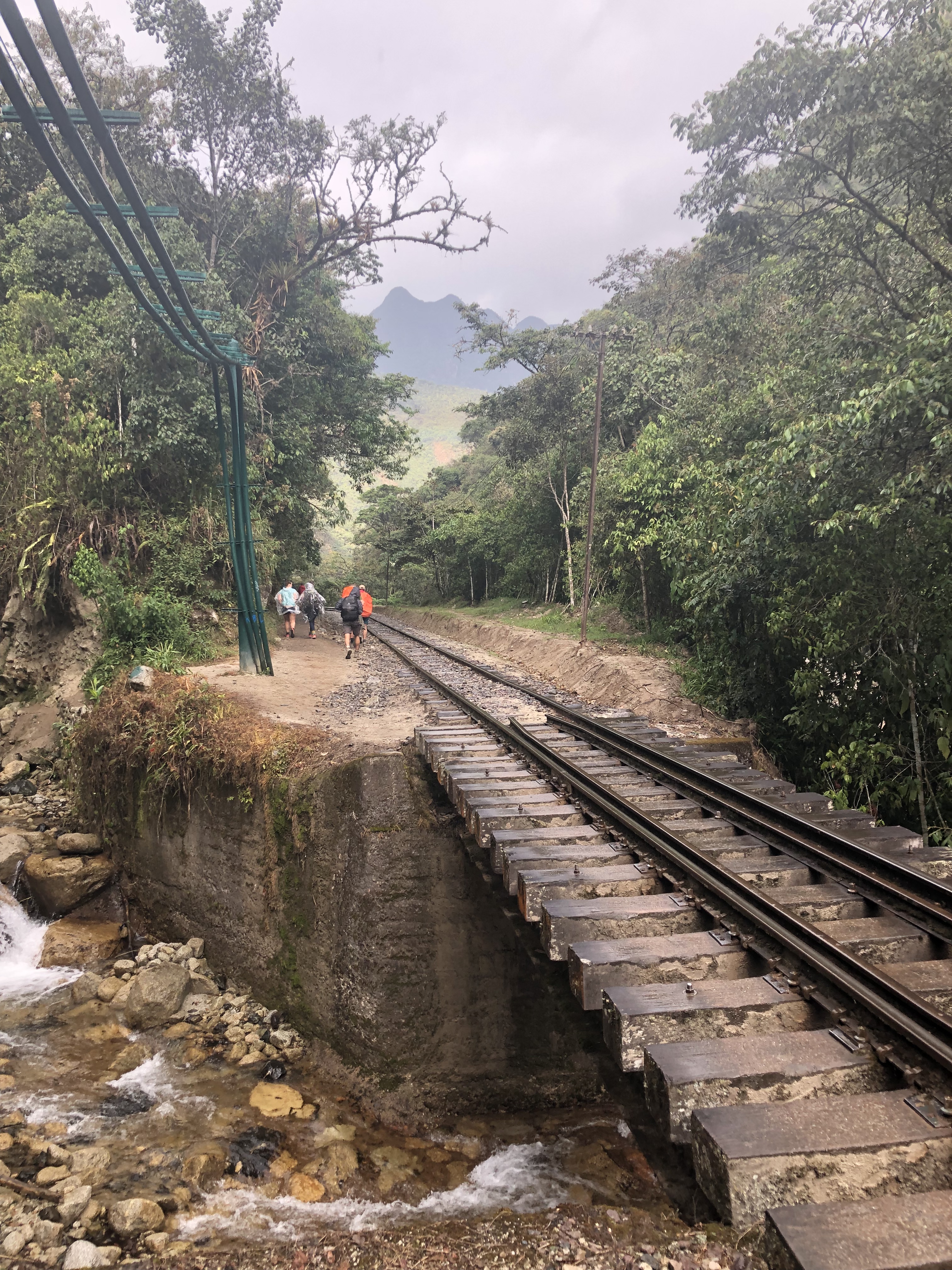
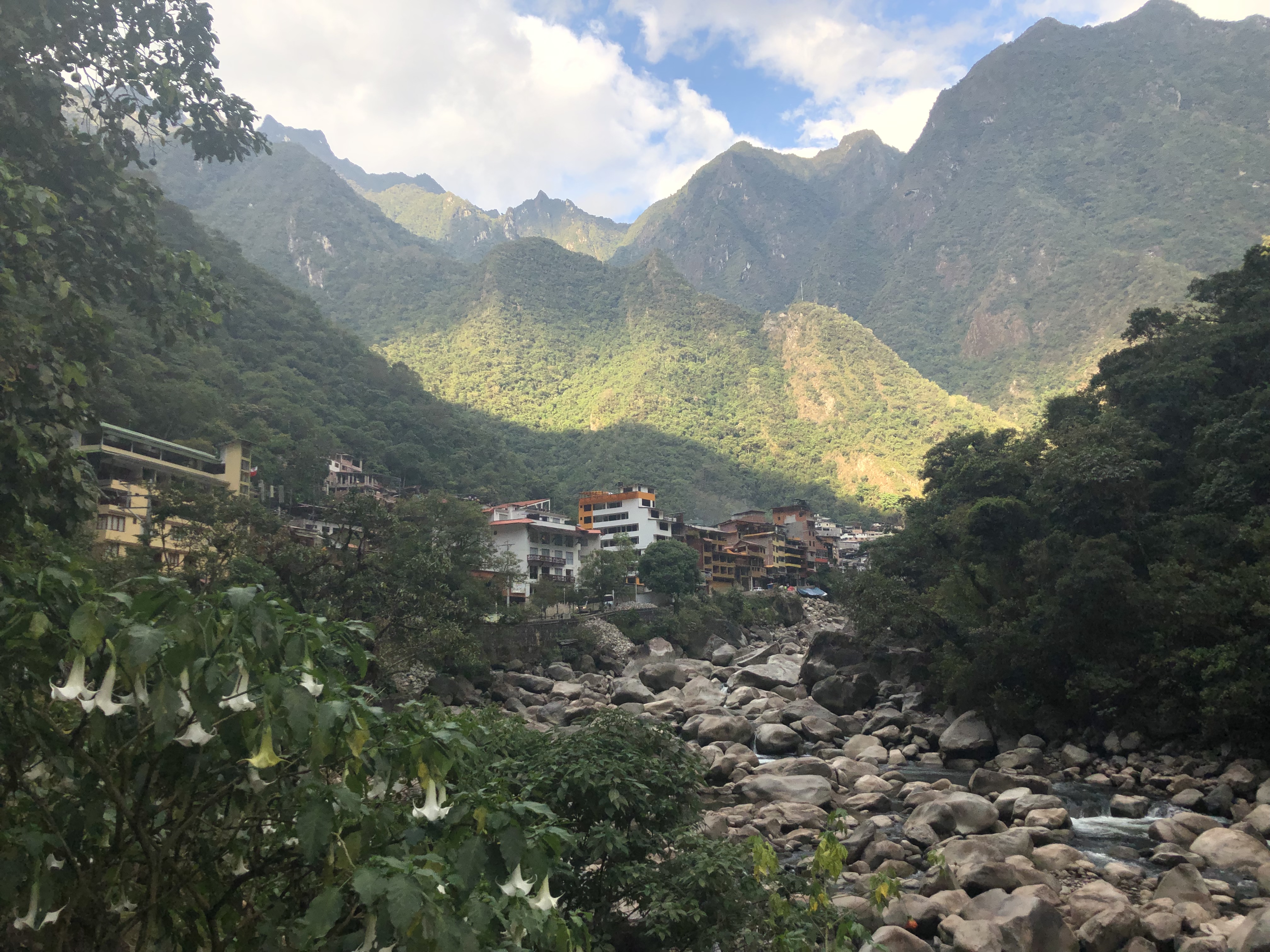
4 days, 125,822 steps, 10 million bug bites and many packets of instant noodles after departing Mollepata, we arrived at Aguas Caliente. (the closest town to Machu Picchu)
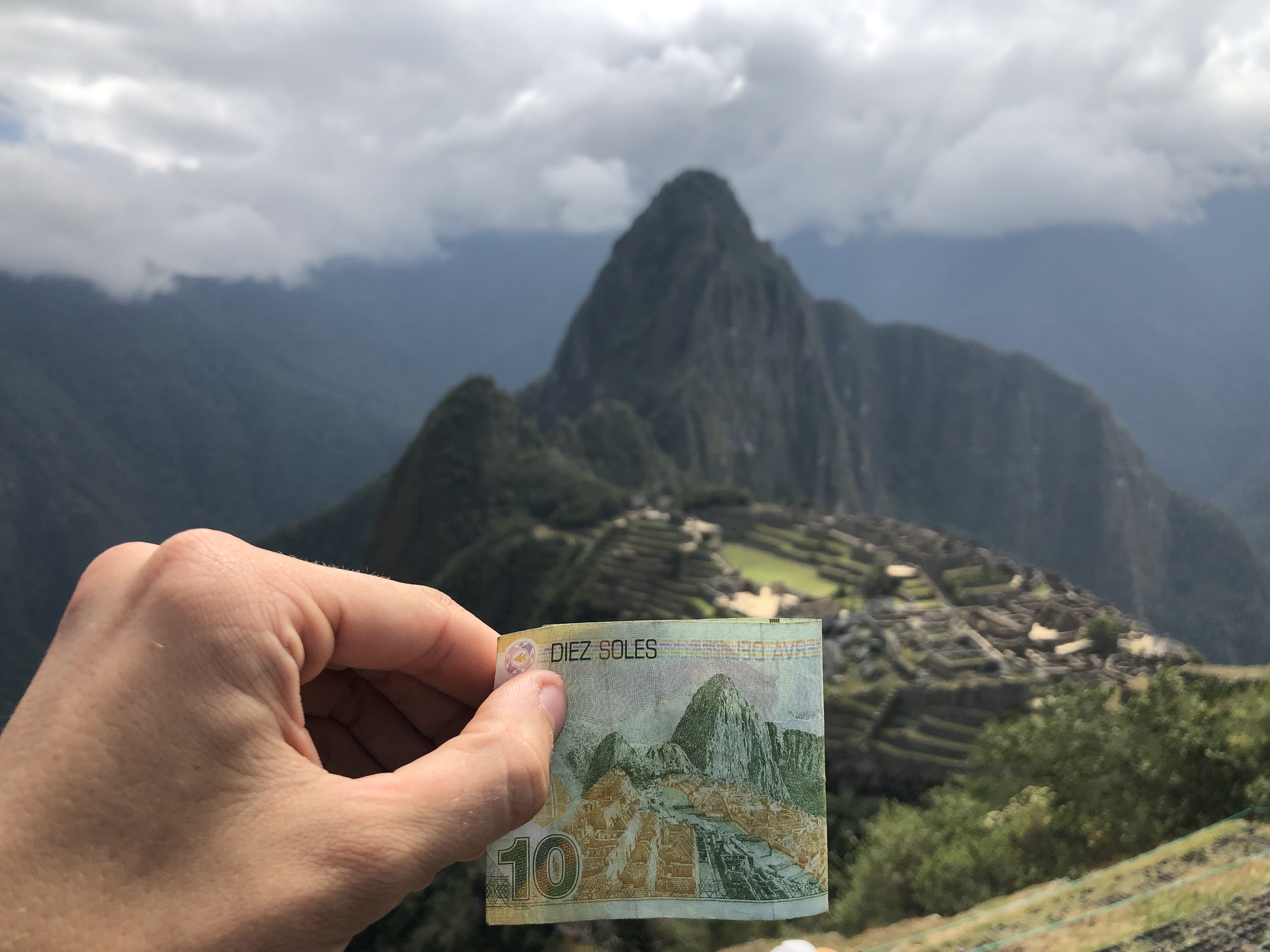
A distant view of Machu PicchuAguas Caliente
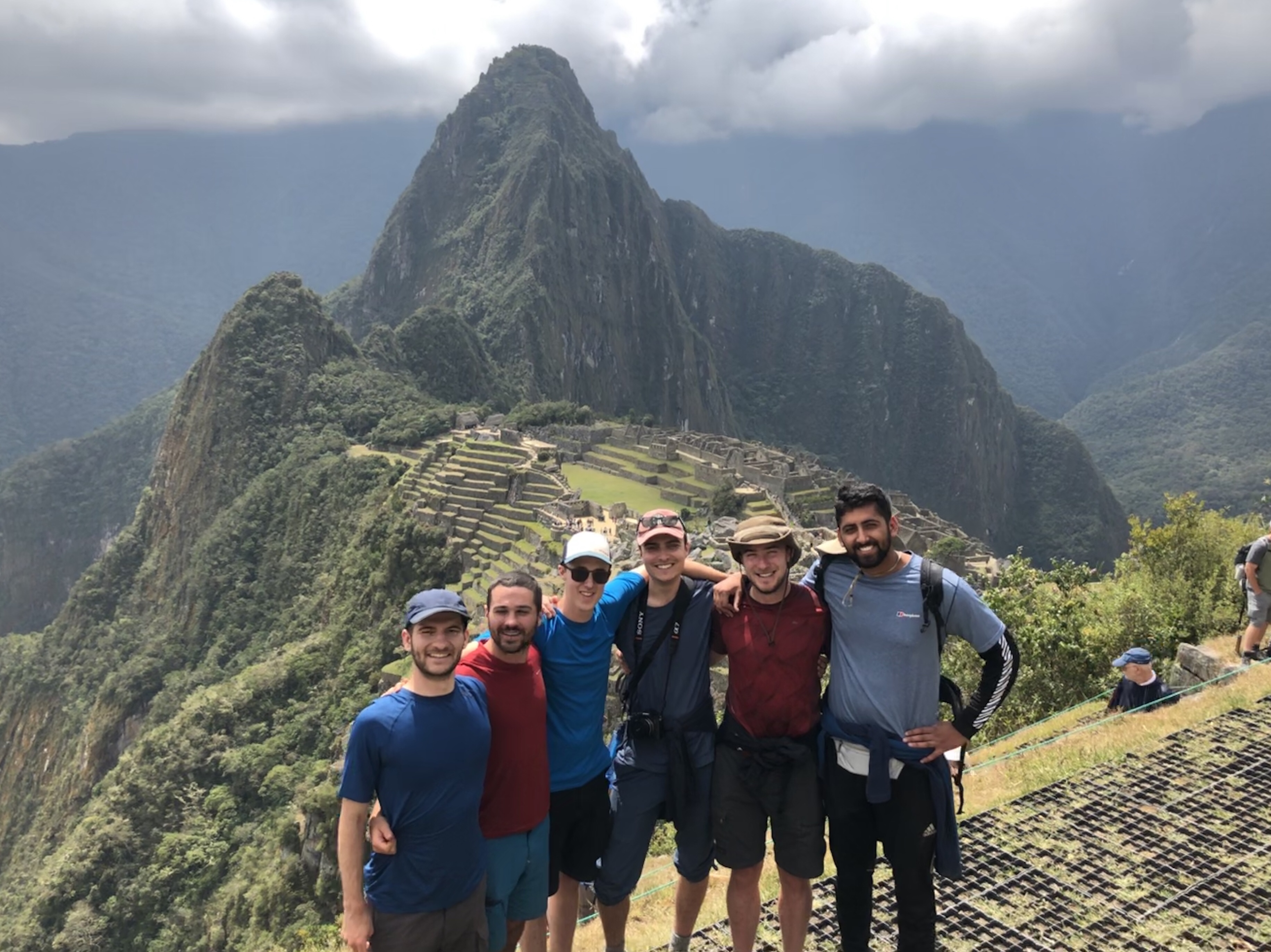
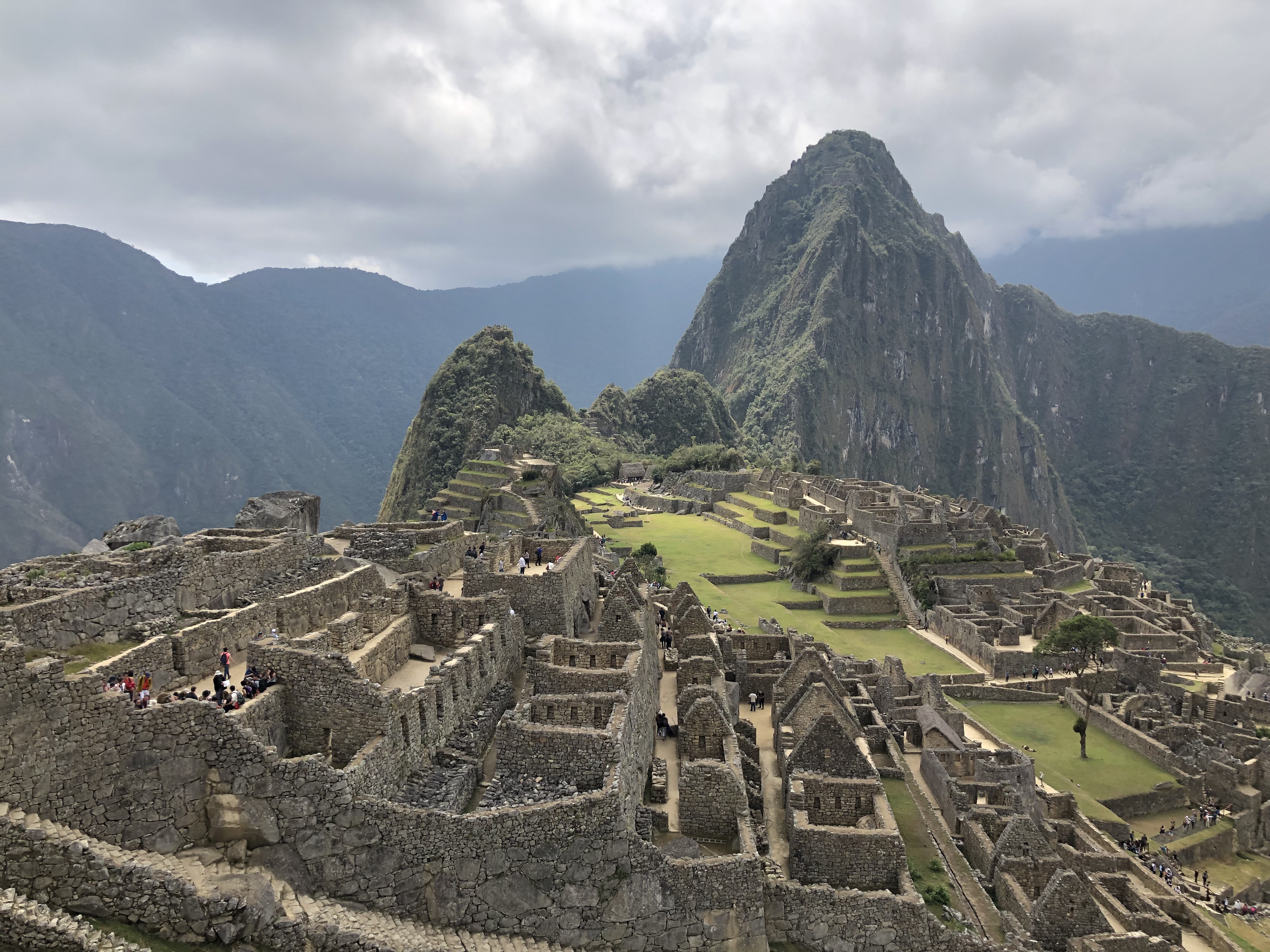
The next day we climbed up to Machu Picchu and explored, before returning to Cusco.
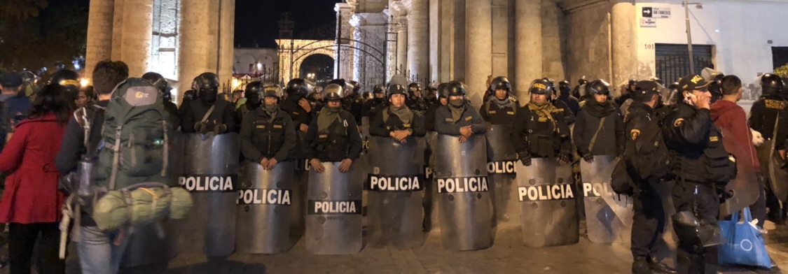
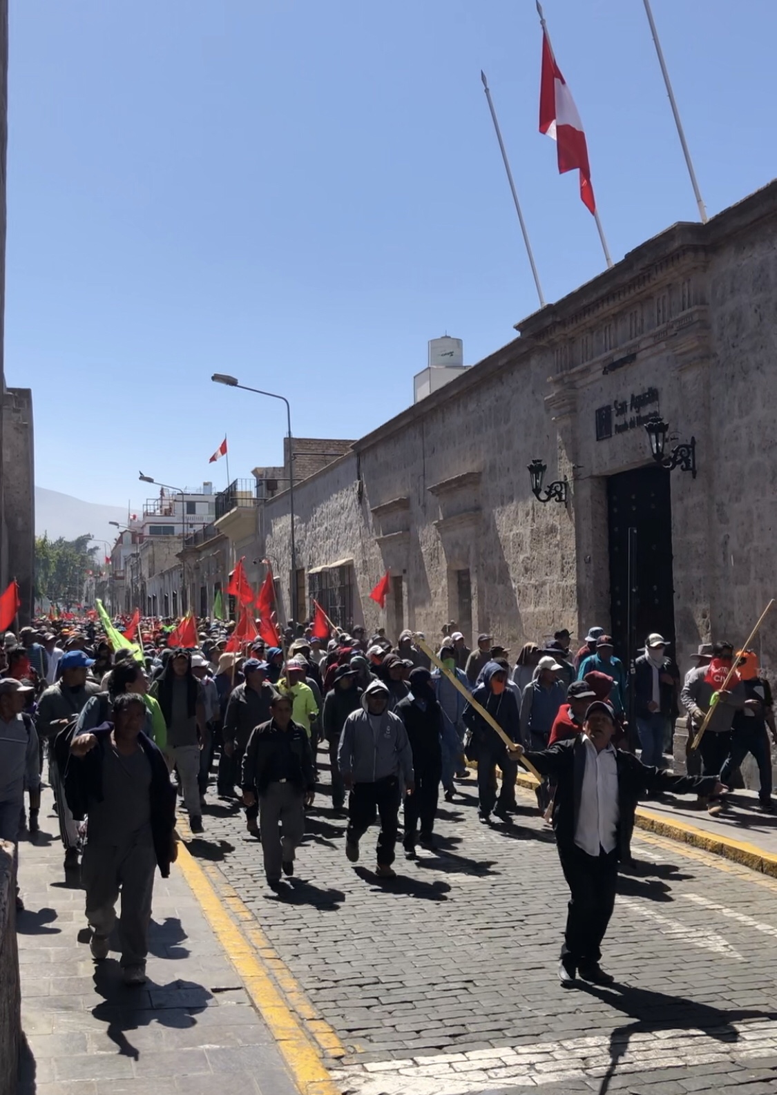
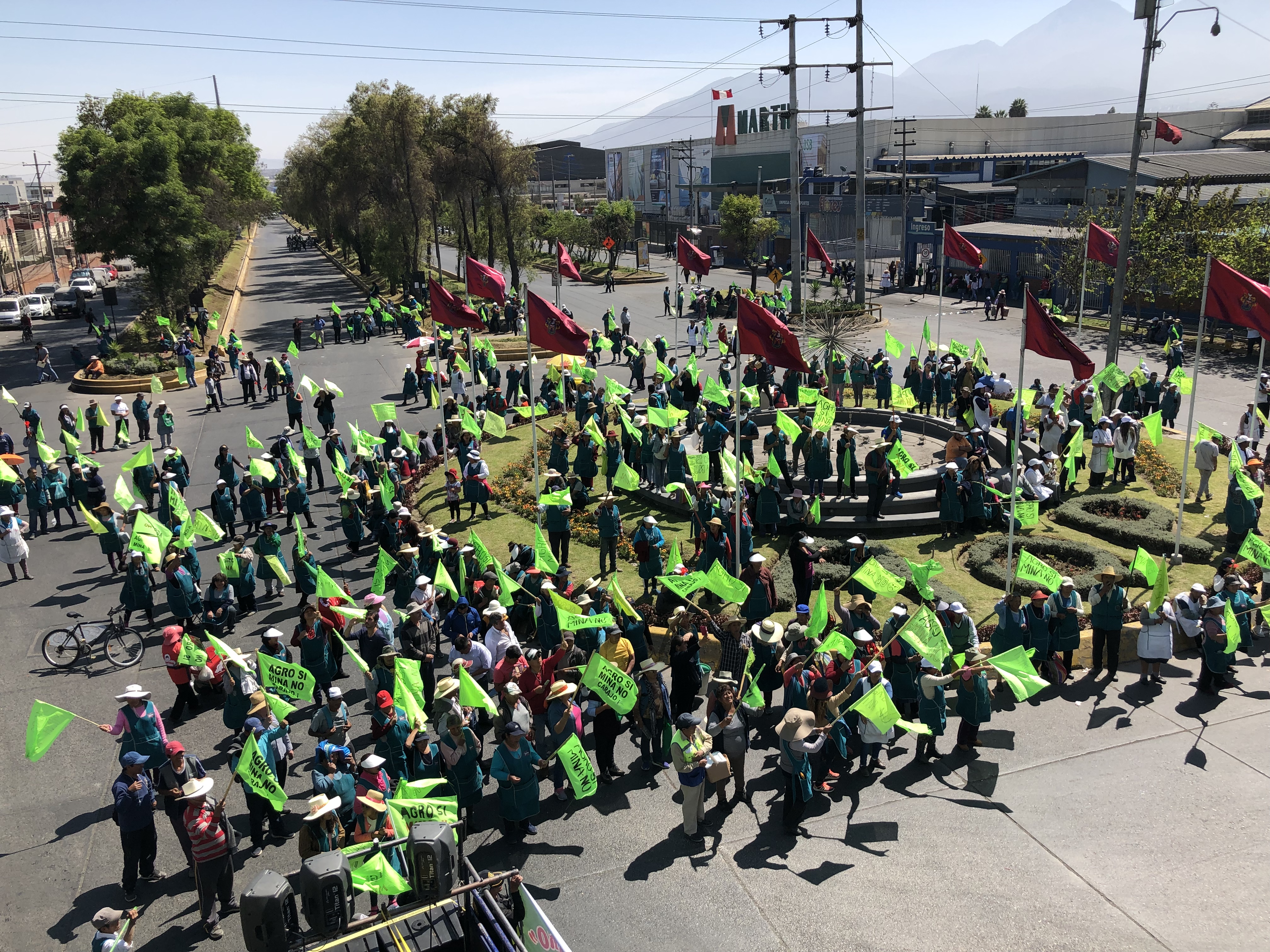
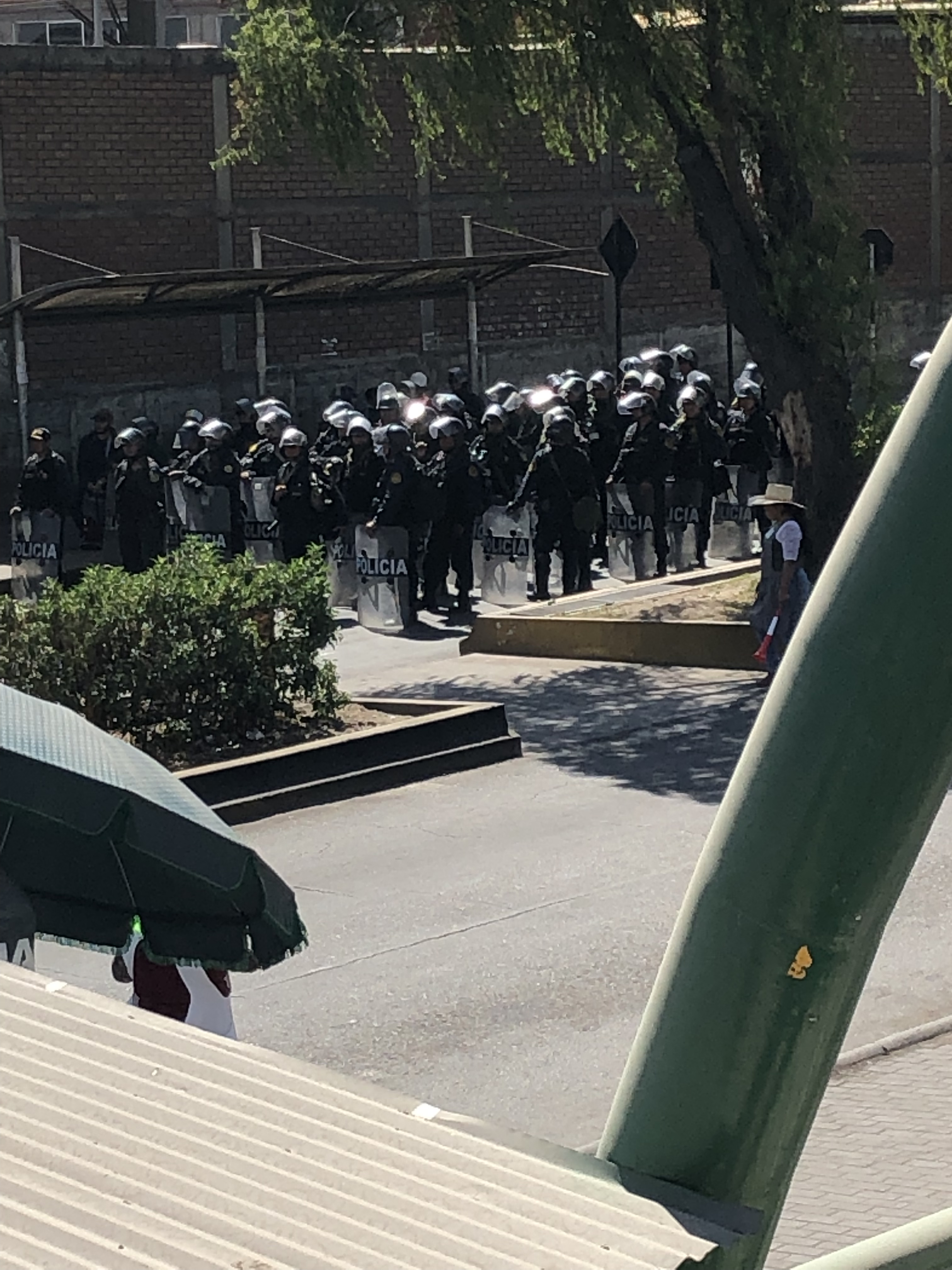
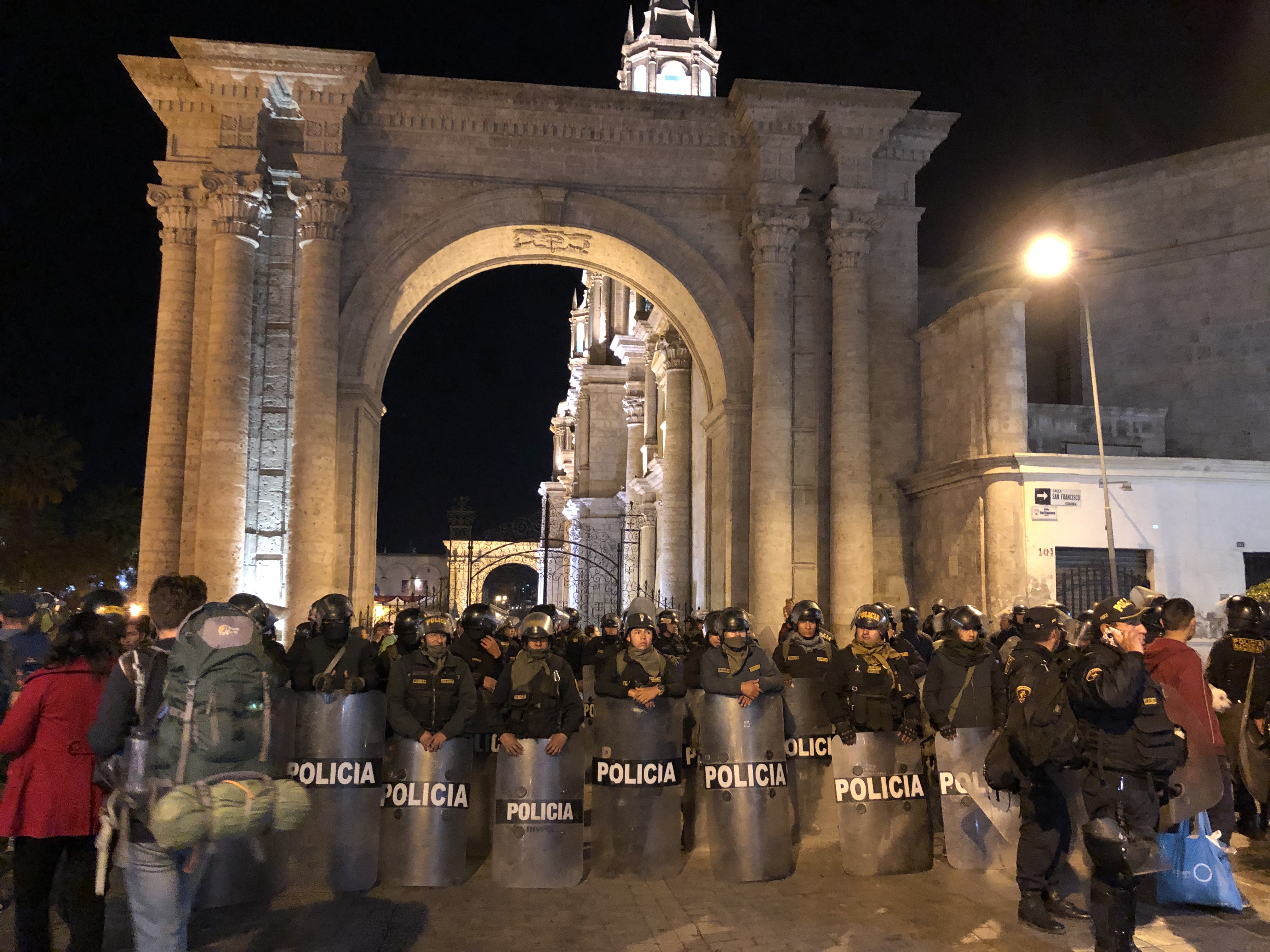
After returning from Cabanaconde, our plan was to travel to Cusco straight away the next day. How naive were we. A huge new $1.4b mine has been proposed close to Arequipa and the people are NOT happy about it. Protests kept us in Arequipa for another 3 days, with the roads all blocked with rocks and people. The main chant and slogan on banners was “Agro si, Mina no” (agriculture yes, mining no). The protest was split into two main groups, those peacefully protesting with green flags, and people with red flags who didn’t mind being a bit more mobile… We saw a car get rocks thrown at it for trying to drive and not join the protest.
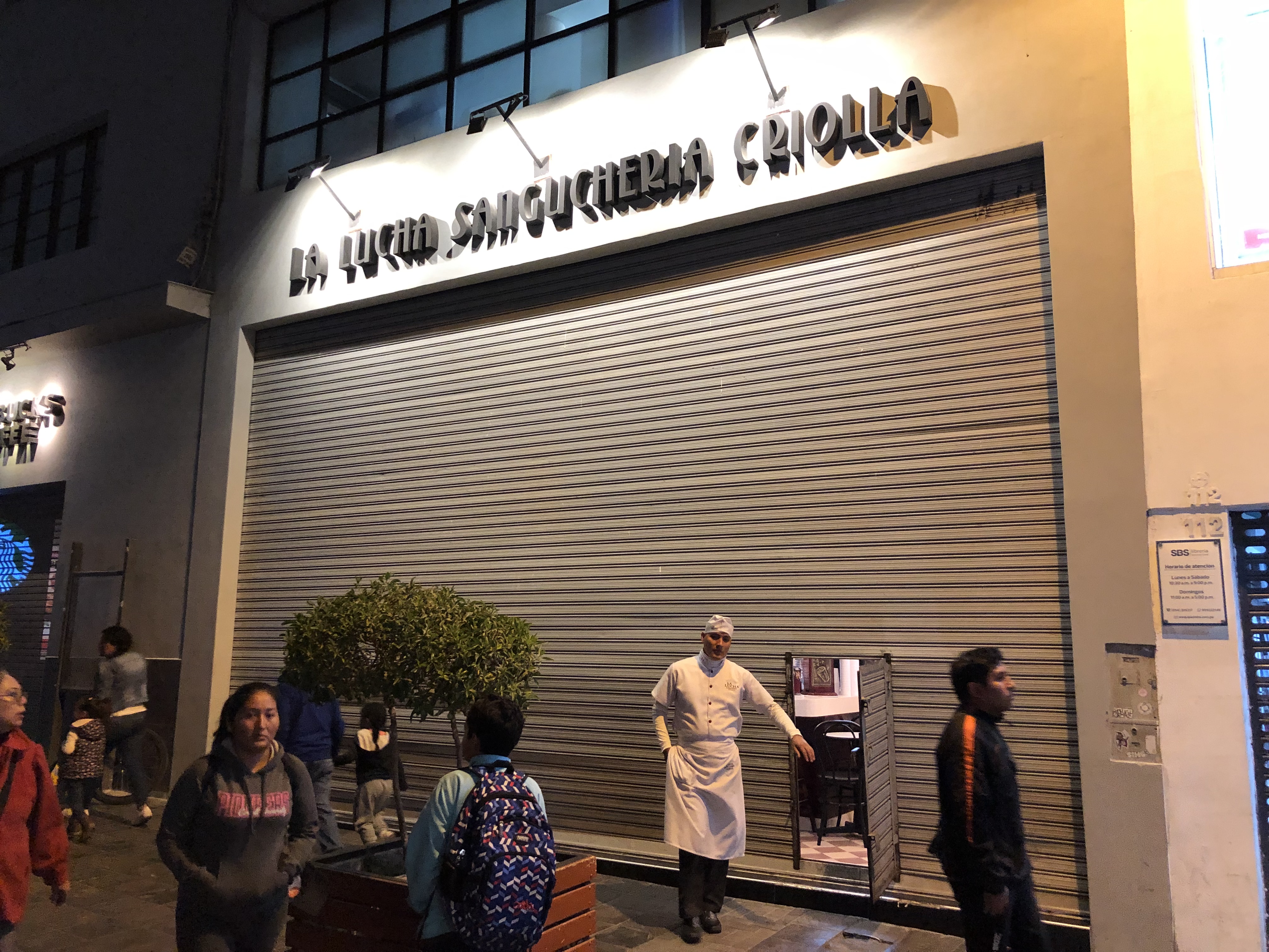
Most shops in the area were closed, or had their shutters mostly down. Many were open like this one, with a tiny door in the shutters to get in.
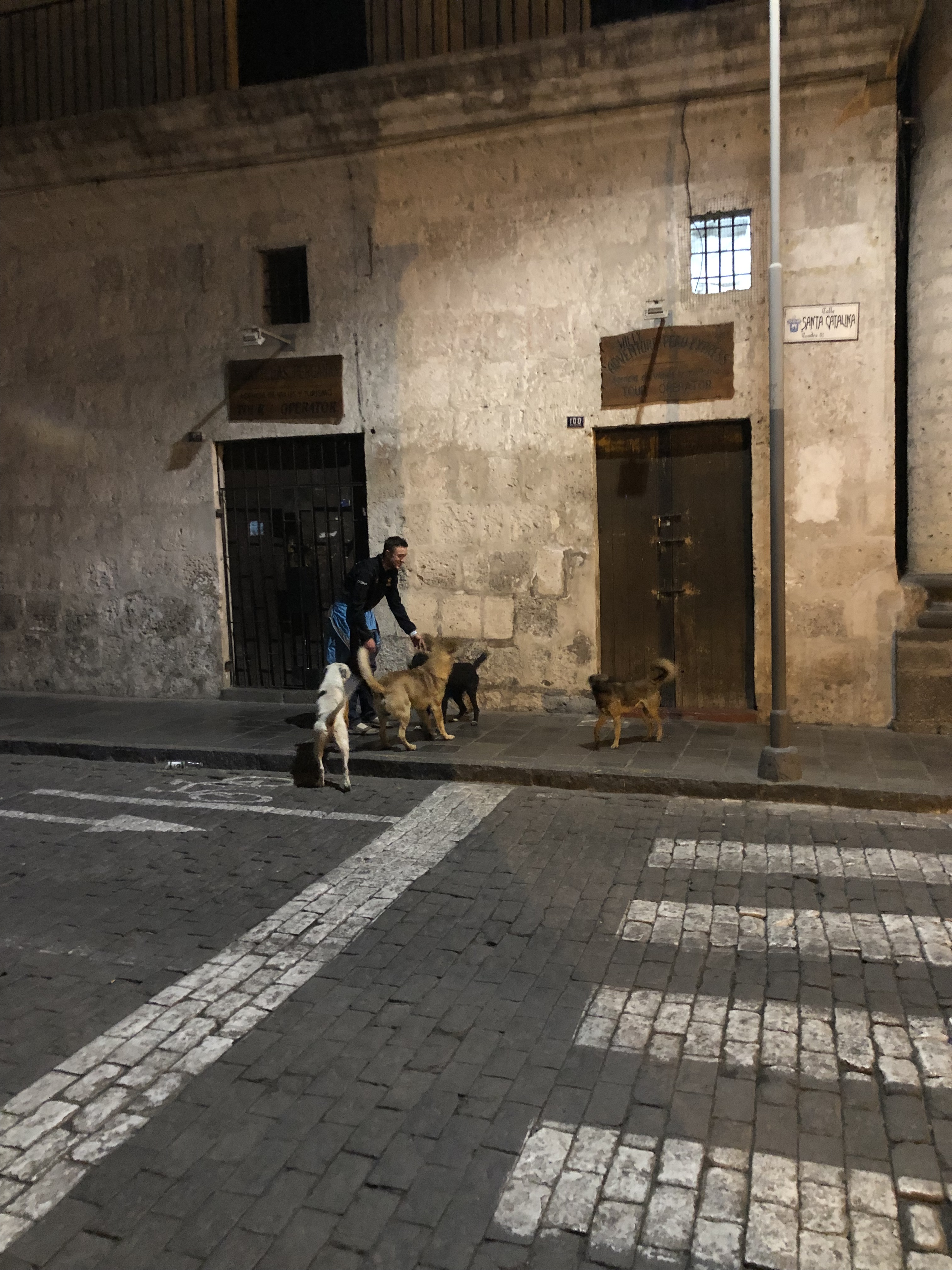
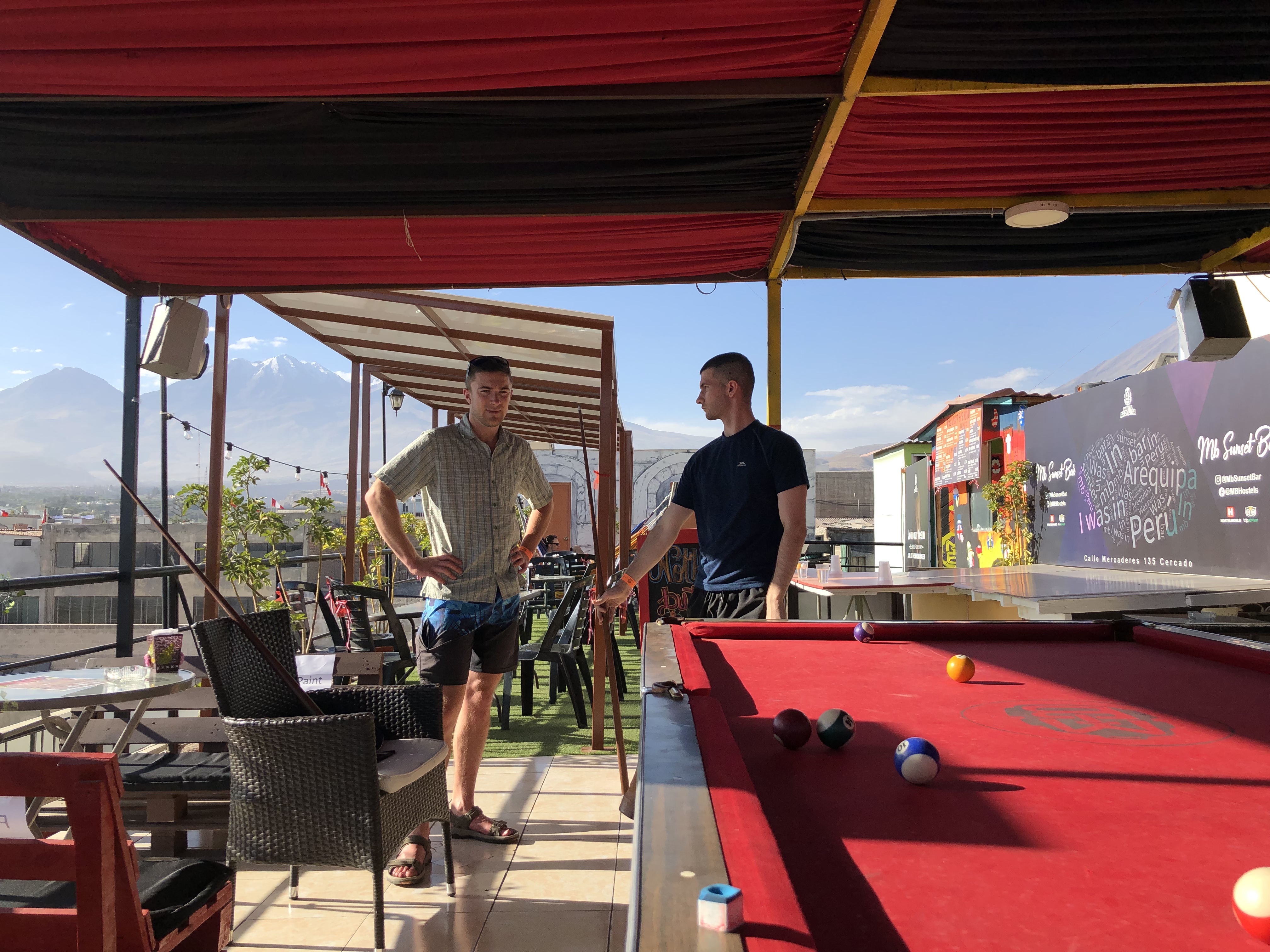
In the time we had whilst waiting to leave, we mostly played cards, pool, observed the protests and drank. After drinking on one of the nights, on the way back we came across a pack of 6 street dogs. One of which really did not like Joe, whilst the other 5 accepted him as part of the pack and protected him from the one wanting to attack him, they stuck with us the whole way back to the hostel (as has now became common, we’ve met quite a few nice street dogs that have ended up following us around for a while).
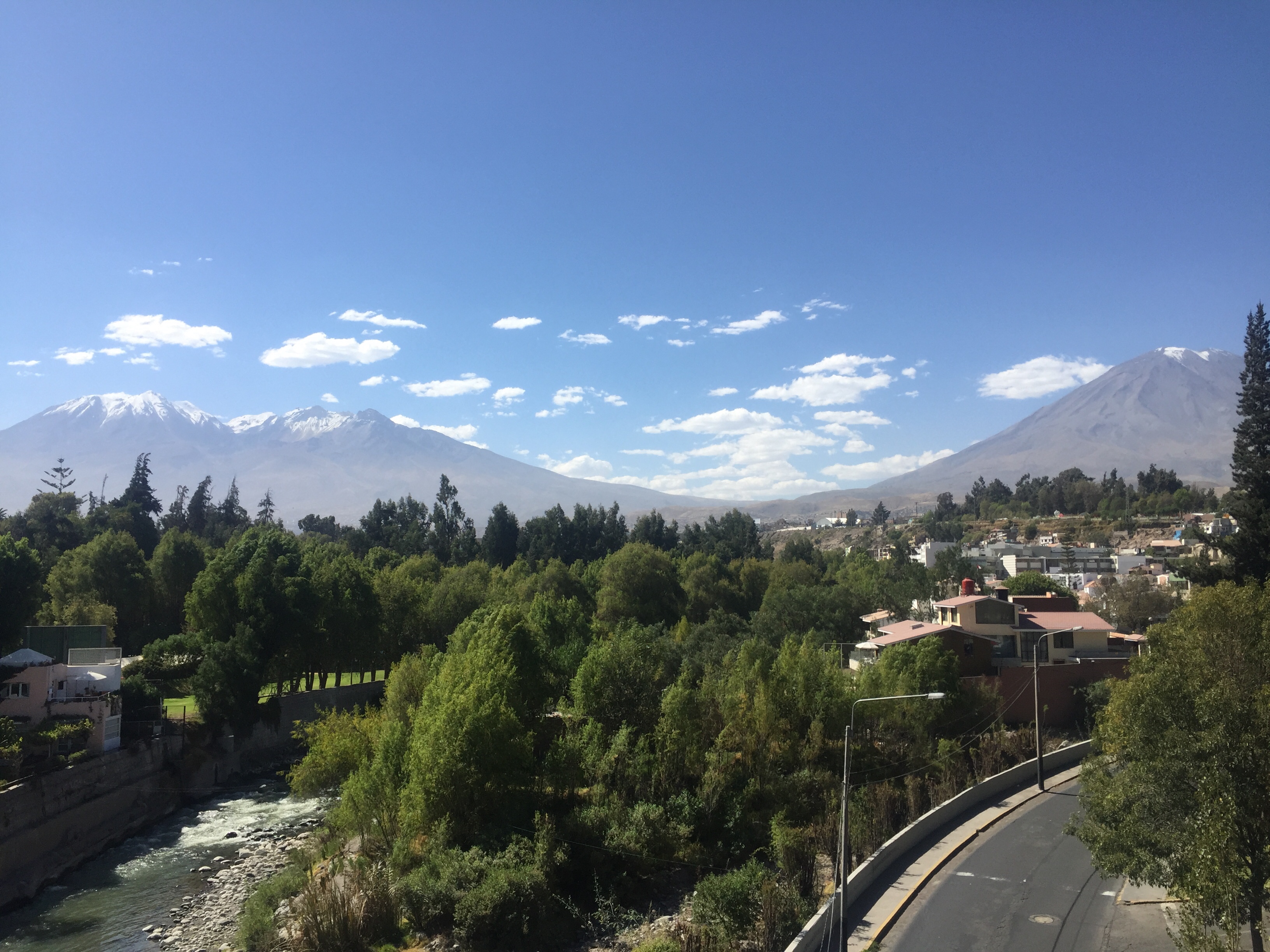
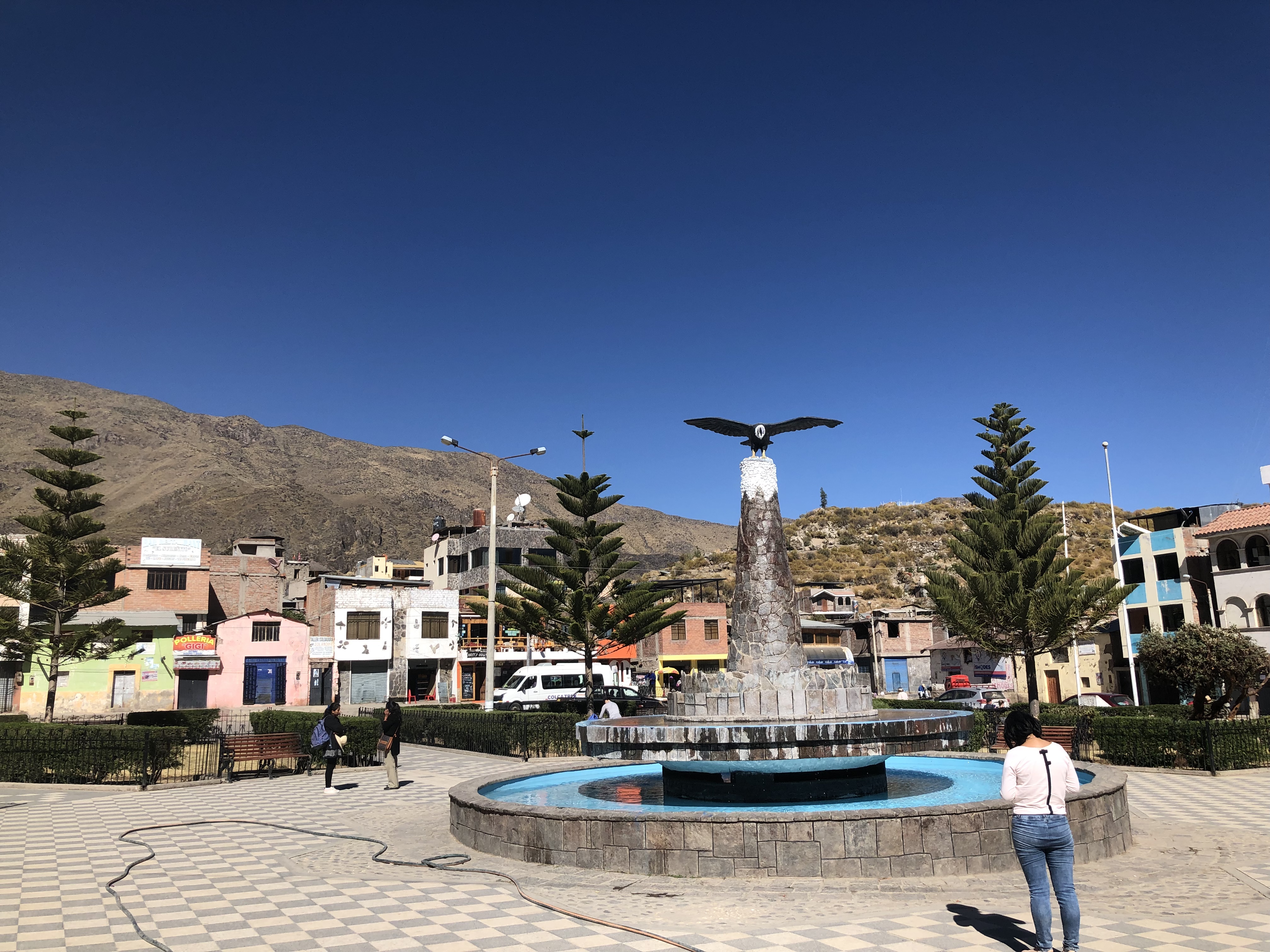
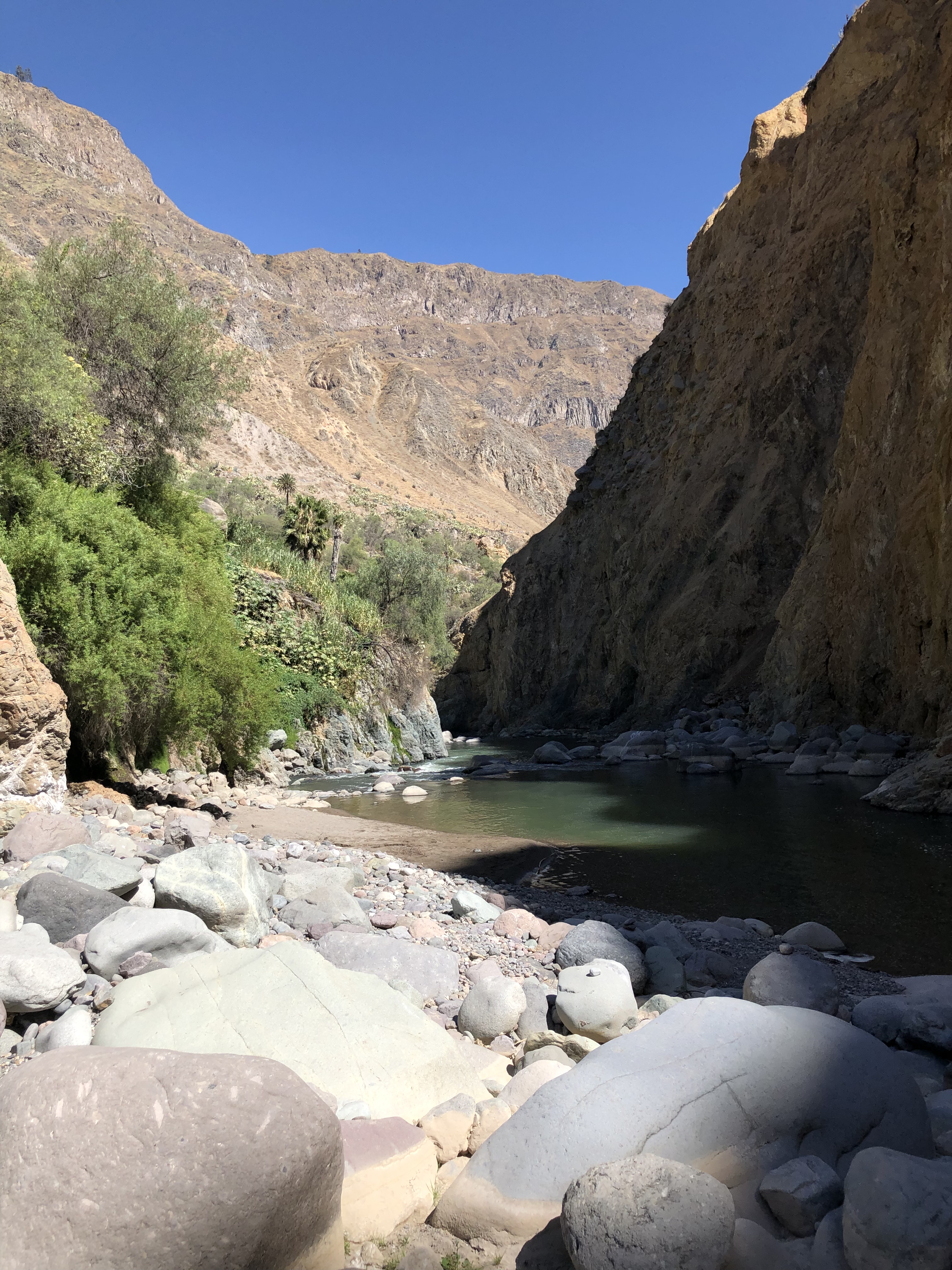
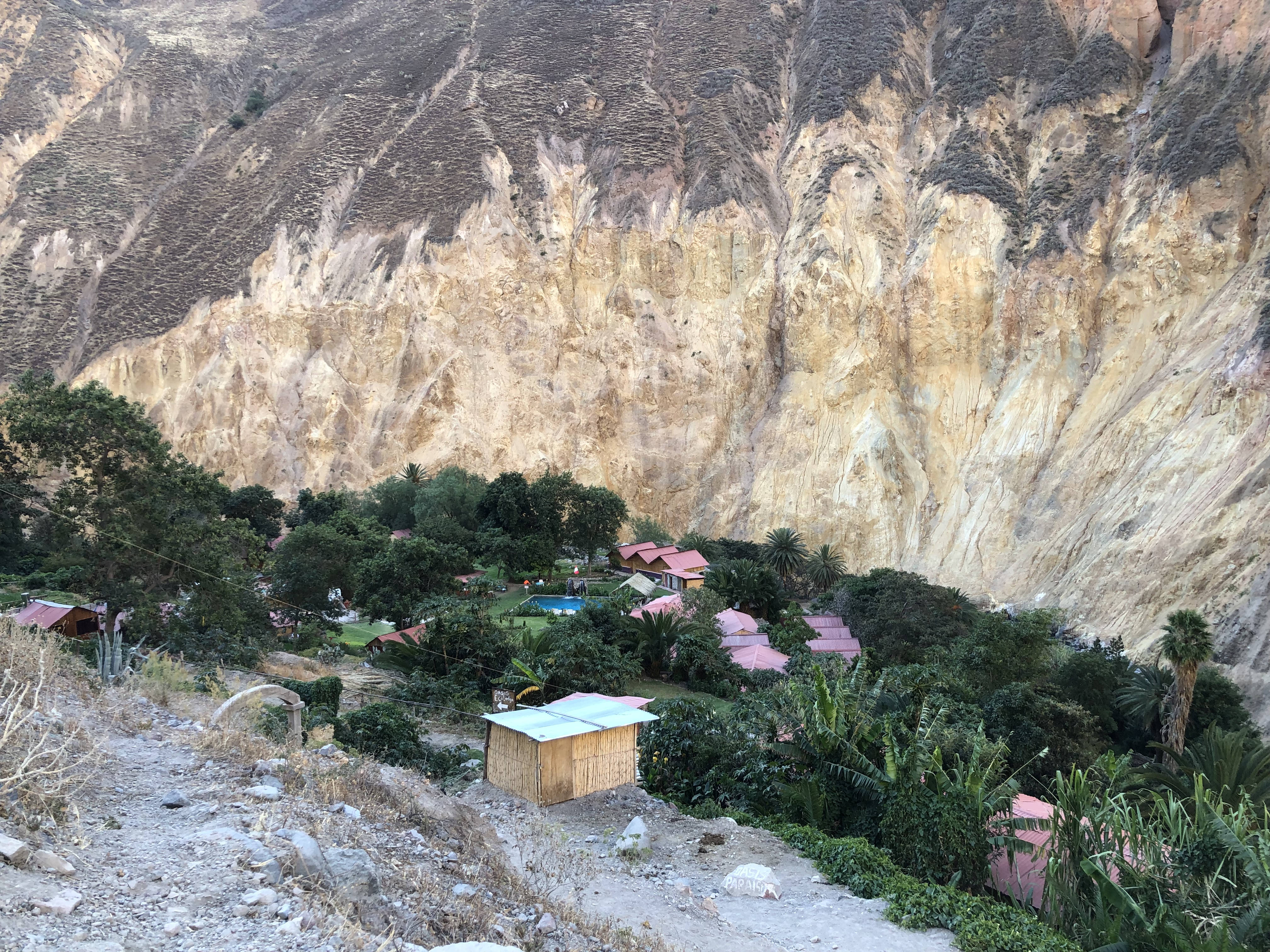
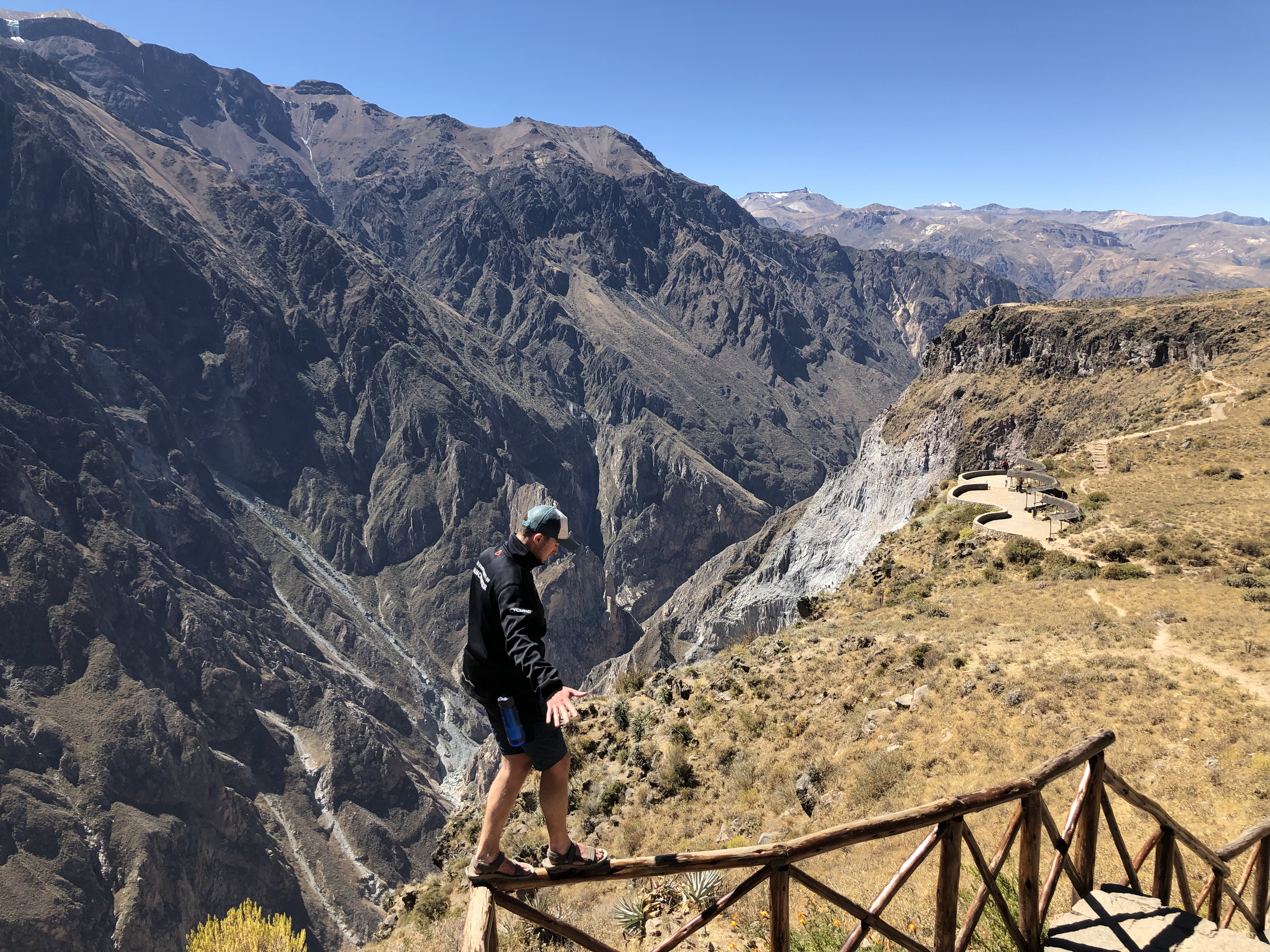
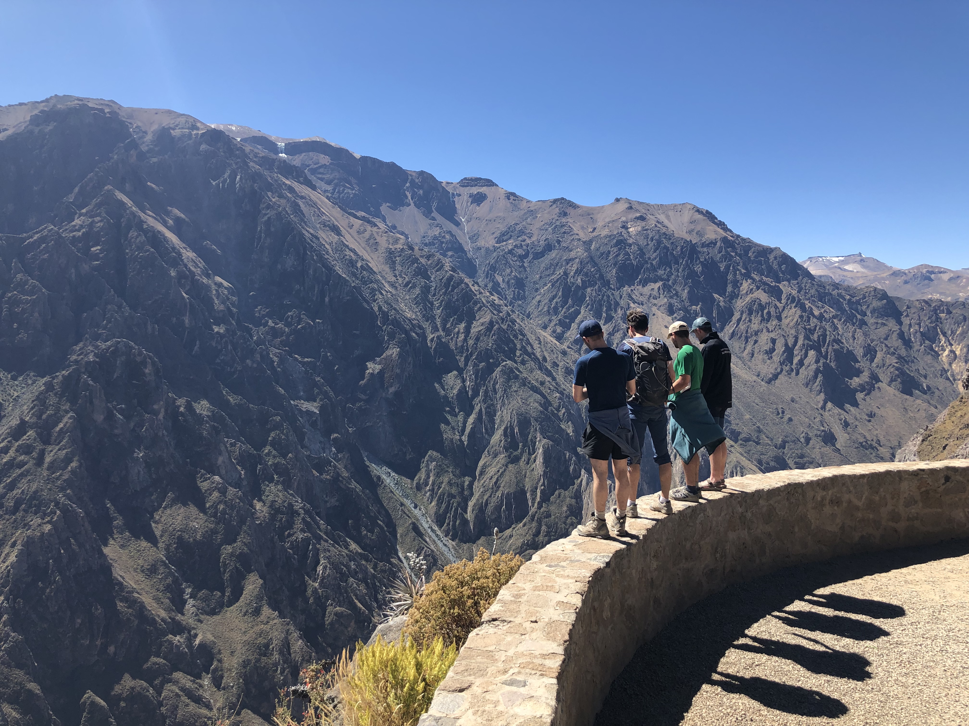
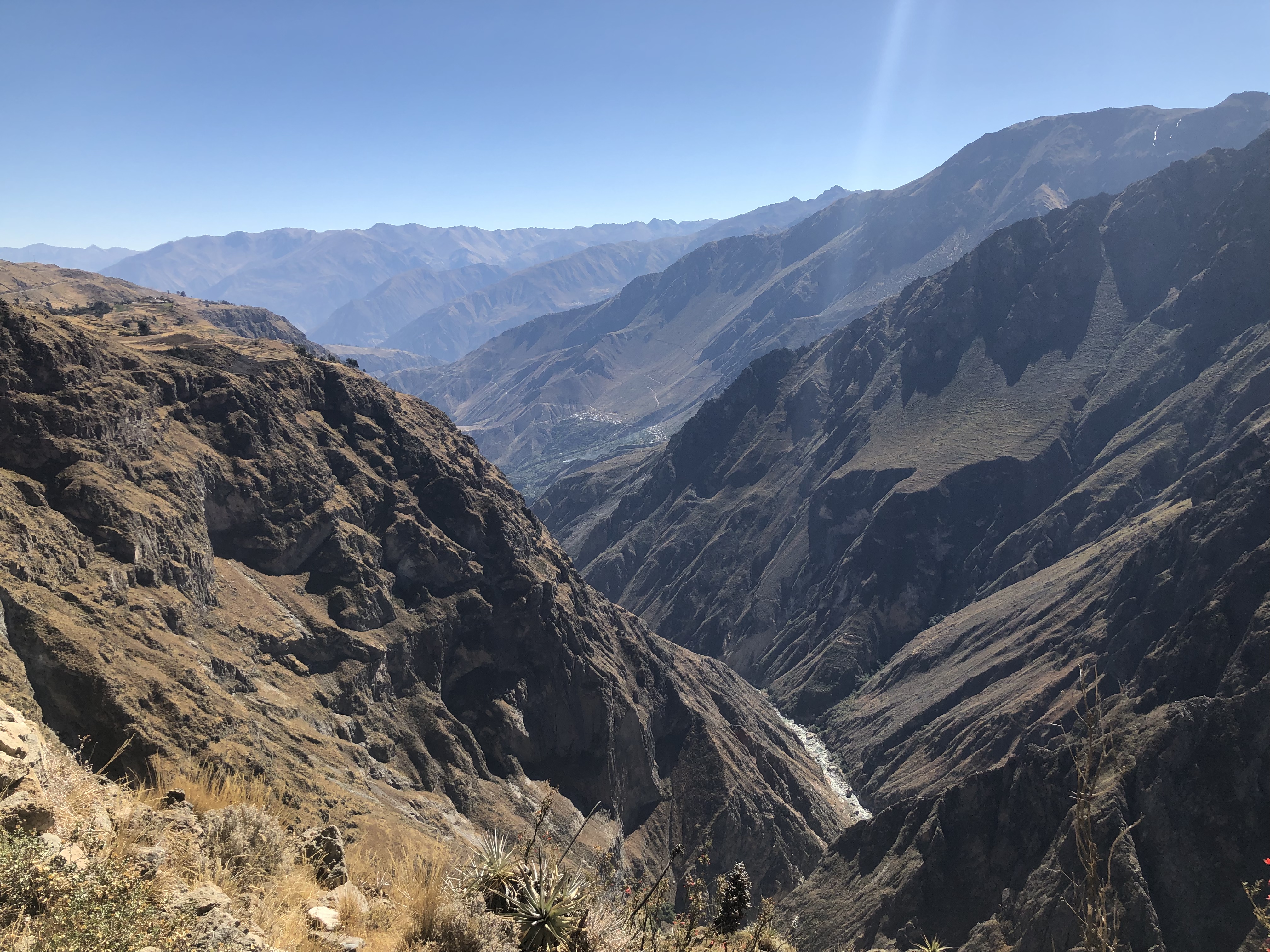
After a short stay in Arequipa, we travelled to colca canyon, the “second deepest canyon in the world” at 3000m deep. Apparently there are a few in the Himalayas far deeper, but not considered as they are inaccessible to people. Arequipa was a very nice, relaxed place with a friendly atmosphere and views of nearby volcanoes.
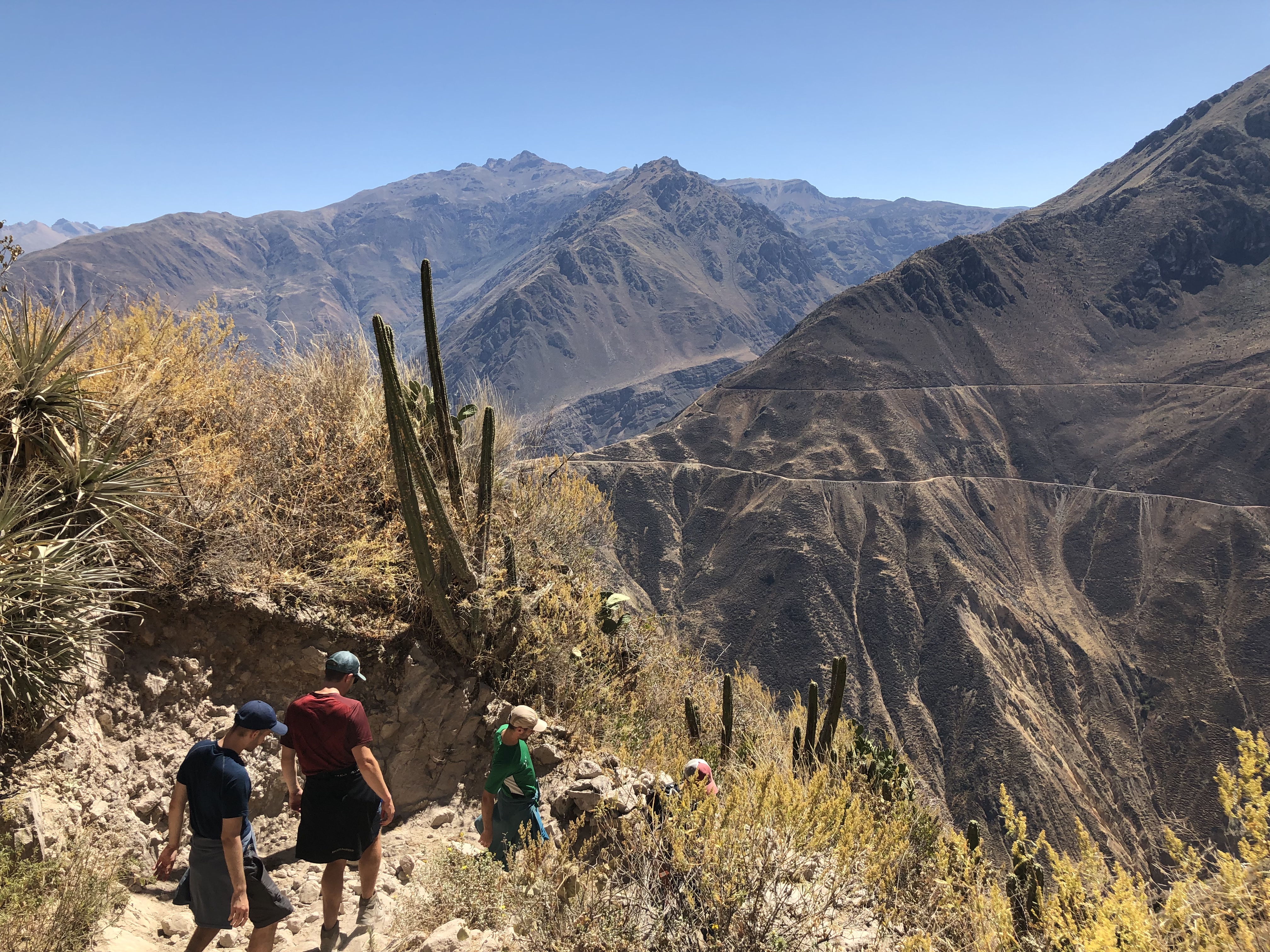
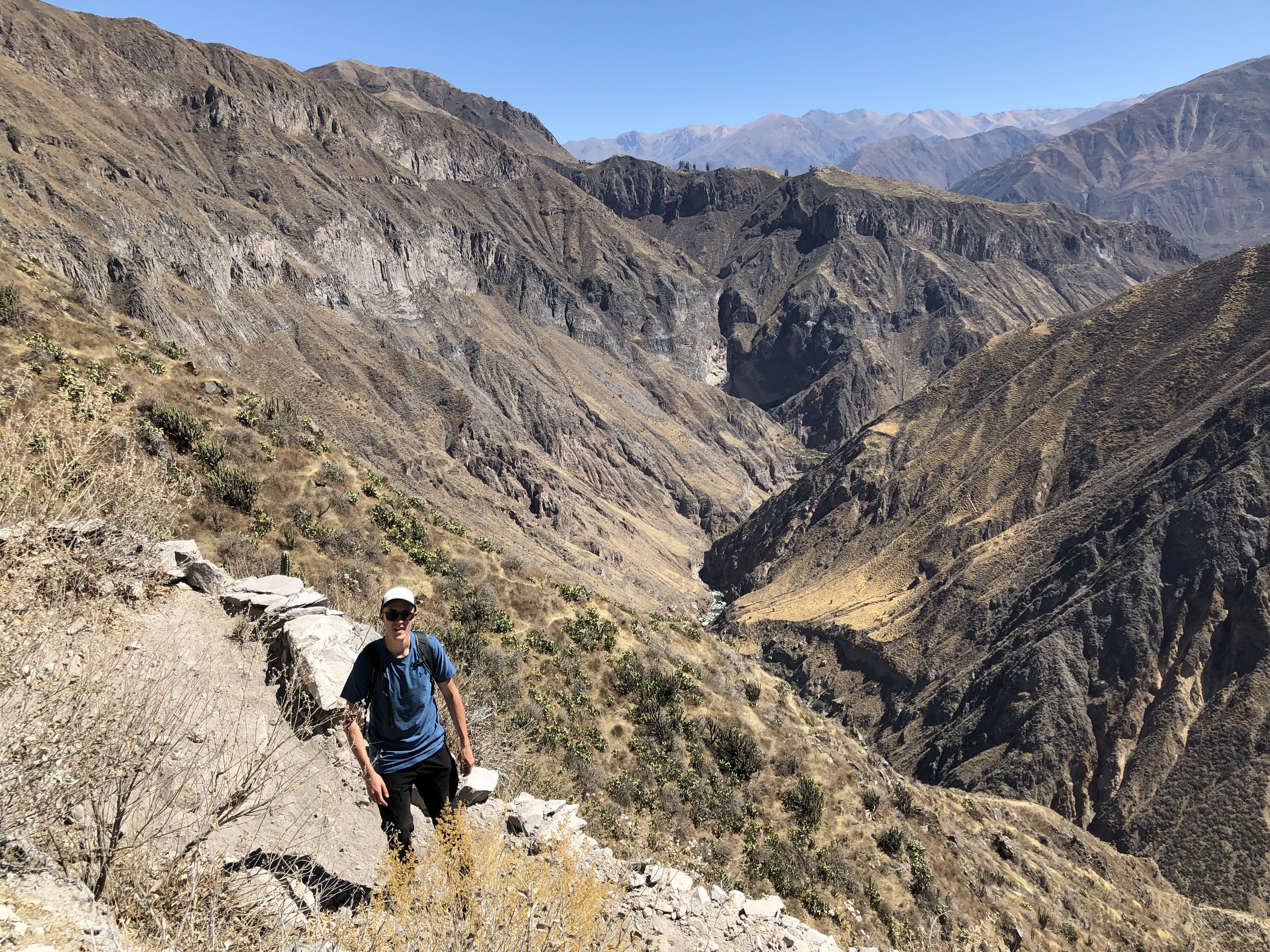
In the morning we descended 1km into the canyon, to the river. We chilled out for a few hours in an oasis place at the bottom before making the ascent back up. It was difficult, but good practice for upcoming treks.
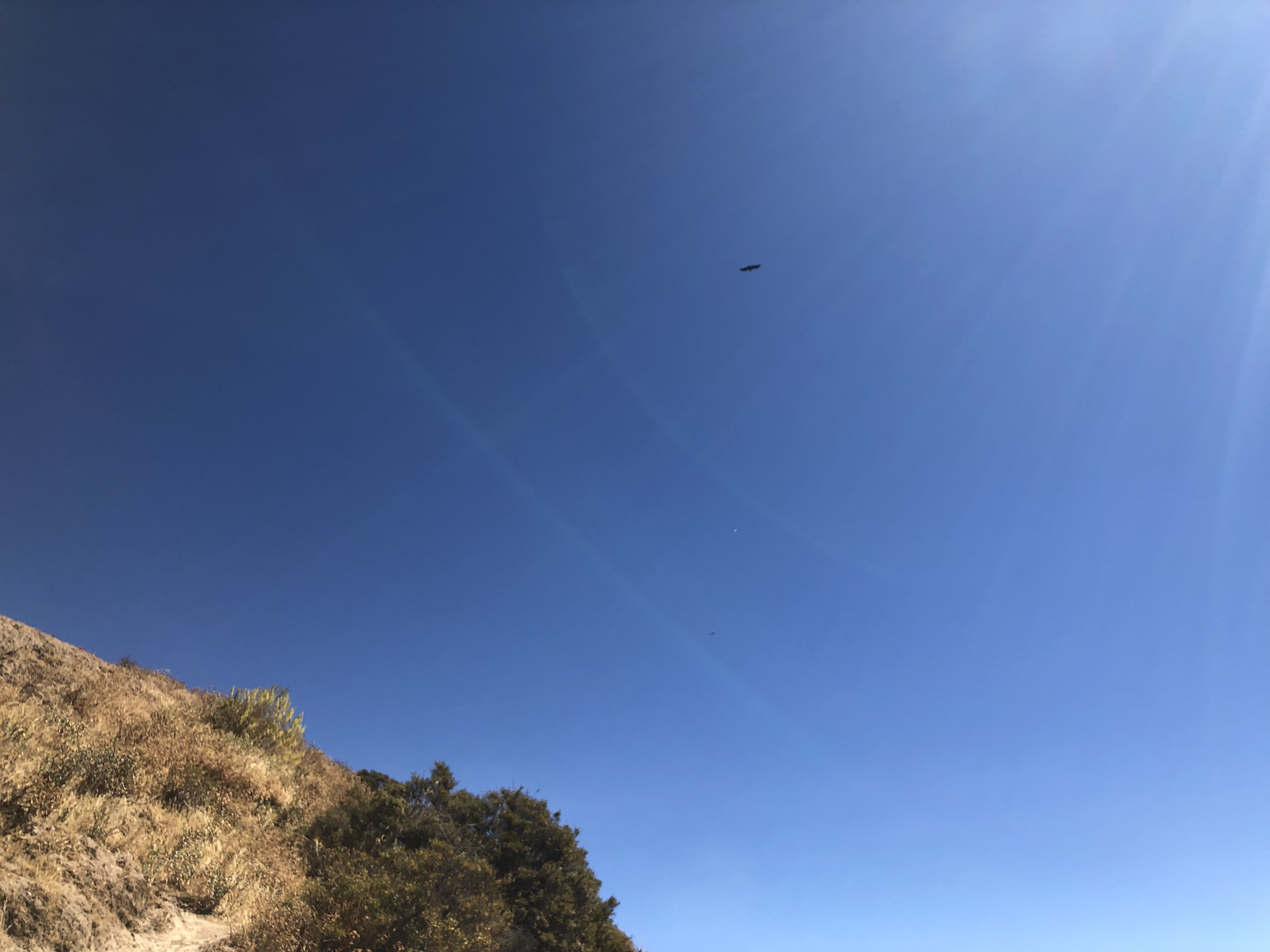
Joe saw a jackel on the way up. By the time we got to the top it was dark and stars were amazing (probably best I’ve ever seen). The next day we took a bus to Cruz del condor (another point on the canyon) and saw a couple of condors (the largest birds of prey in the world).
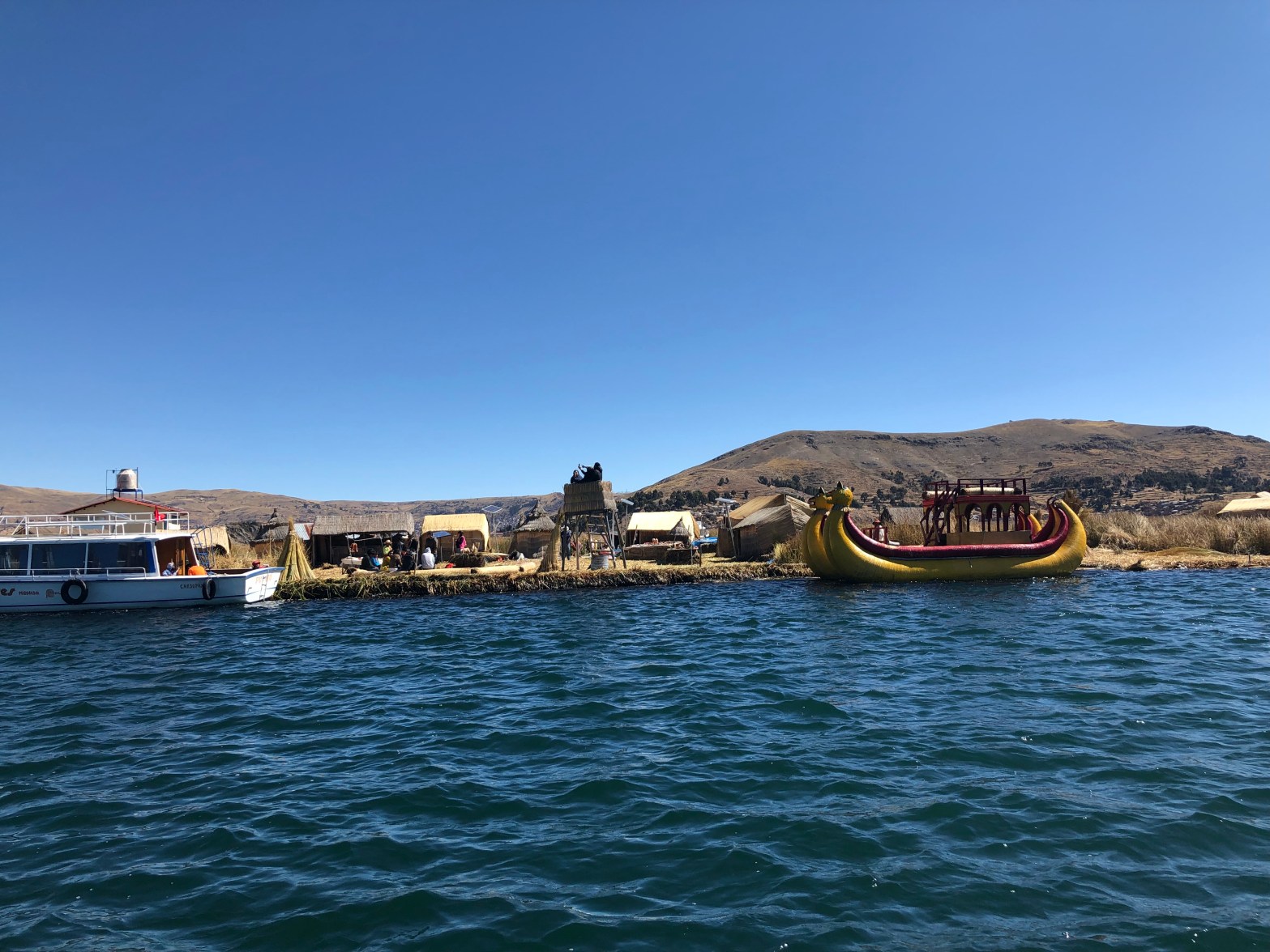
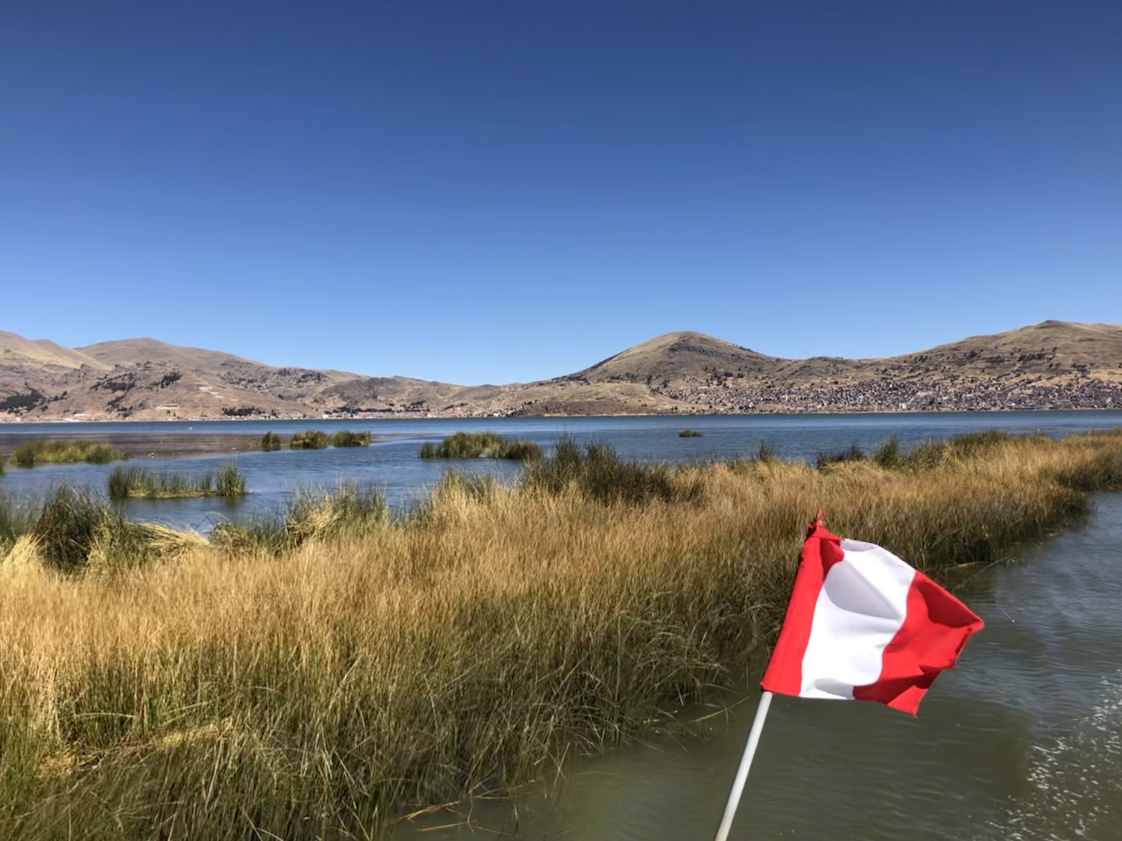
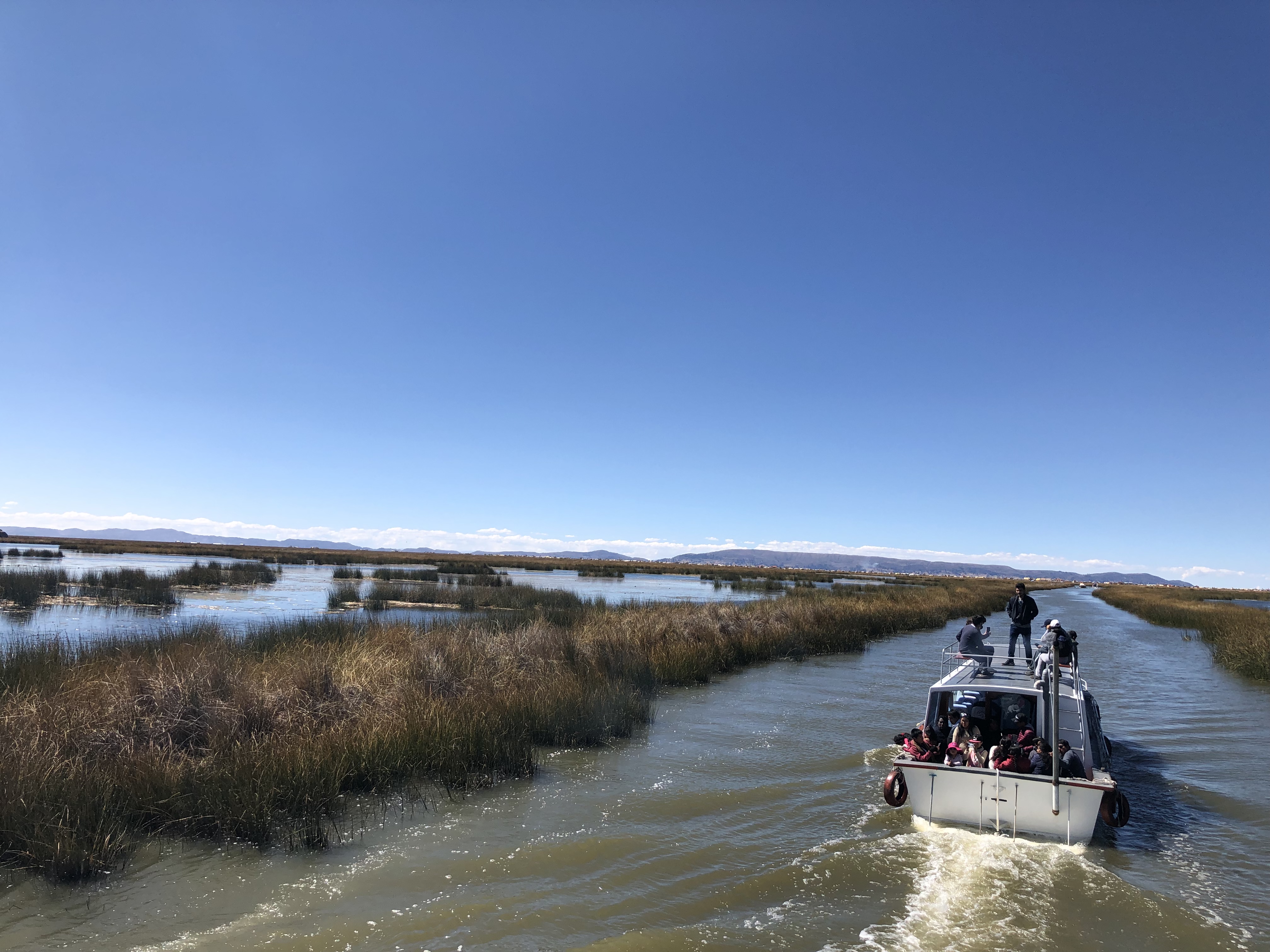
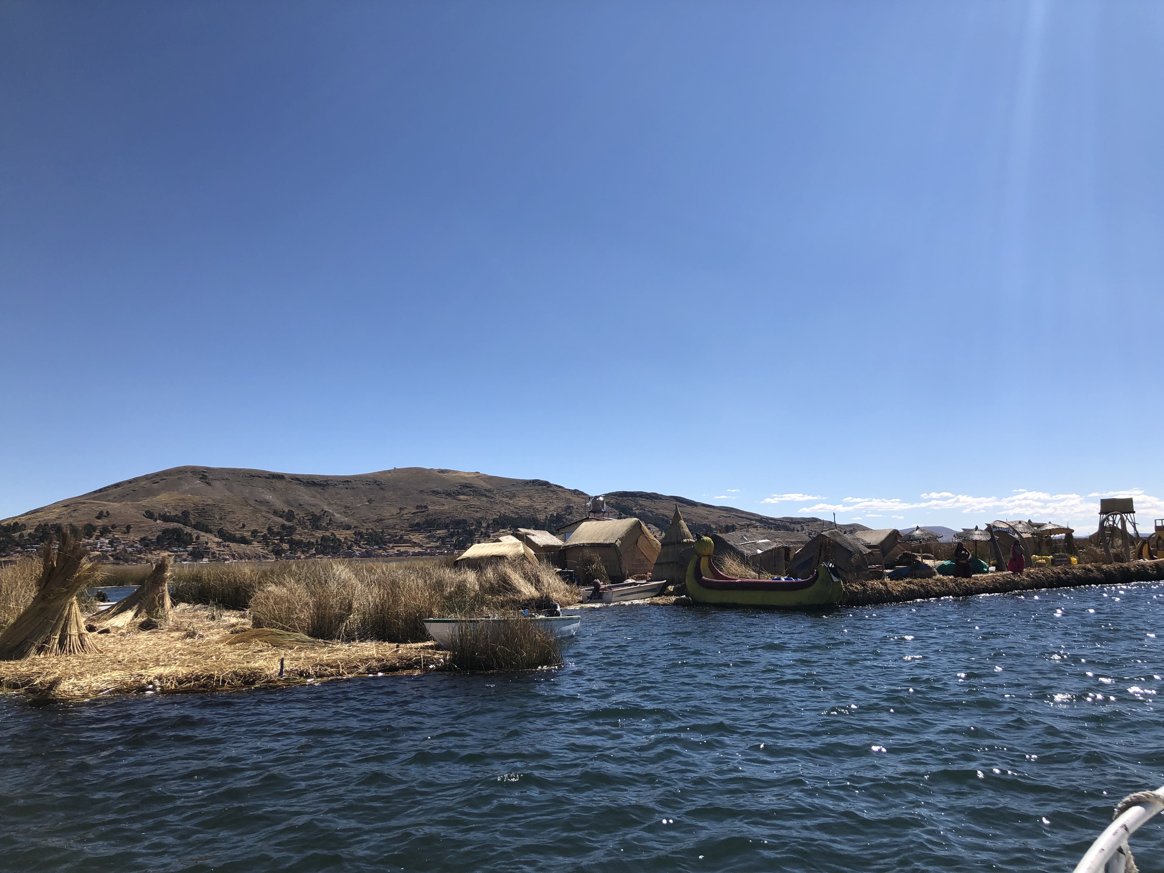
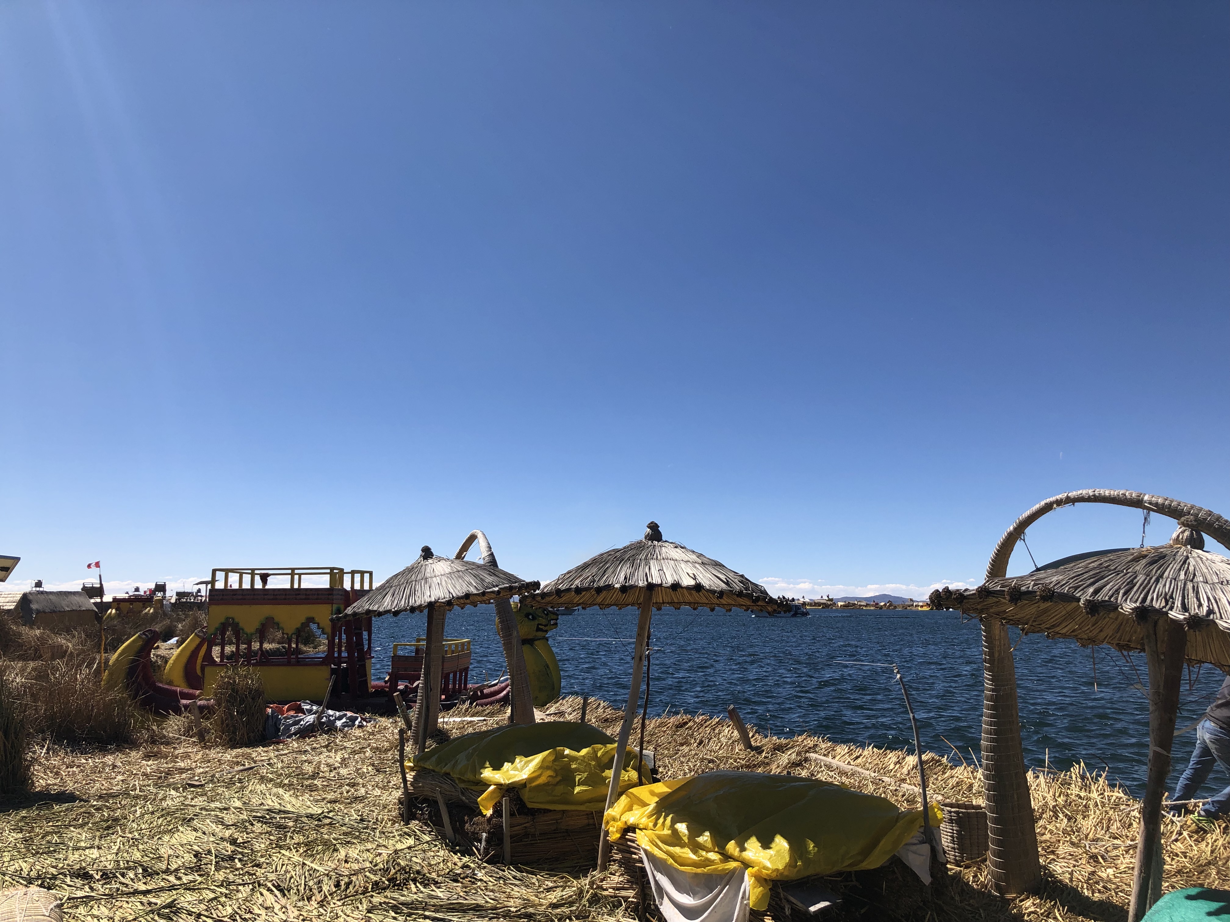
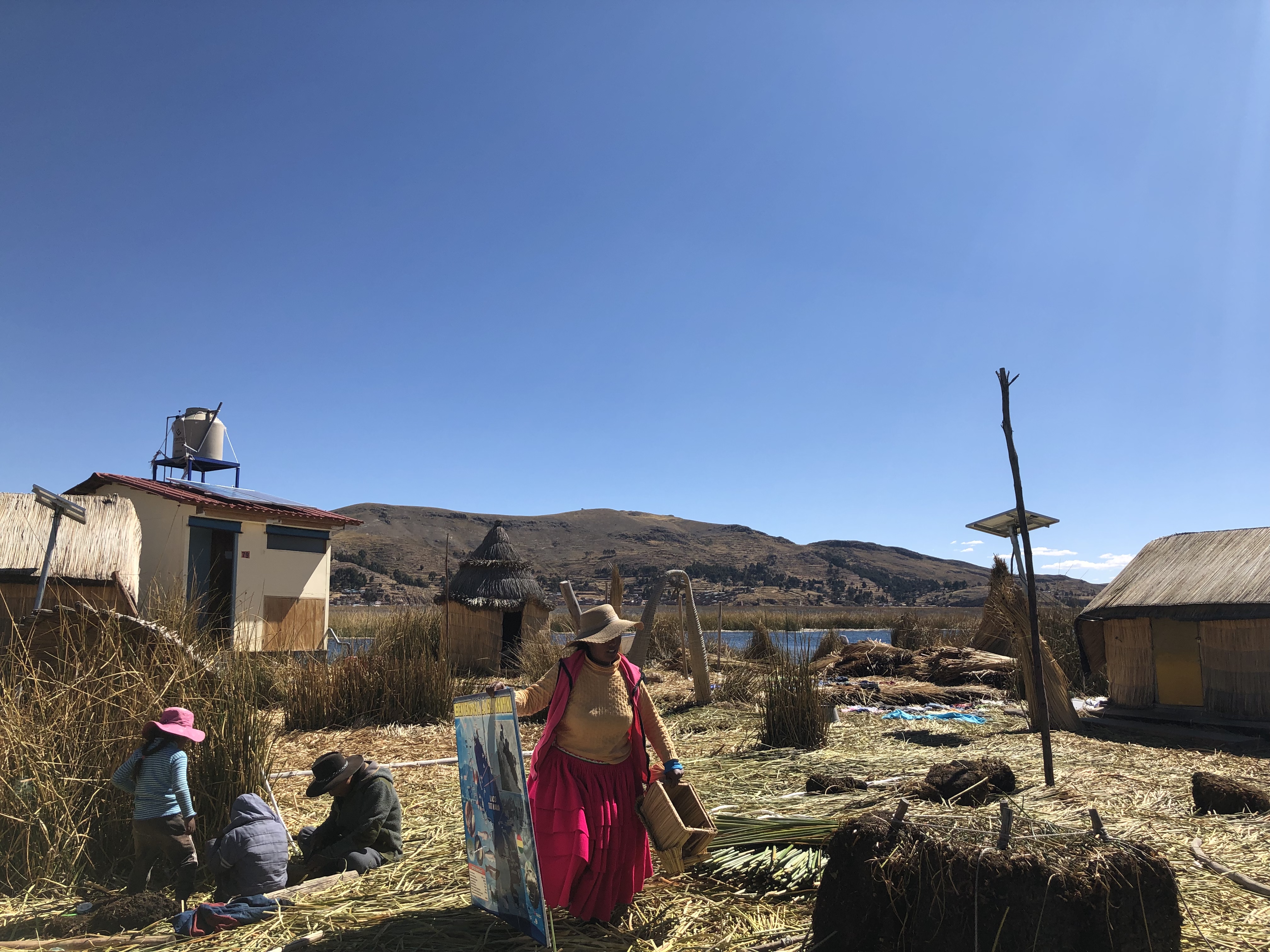
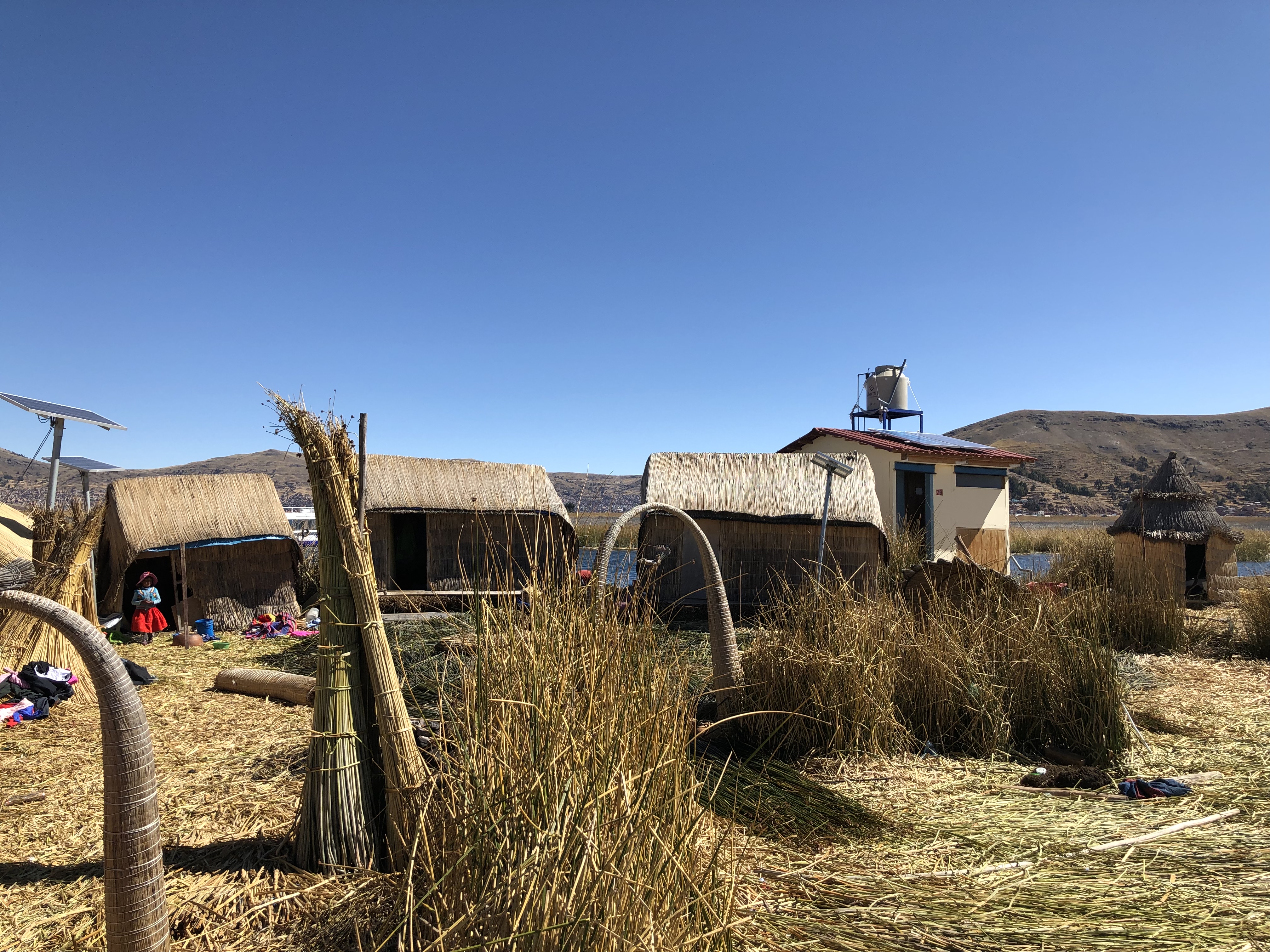
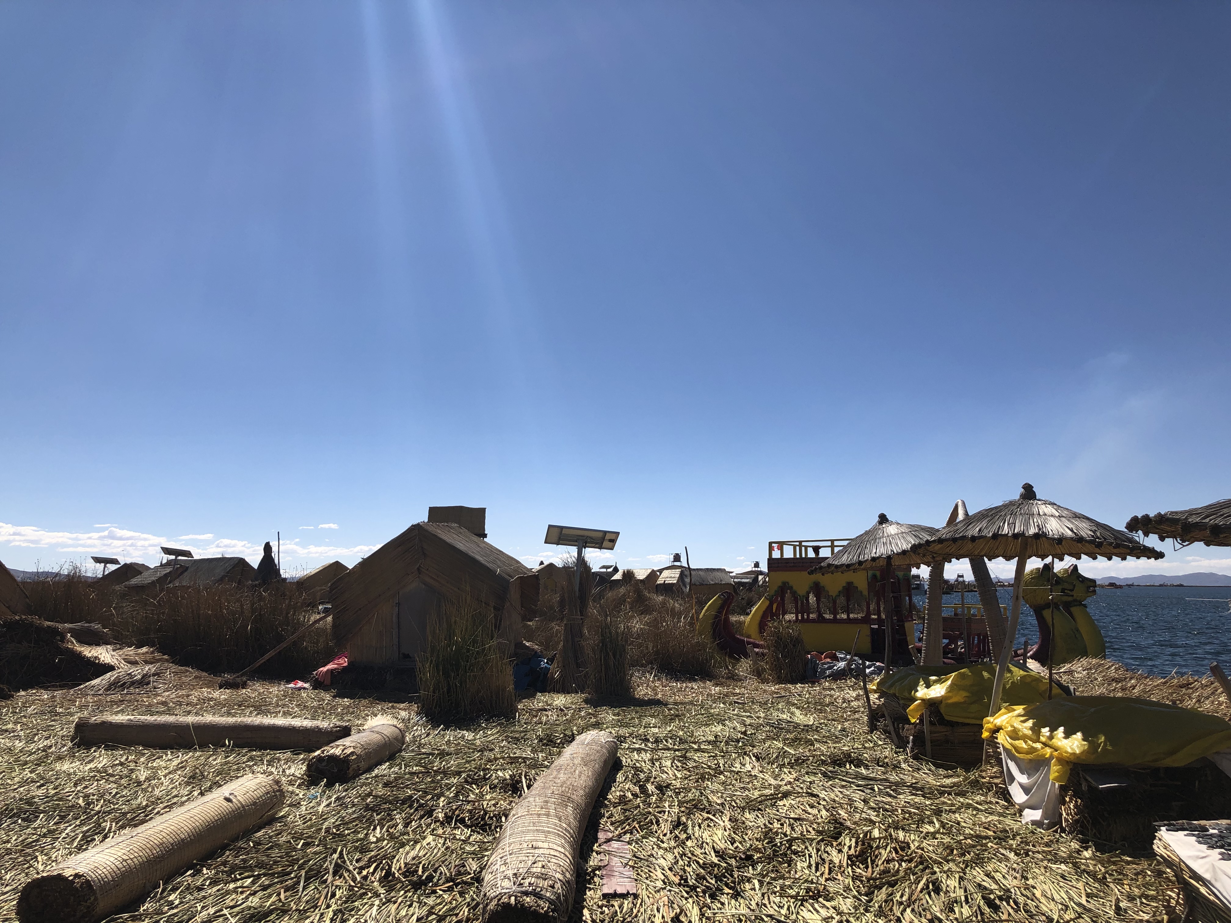
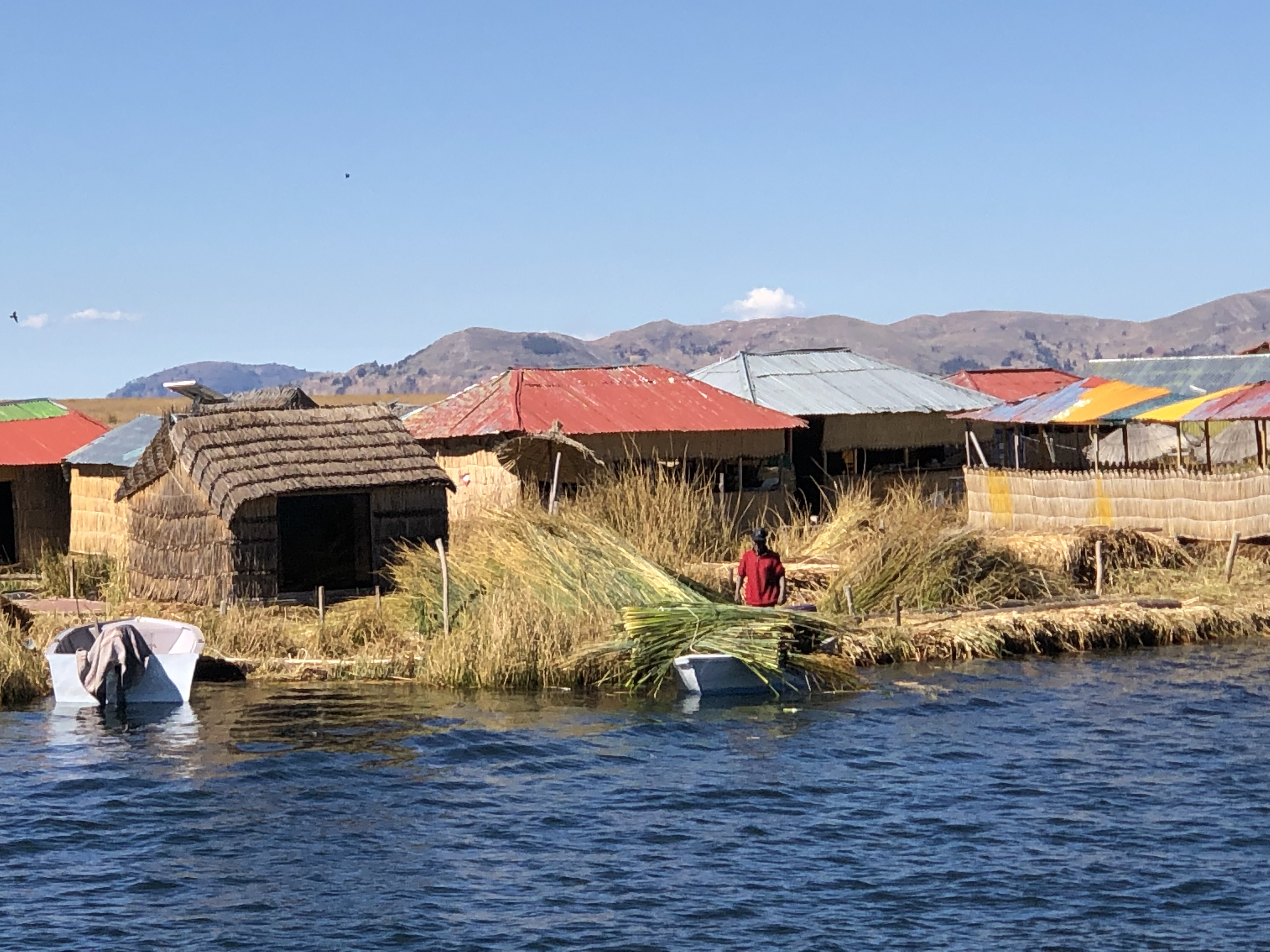
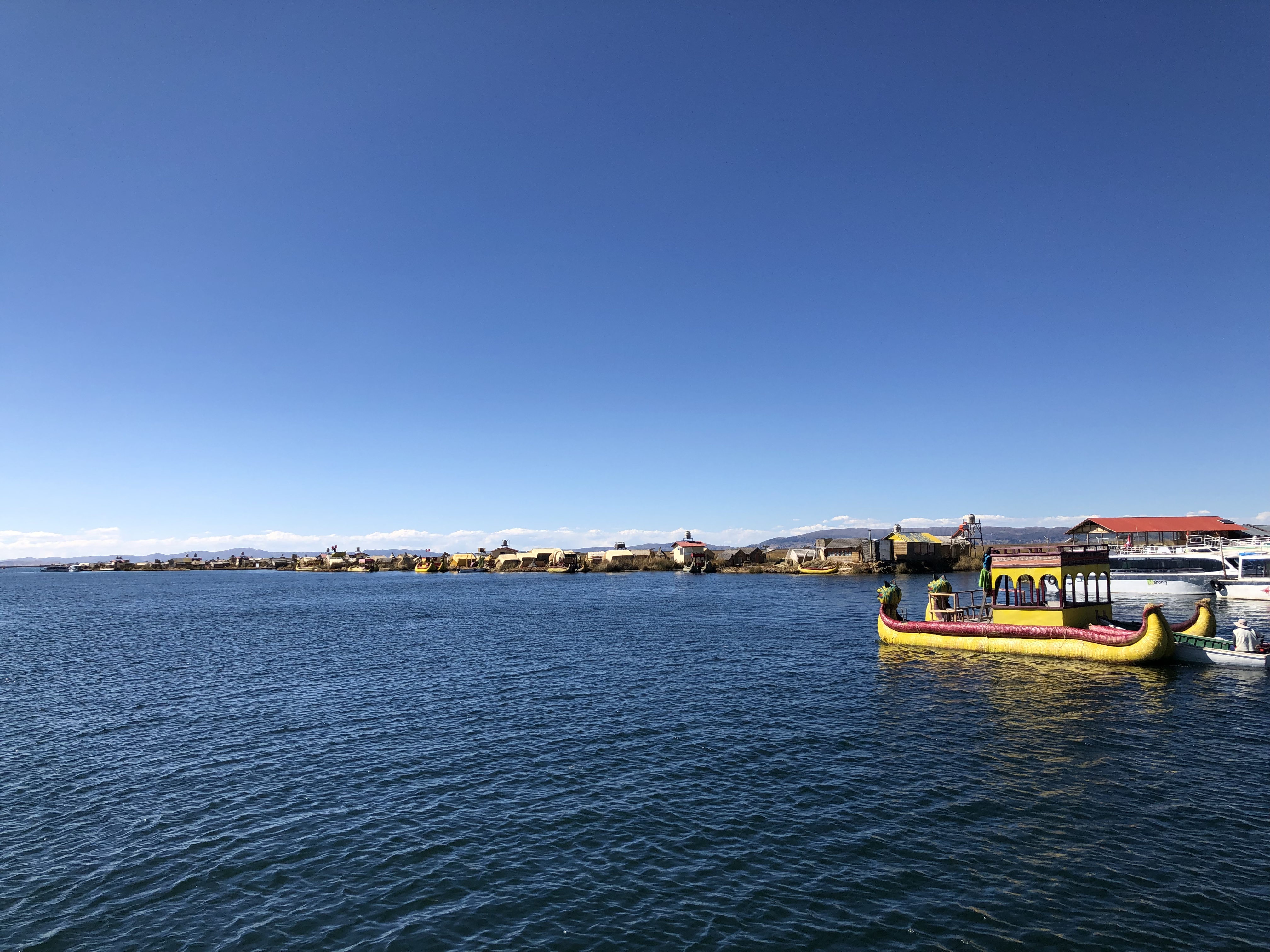
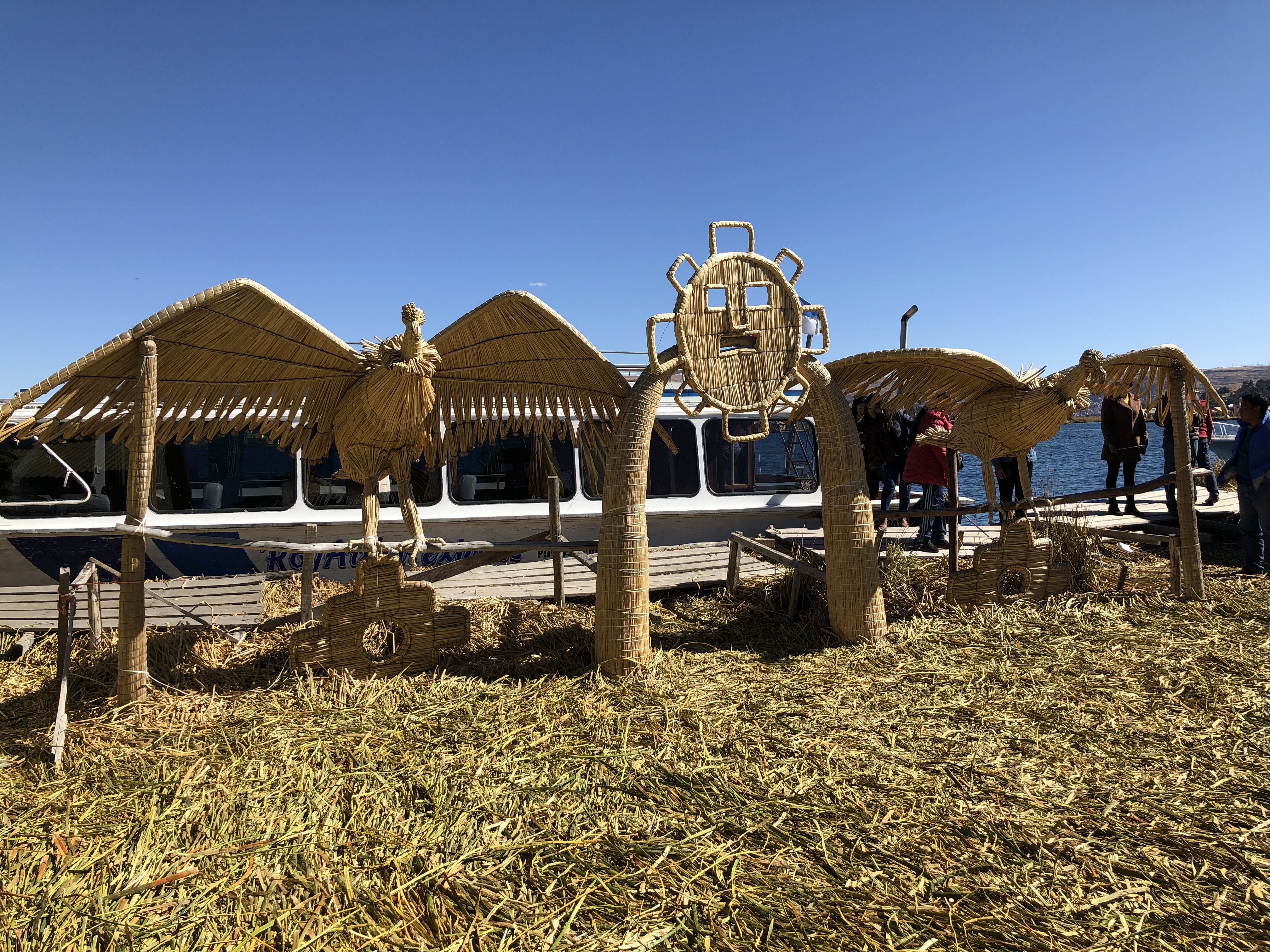
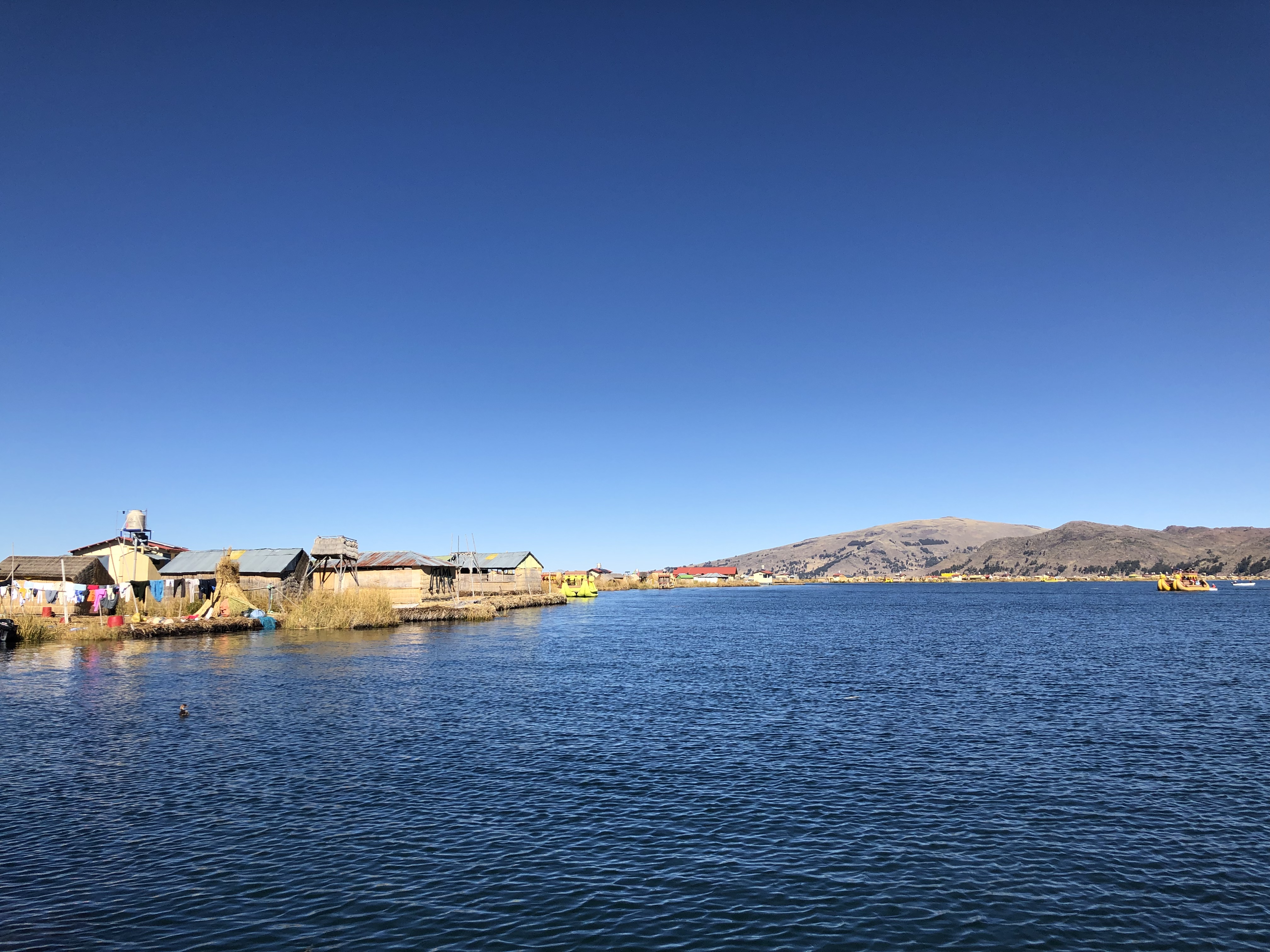
The day after returning from the Takesi Trail, we packed up and got a coach to Puno, a town on the side of lake titicaca – the highest navigable lake in the world. We stayed at Santa Maria hostel for the night. The next day we took a boat out onto the lake, and visited the floating islands where the Uros people live. 4,600 people live across 120 islands, which are made out of reeds and anchored around the lake in both Peru and Bolivia.
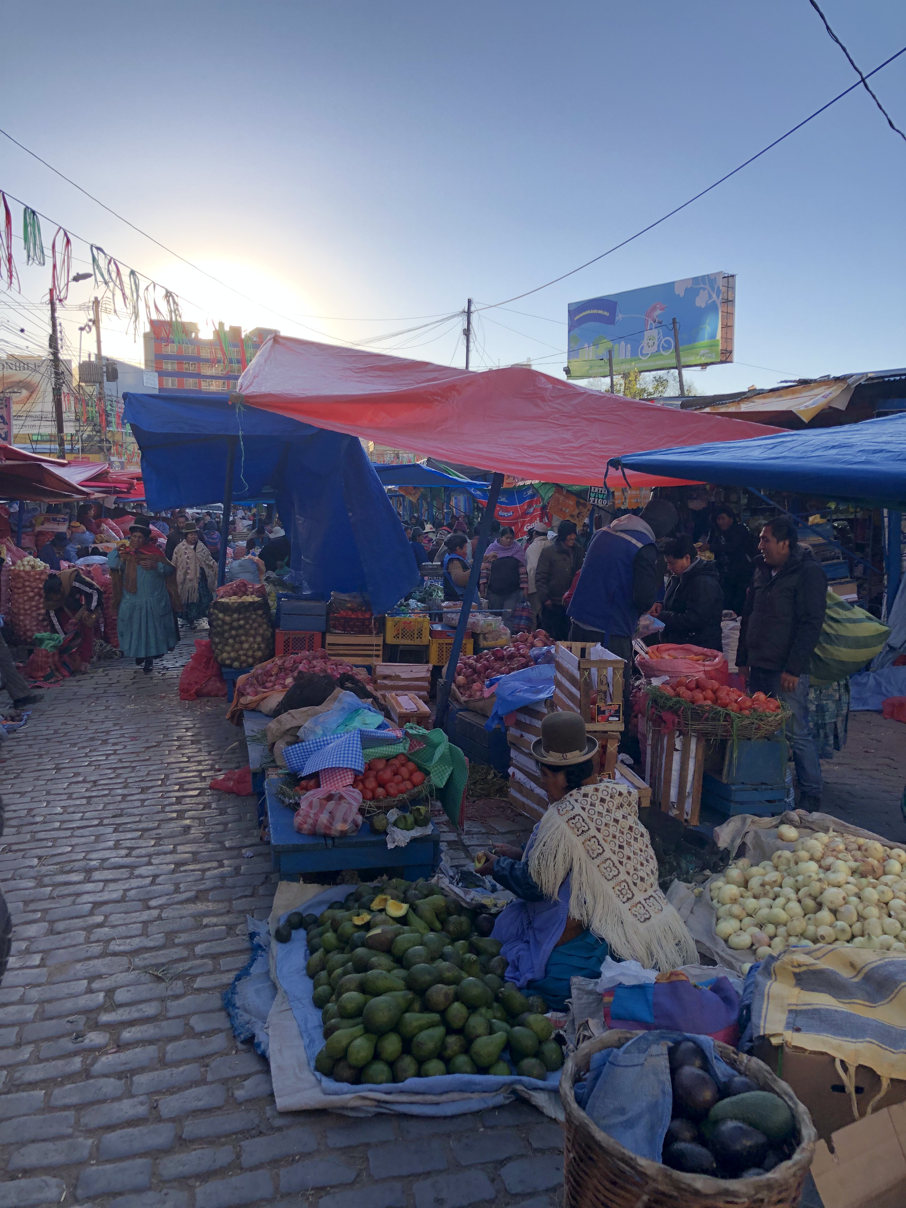
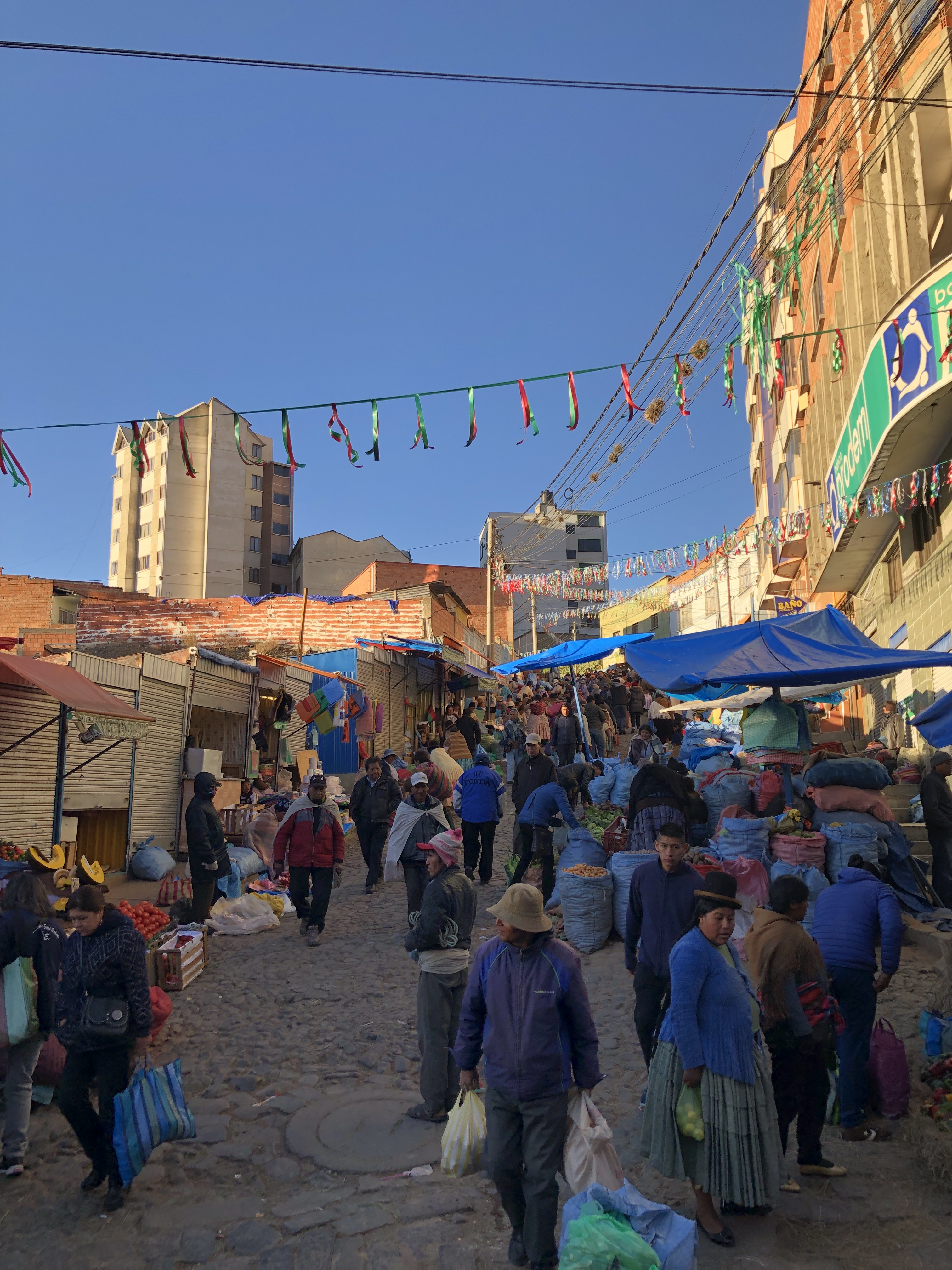
We got up early to travel to Choquequta, where we started the takesi trail. Niall was ill and ended up missing the trek. The rest of us walked to get a collectiva (the most common method of transport in La Paz, and most other of the places we’ve been – I’m writing this a week delayed). Collectiva’s are small communal mini bus ride shares. On the way we walked through a huge food market and I got a huge bag of peas in the pod for the equivalent of about 50p, having my change forced on me (they were very nice, but not as nice as yours grandad!). We lost track of where we were going, and after asking someone we suddenly had an army of old women from the market helping us on where to go. Our Spanish is slowly getting better, through talking to people and constantly looking up words. Bolivia is incredibly cheap, and the people are very honest and helpful.
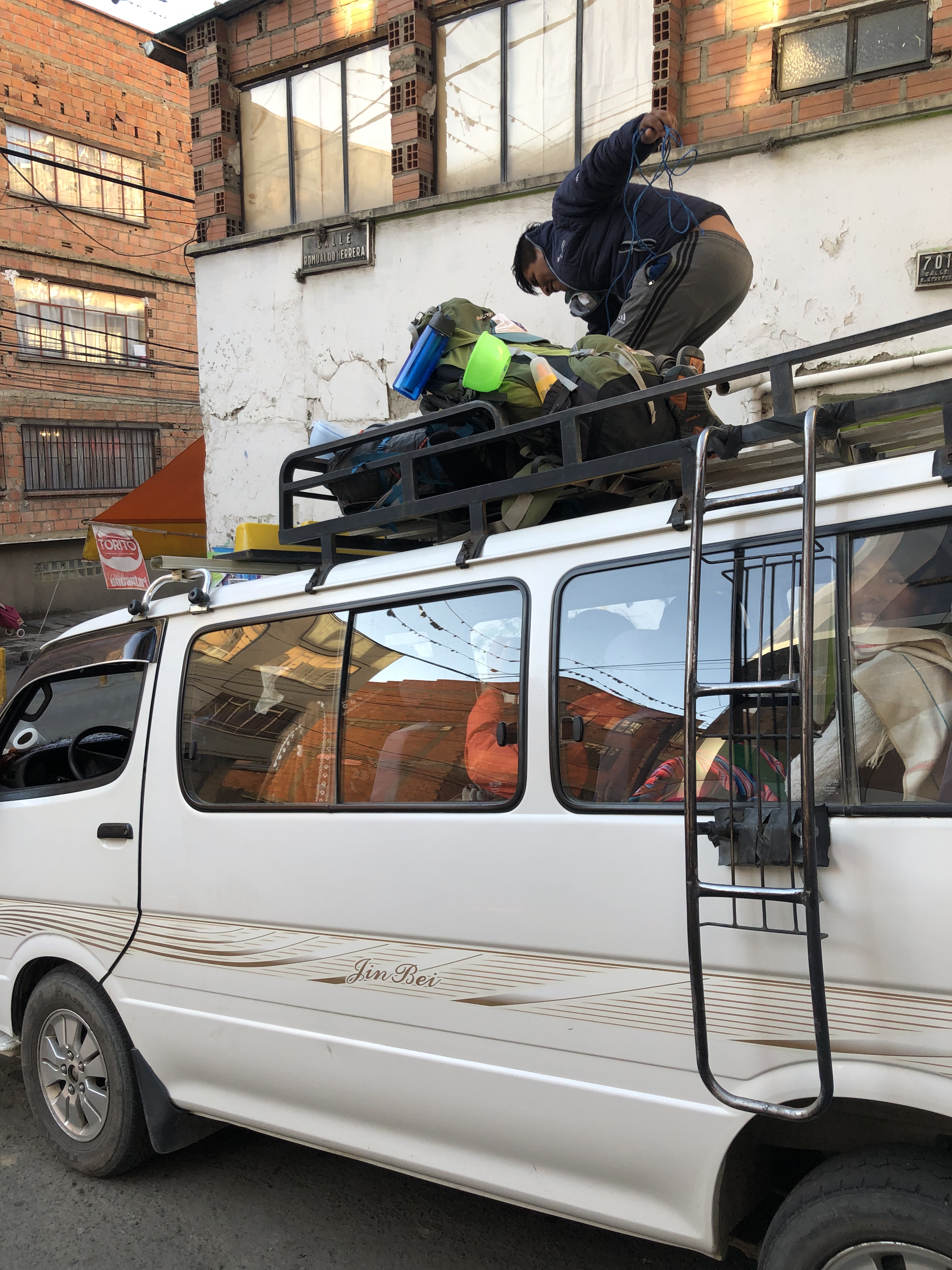
Our bags were tied to the roof of the collectiva with a bit of rope (some may say unconvincingly)
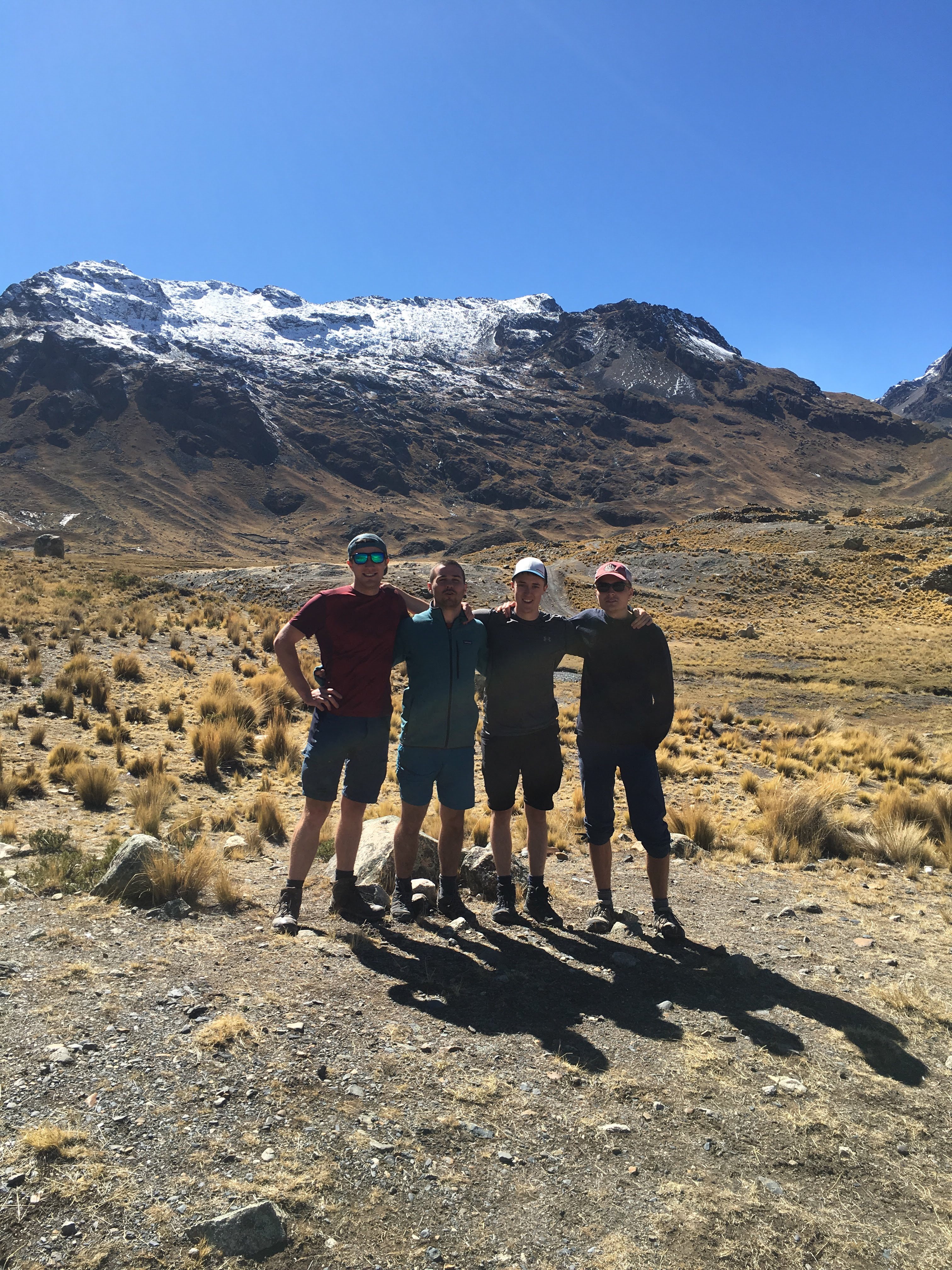
We (and our bags!) arrived at the start of the trail in a very small village called Choquequta. The trail started at 3800m, with a climb up to 4600m. The climb was very difficult and had to stop every 20m or so to catch breath and let legs recover – although we no longer had headaches, it was still very difficult going up hill at that altitude.
On the way up I saw an animal that looked a bit like a large cinchilla, but larger than a rabbit, beardy whiskers and a bushy tail – haven’t managed to identify what it was.
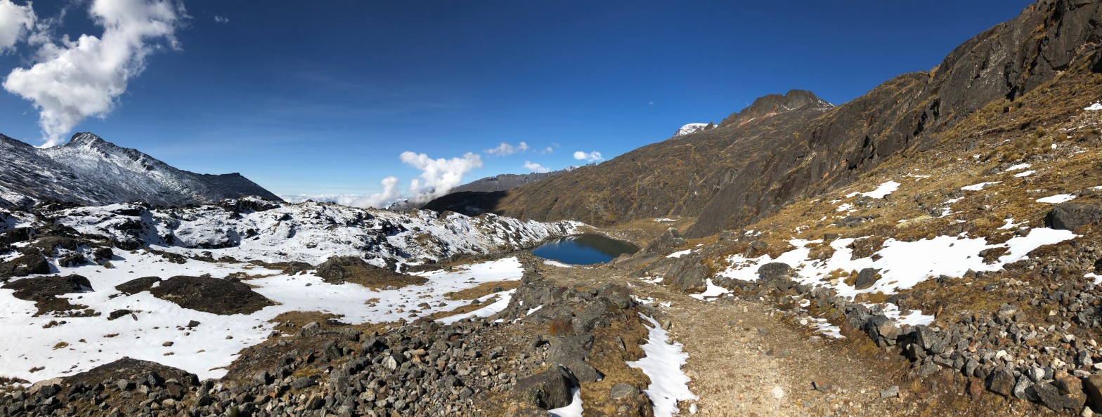
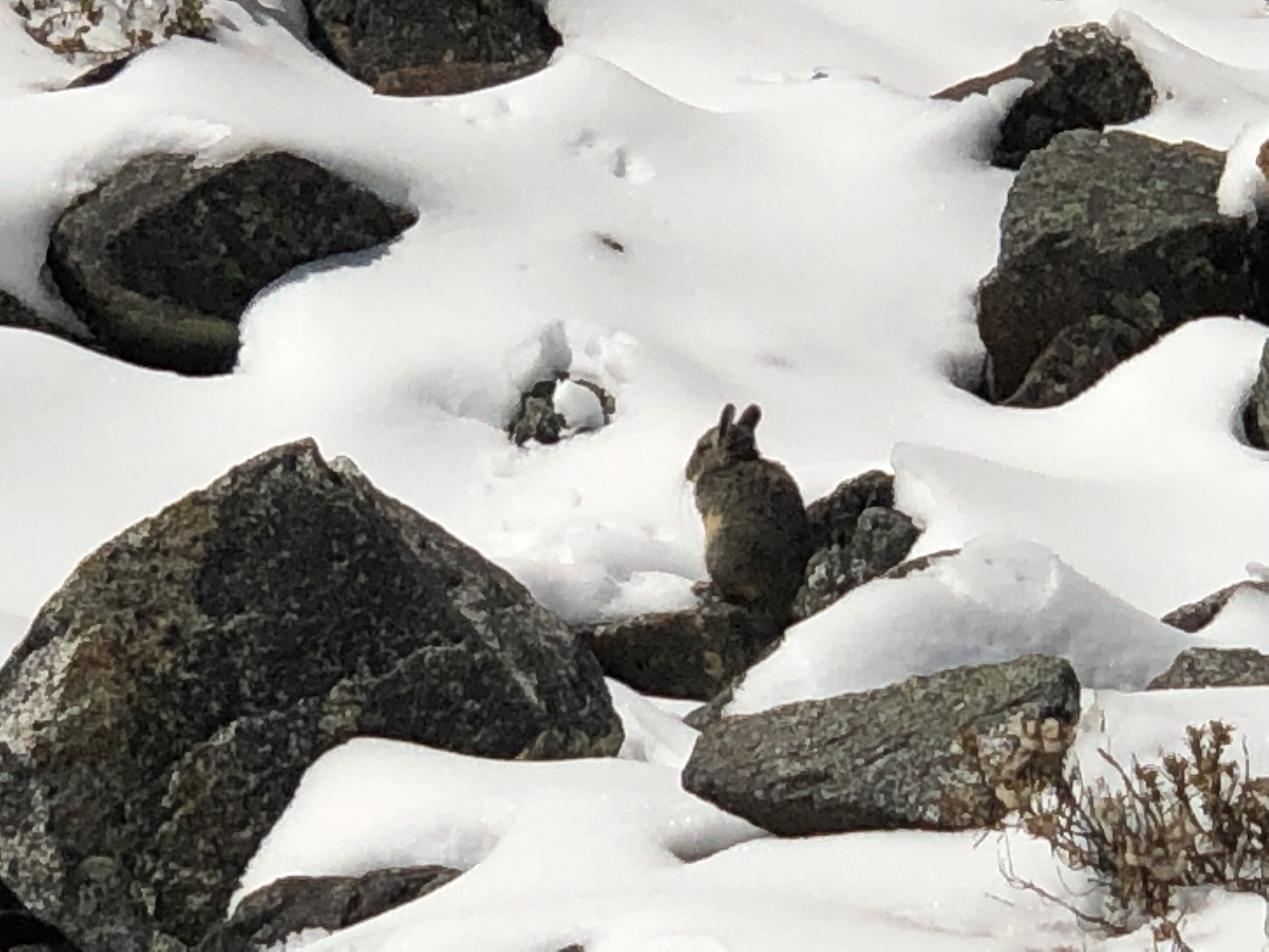
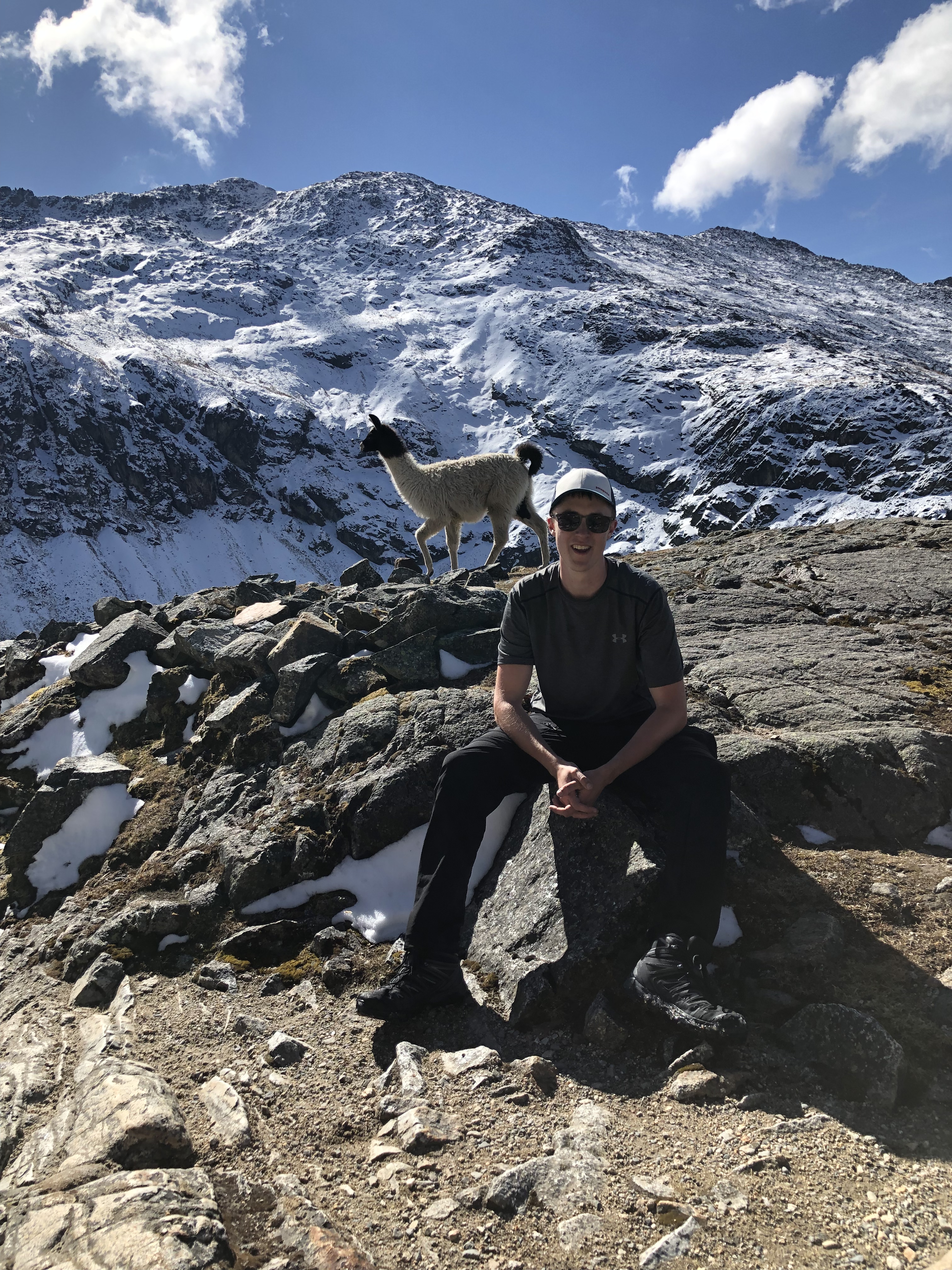
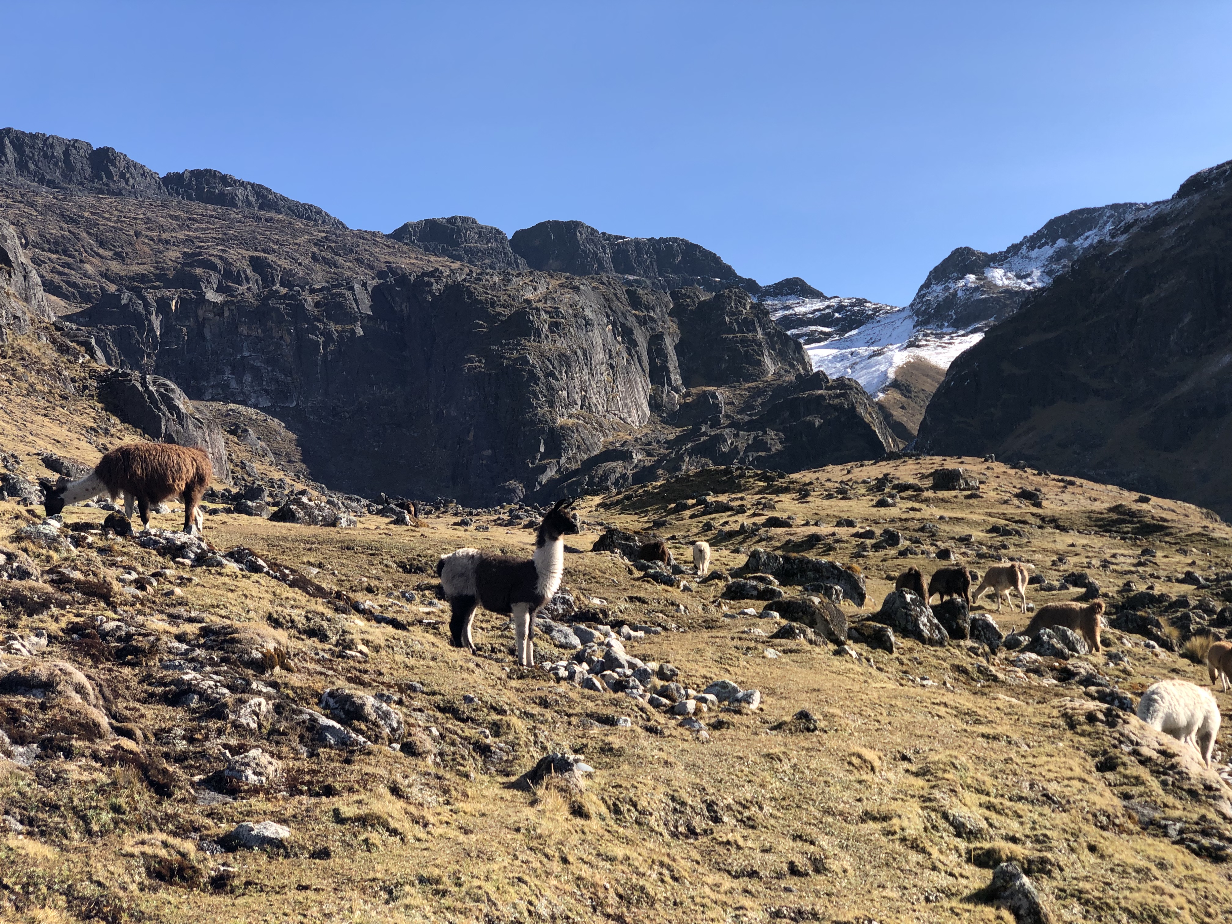
The top of the climb had us going through a foot of snow, where we were greeted by two llamas at the top. After staying at the top for around 20mins, we began the descent.
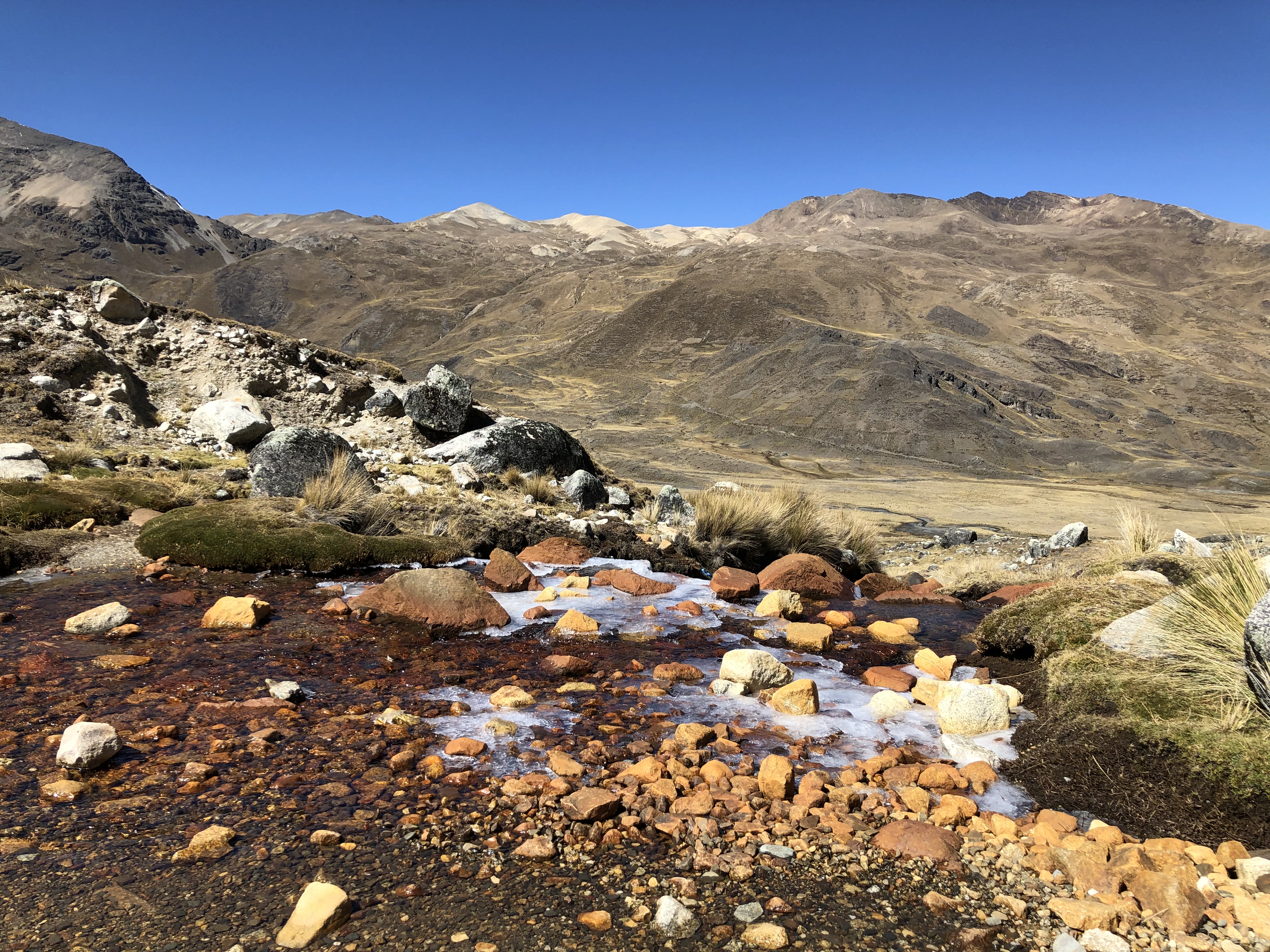
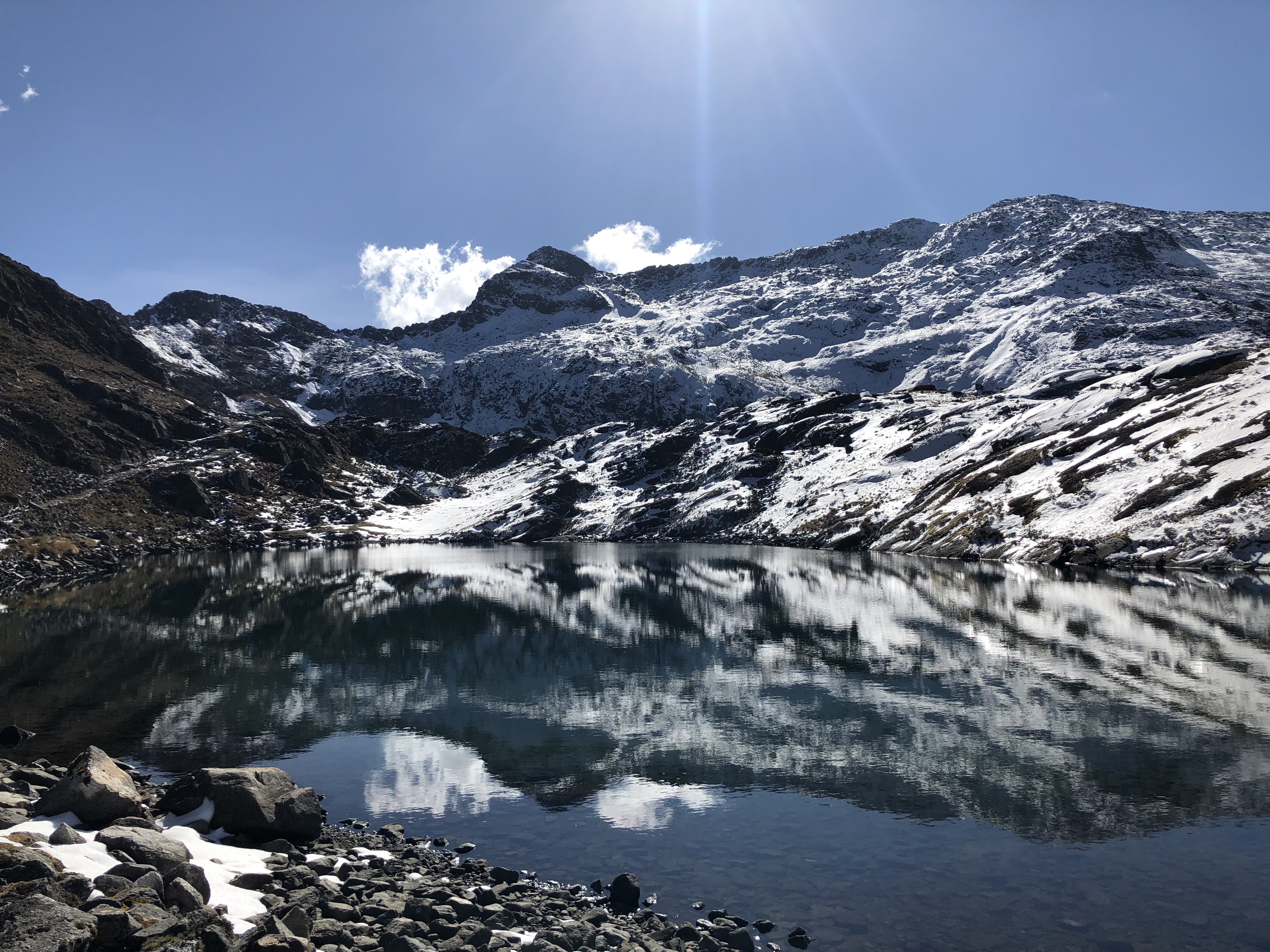
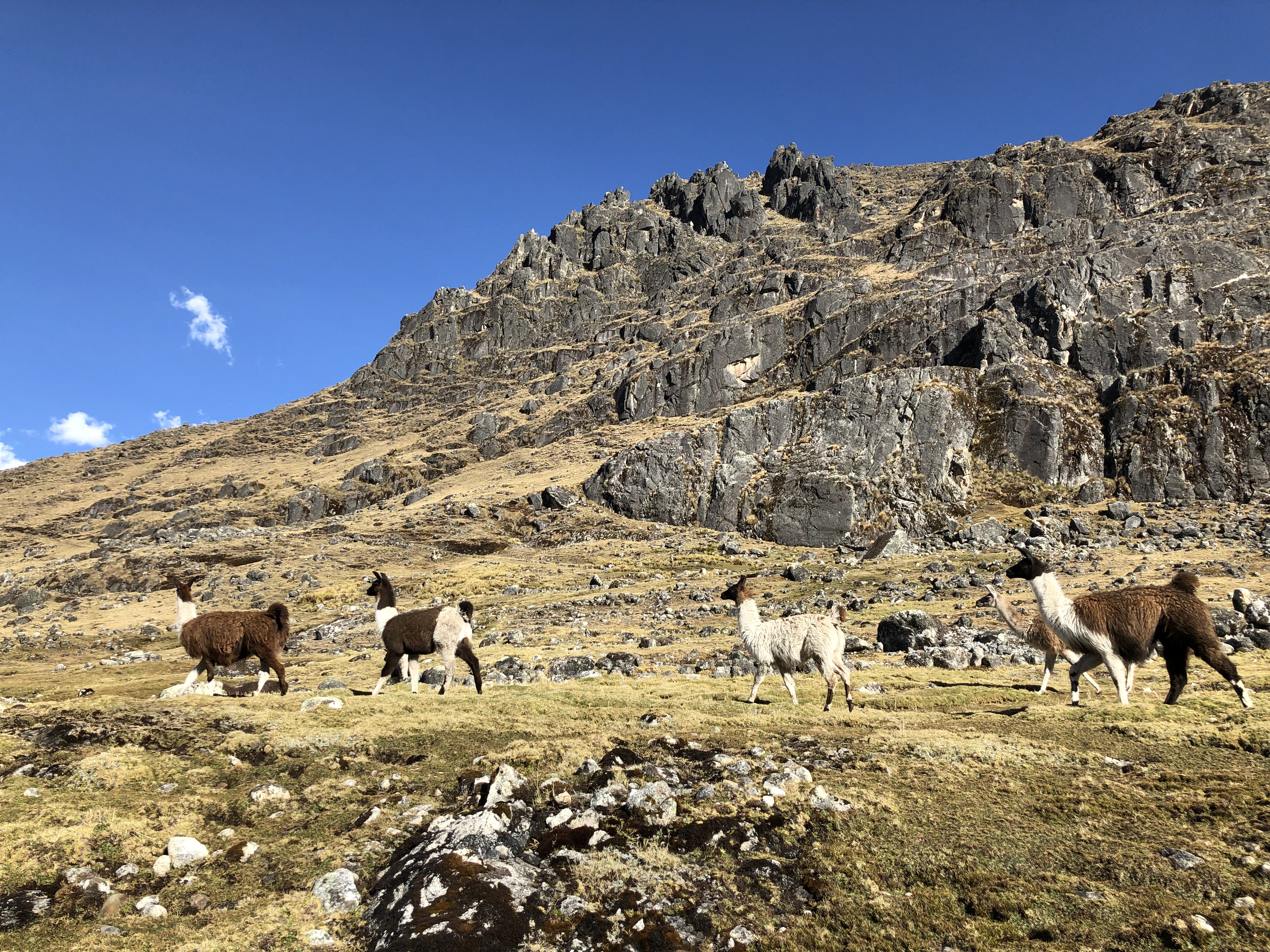
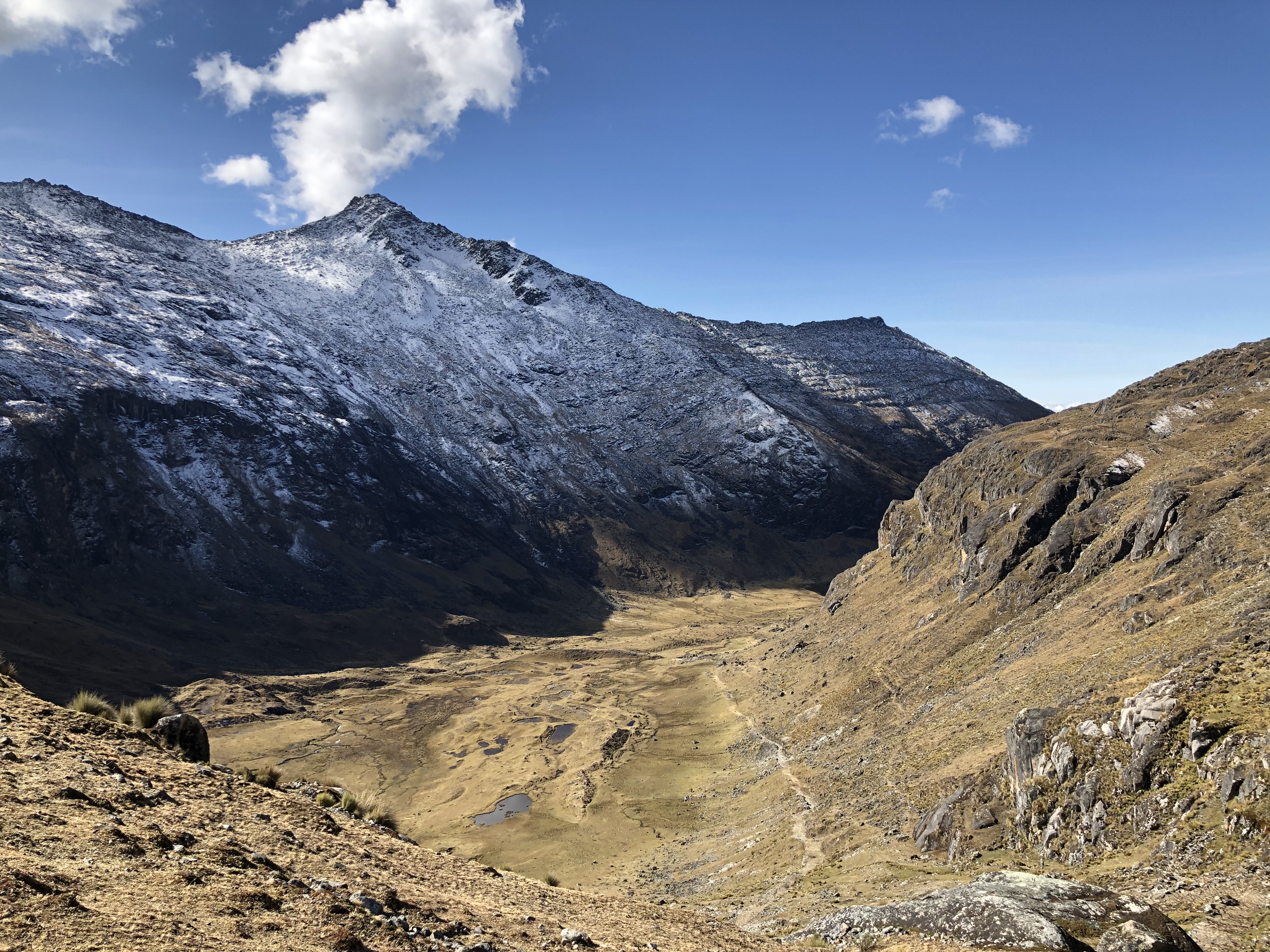
Pretty much the whole hike was downhill now, finishing at around 2000m. There were spectacular views on the descent of the mountains, a lake and the small amount of shrubbery the mountains could sustain at this altitude, that hundreds of llamas and alpacas grazed off.
It was surreal walking through the valley alone following a huge group of llamas.
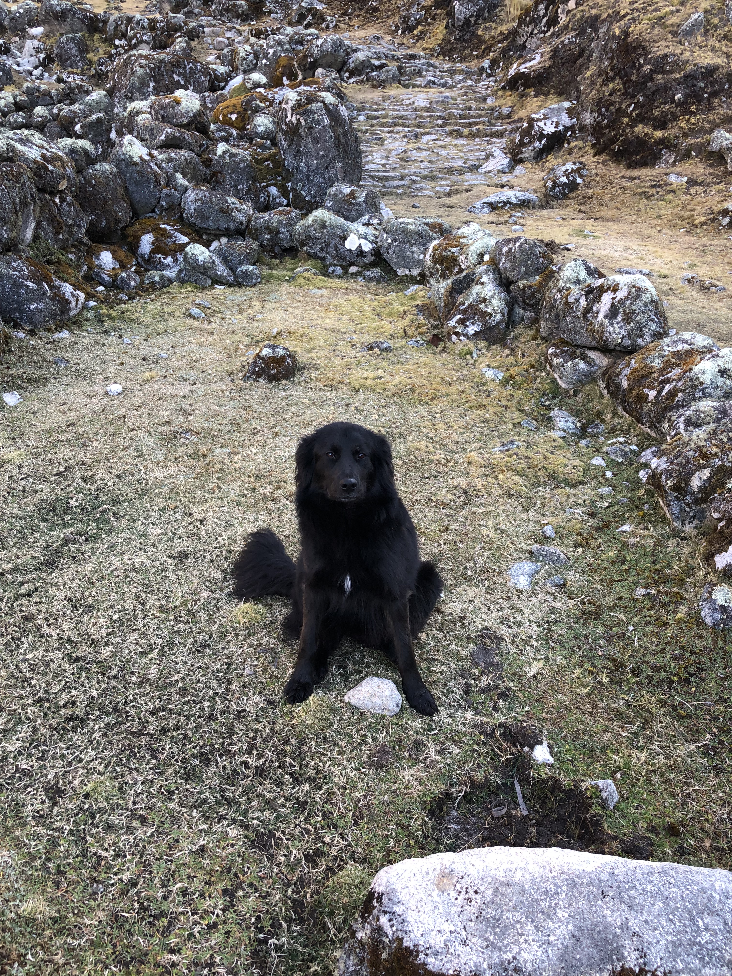
Also saw some large gliding birds. Lyle, Joe and Alex had walked ahead a bit to push on towards the campsite for the night, whilst jodh was a little behind. Without another human in site, a black dog came sprinting at me from the distance with its mouth open. Alone in the Andes, on a trail which isn’t too common (Lyle’s parents did it years ago, and named lyles sister Takesi after the trail, so Lyle knew about the trail and suggested it), I was thinking “The dog is probably nice, most dogs are, but what if it’s not and has rabies or trying to protect the llamas?”. I picked up a rock for the small chance I had to protect myself against a rabid dog. After the dog reached me and wanted nothing more than to be fussed, to my delight and relief, I put the rock down and gave it all the attention it wanted.
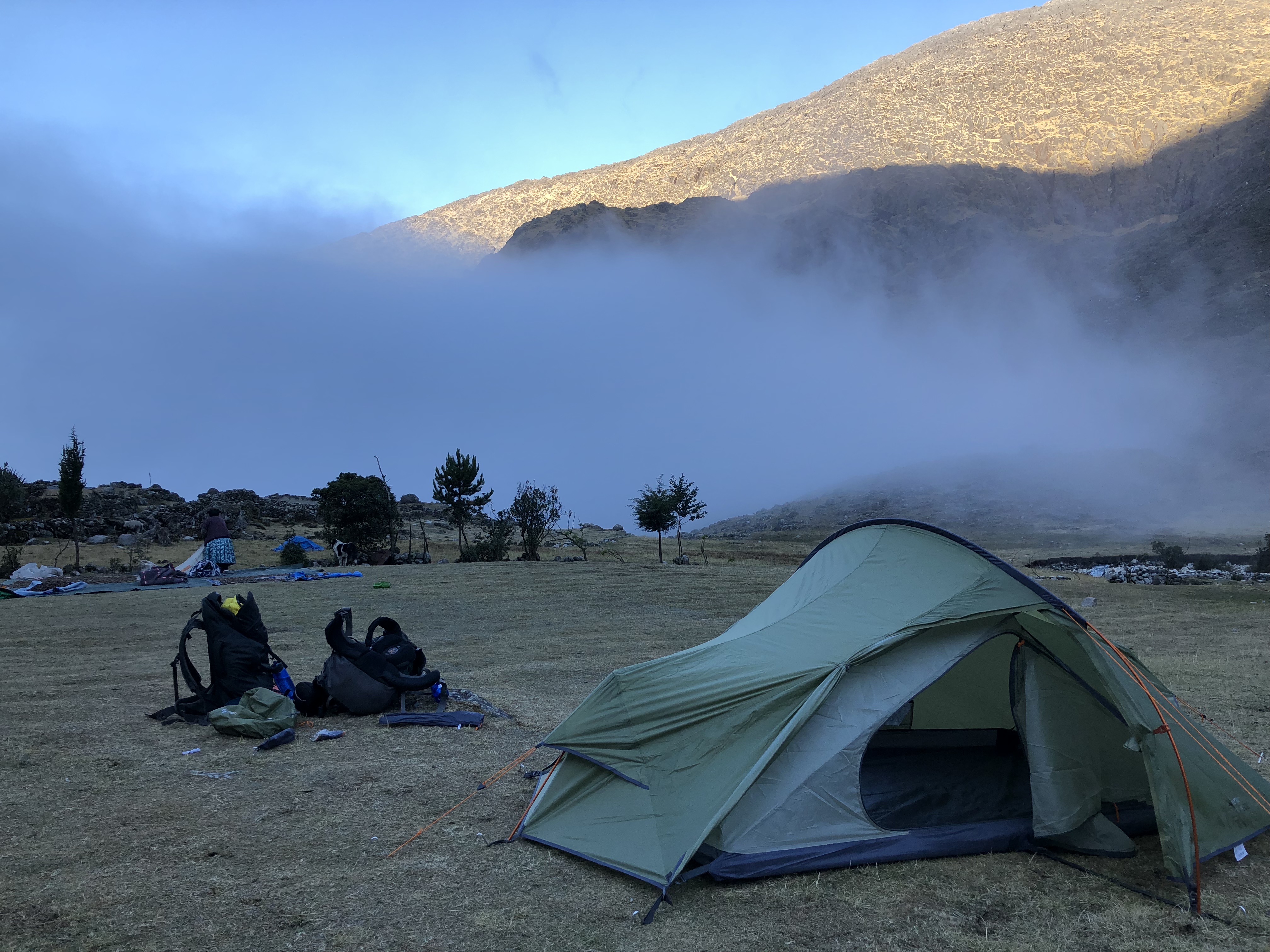
Walking through the valley down towards the clouds, I arrived at the small hamlet of takesi, where Joe, Lyle and Alex had started putting up the tents. The family who lived here had a very nice collie who their small (maybe 3 or 4 year old) son and daughter were just running round playing with for several hours until about 9pm.
We were cooked some rice and vegetables for dinner by the family. The stars were amazing – ~4000m up, no clouds, no light pollution.
The next morning we got up at about 7am to make porridge, pack up camp and head off. The kids were already out at this time playing with the dog, as well as the black dog I had met the day before! – Not a bad life running around in the hills with dogs all day! The black dog had taken a liking to us, and followed us for the first 20mins or so of the descent.
The hike was meant to be 2-3 days, but we thought we would try push on and make it 2 days, and be back at the hostel where Niall was. We covered 12k in the first day, with a tough ascent, and had 22k to do in the second day, majority being downhill.
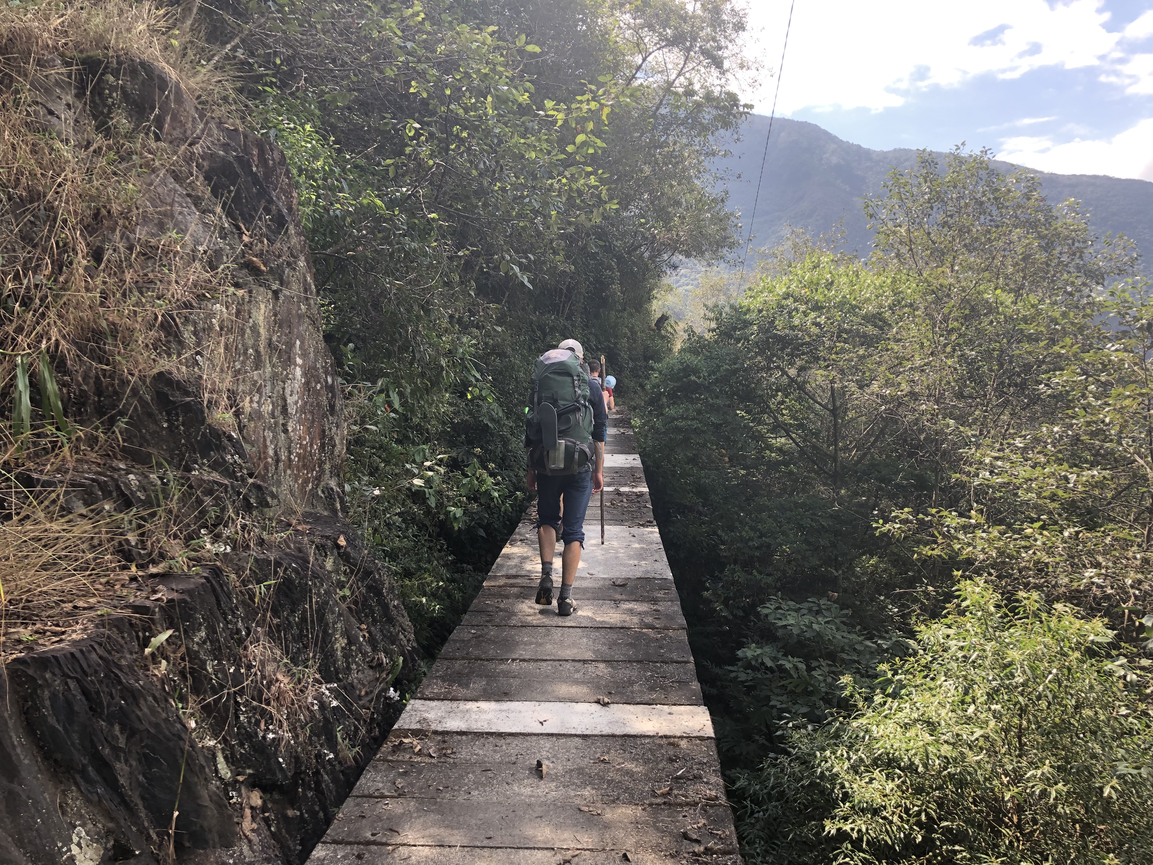
After walking through cloud, as we began losing altitude the scenery started to change, with the mountains supporting forest. We walked along paths on the edge of the mountain, taking in the views. There were a couple of small farms/houses we passed way up in the hills – it made me think of how much effort it would have took to get the materials up there to build.
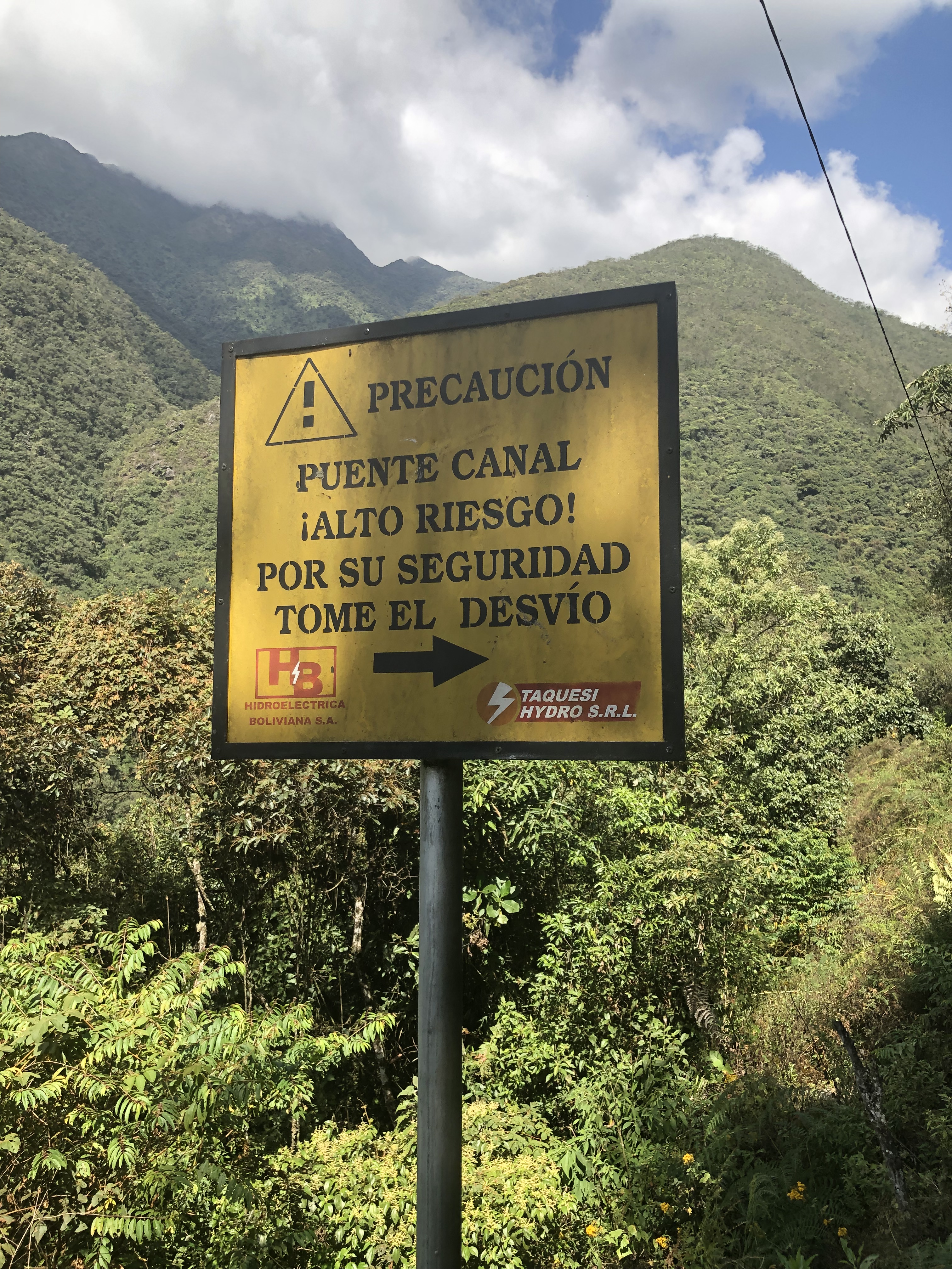
We crossed a concrete bridge, which, on the other side had a sign which in Spanish said “Bridge high risk, for your security take diversion”… oops.
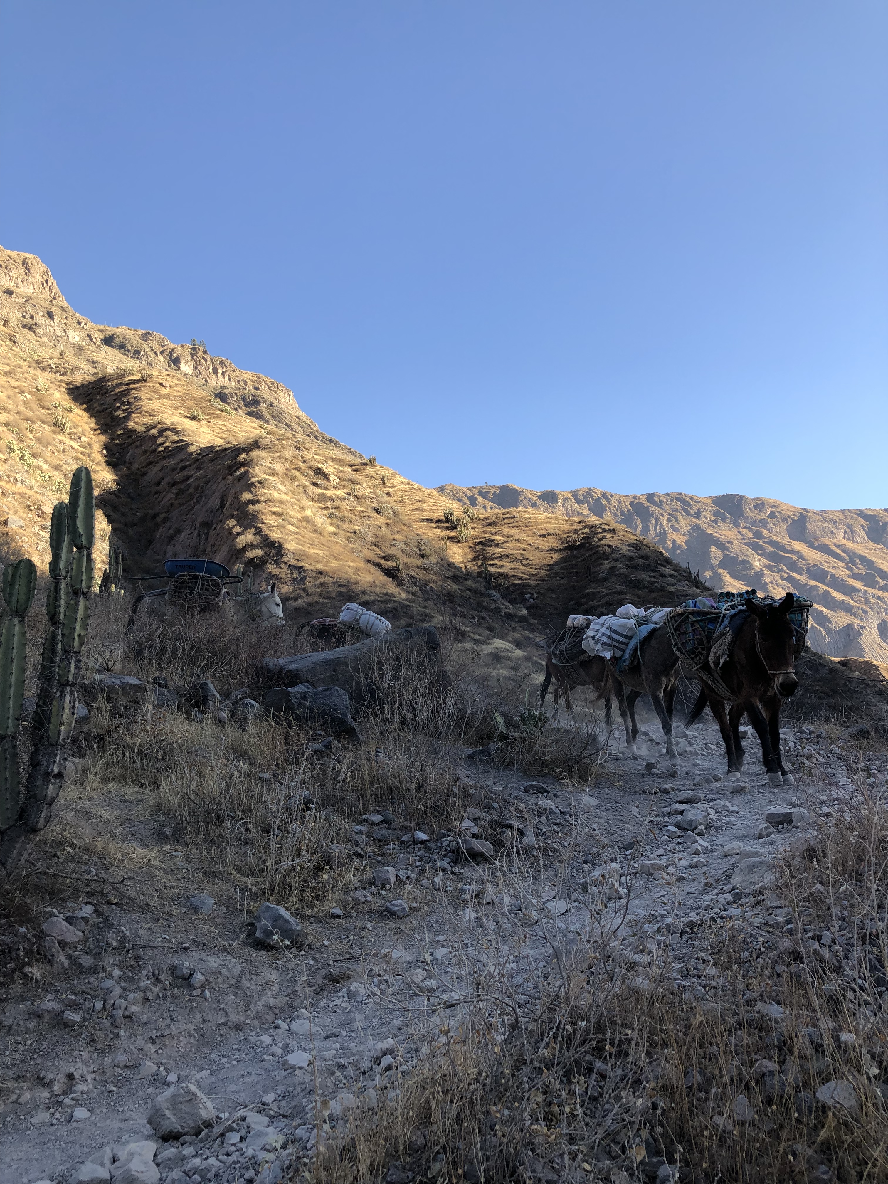
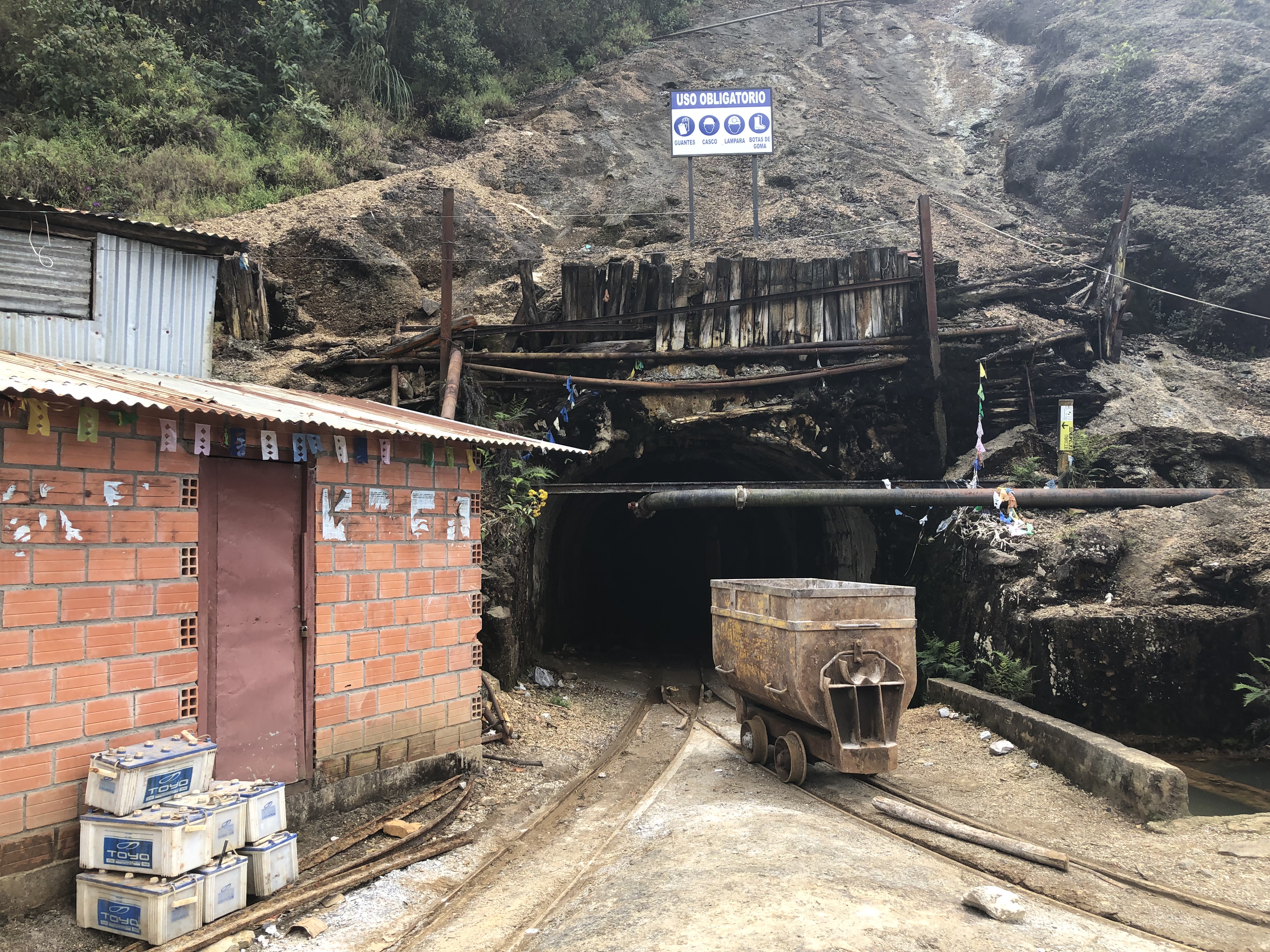
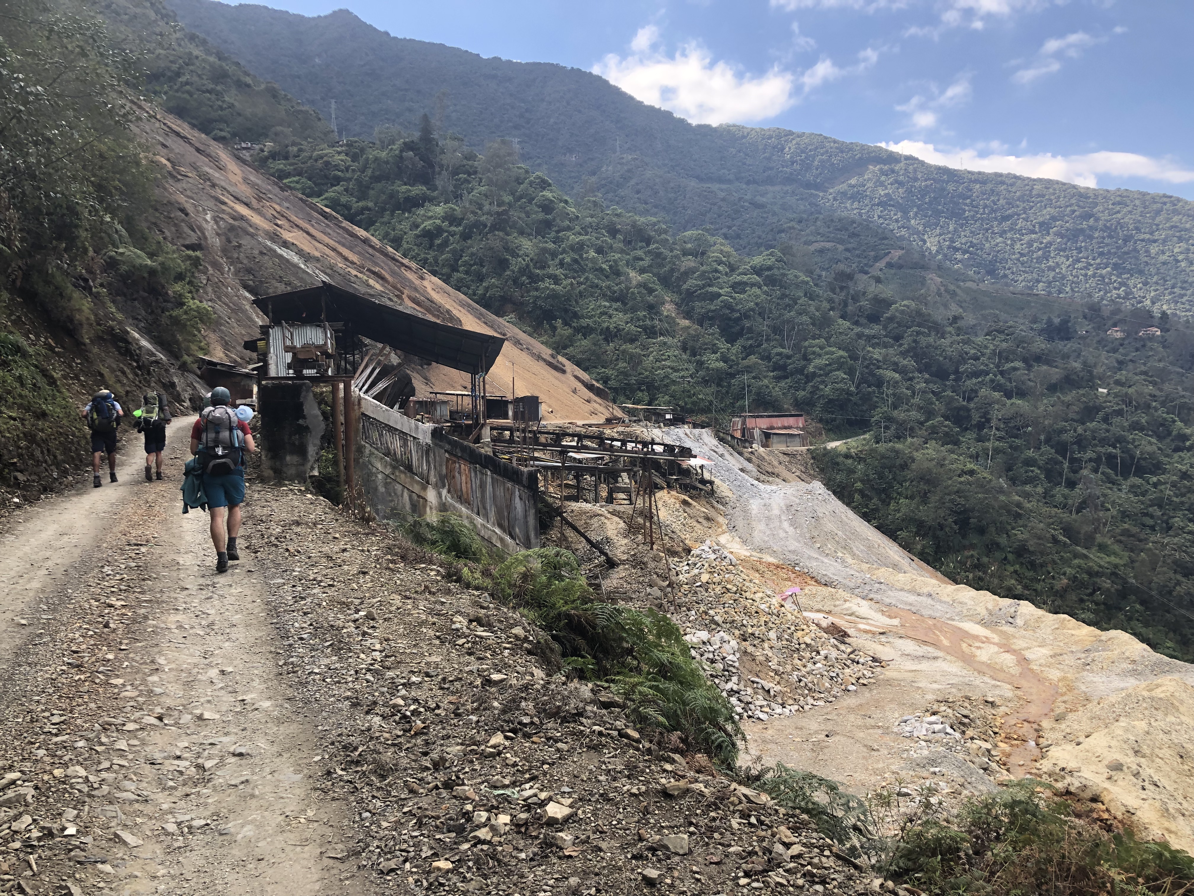
Later on we walked past a big mine, I took a few pictures, before a security guard told us not to take pictures – maybe I’ll steal their top secret mining trade secrets!
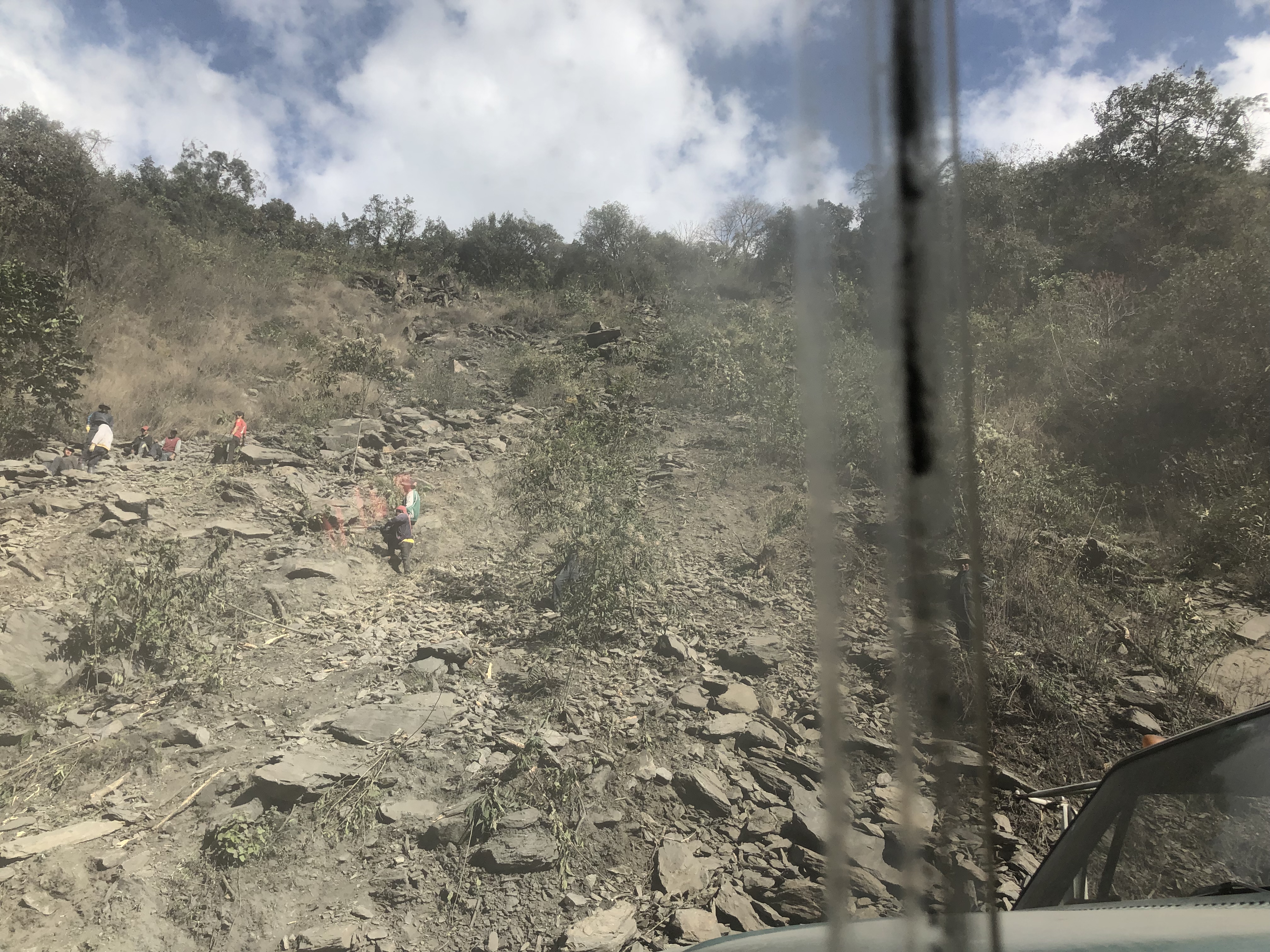
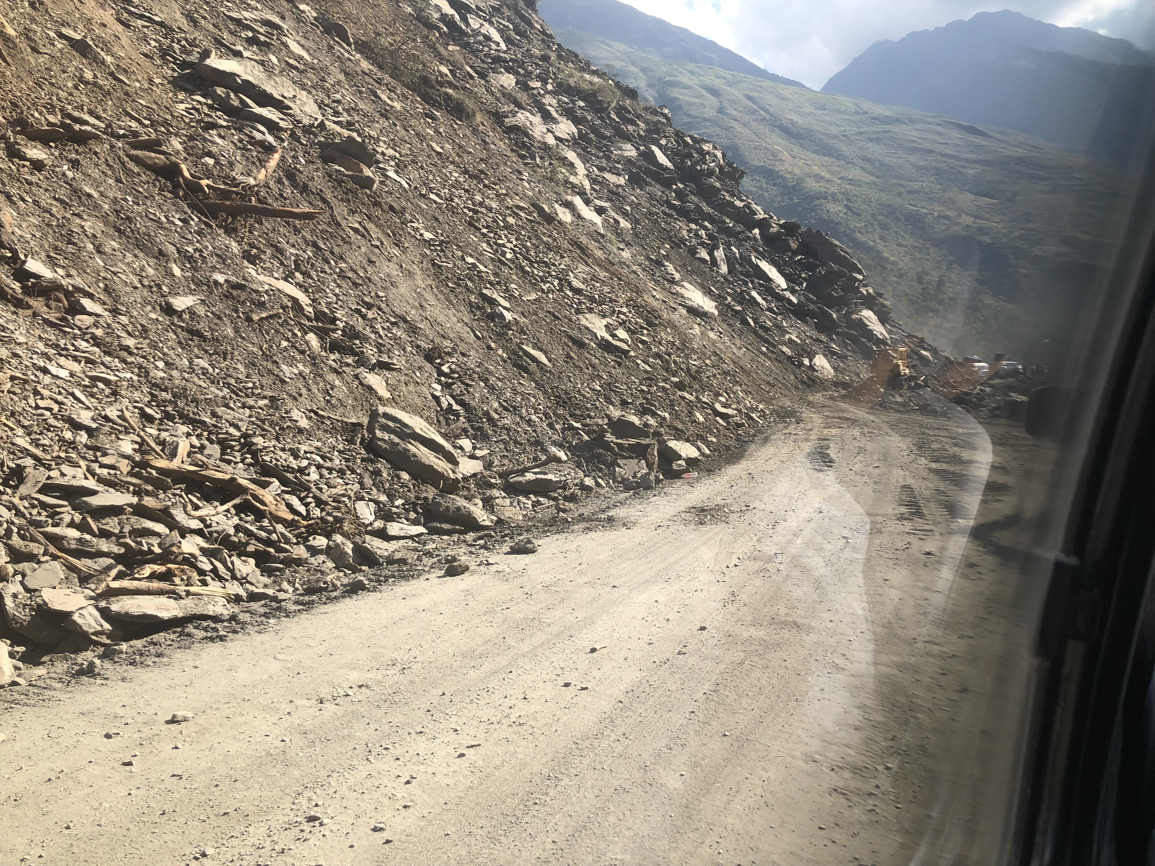
After walking 22km for the day, we reached yanacachi where we got a collectiva back to la Paz. The journey back was on small windy mountain roads, passing many landslides. One of which was recent and we had to wait whilst big diggers cleared up the rocks so we could pass.
We opted not to bother with Bolivia’s “Death Road” – we felt we had already been on death roads, just not the one officially allocated for tourists to go to! We arrived back at the hostel (wild rover hostel la Paz), and Niall had recovered fine.
After staying in Lima for a day and a half, we flew to La Paz, the capital of bolivia, which at ~3600m is the highest altitude capital city in the world. The logic in doing this is that the others all have return flights from Lima, Jodh and Niall in 4 weeks time, Lyle, Joe and Alex in 6 weeks time. Me, who knows! It makes more sense for us to work back towards Lima in these 4 weeks rather than travel many miles in a circle.
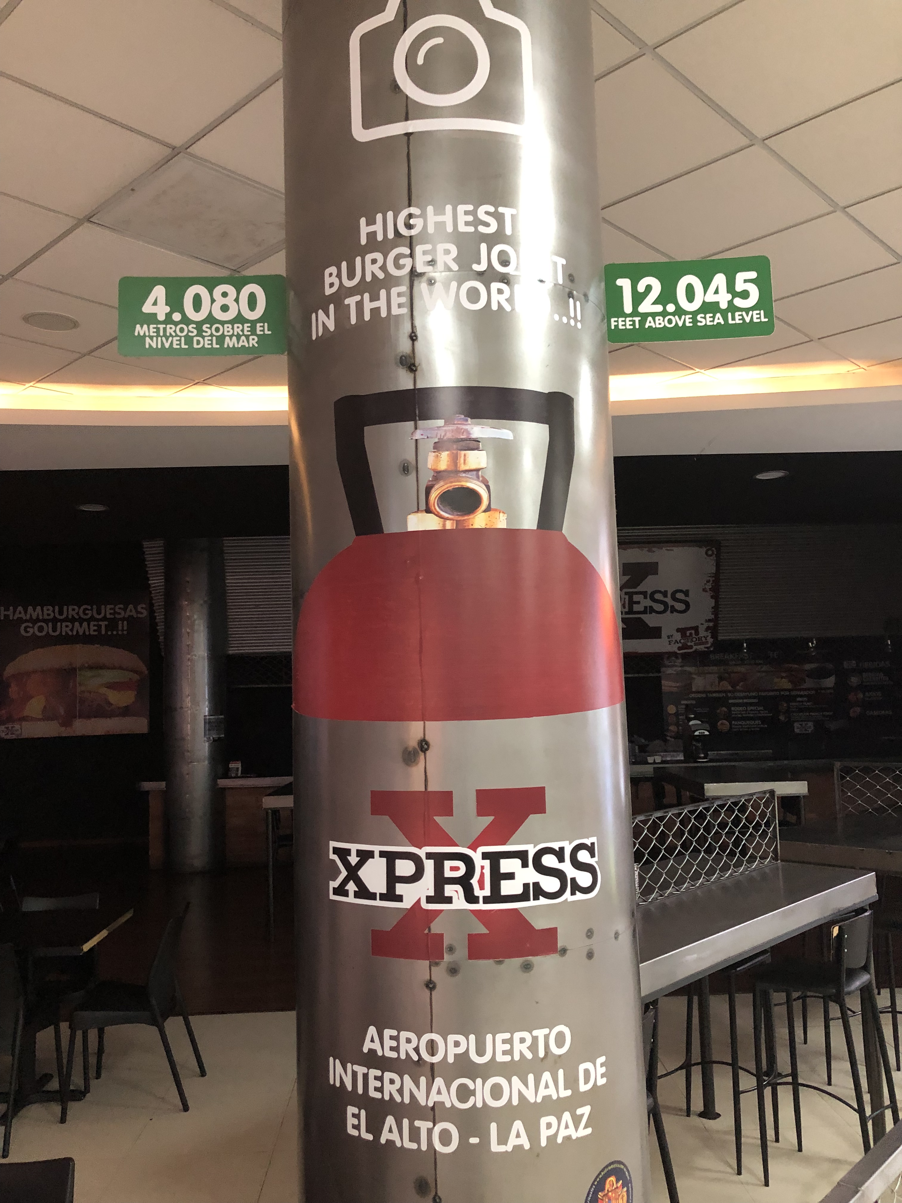
Upon arriving at la Paz airport (which contains the highest altitude burger joint in the world), we were offered a taxi, which we accepted, before finding out it was a normal 5 seater car, to fit the driver, the 6 of us, and all our bags… 2 in the passenger seat and 4 in the back lead to one of the funniest, and most uncomfortable car journeys to date. After being dropped off we tackled a 10m long small incline to the hostel, which due to not being acclimatised to the altitude at all was actually quite difficult!
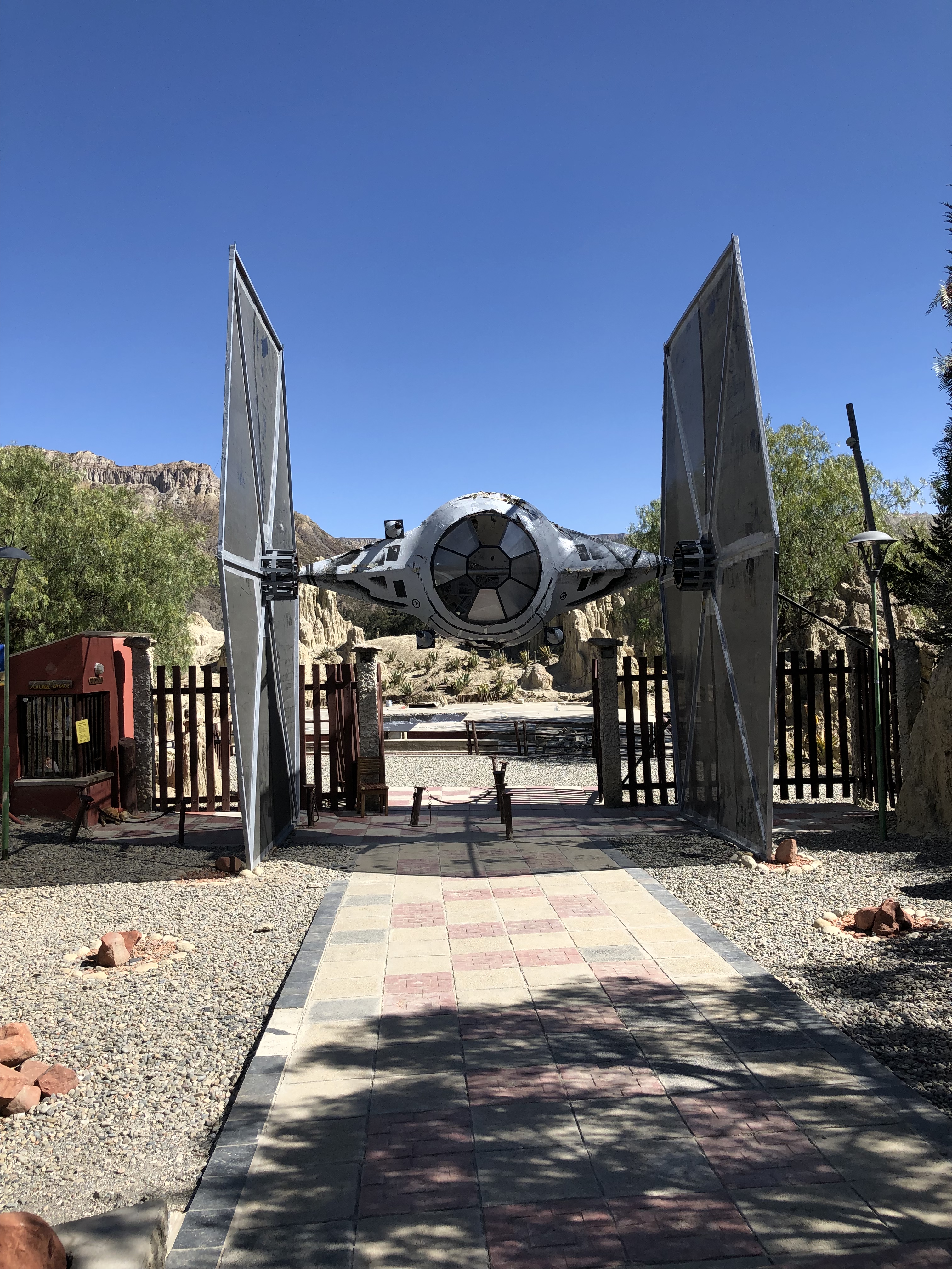
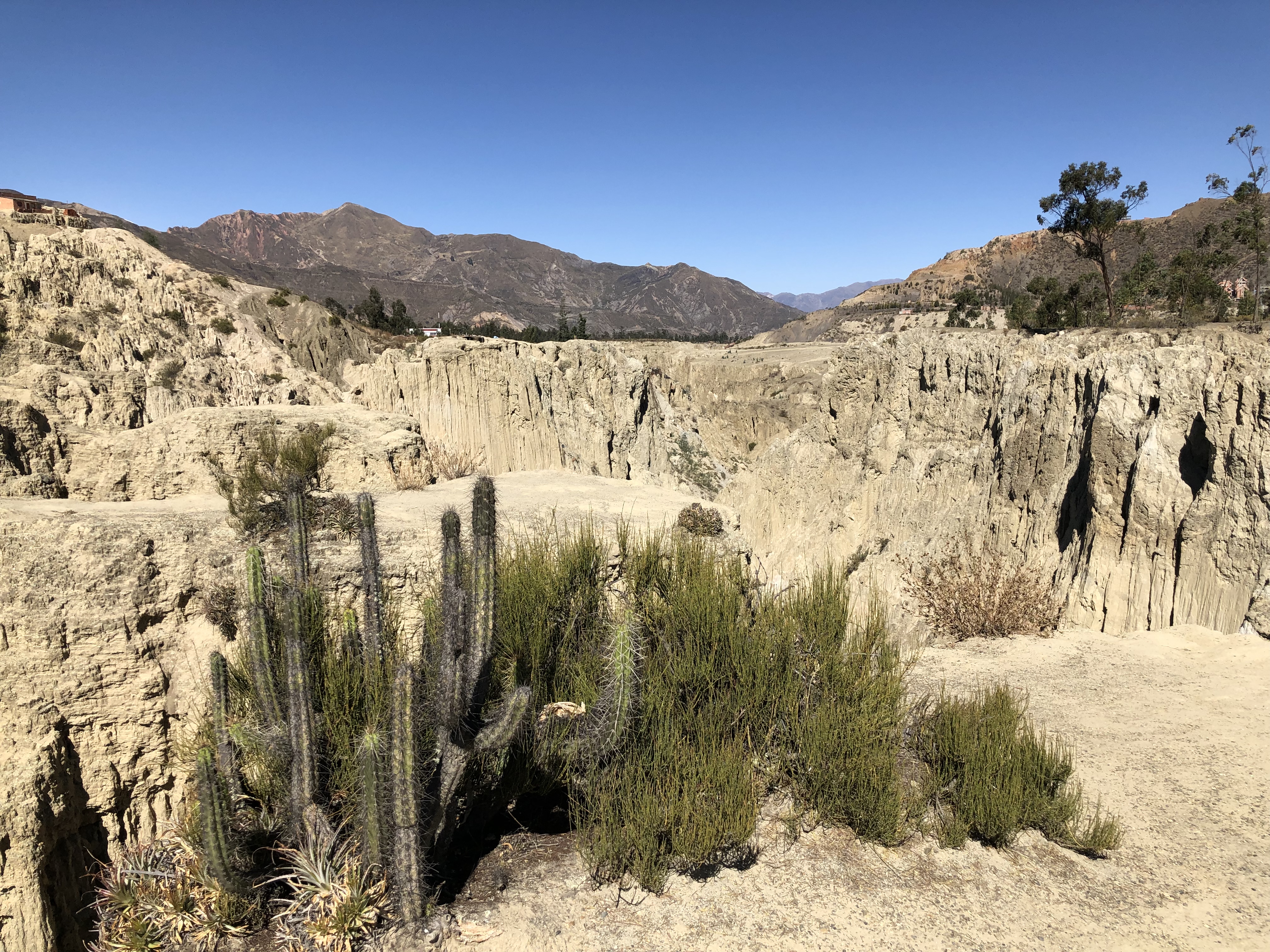
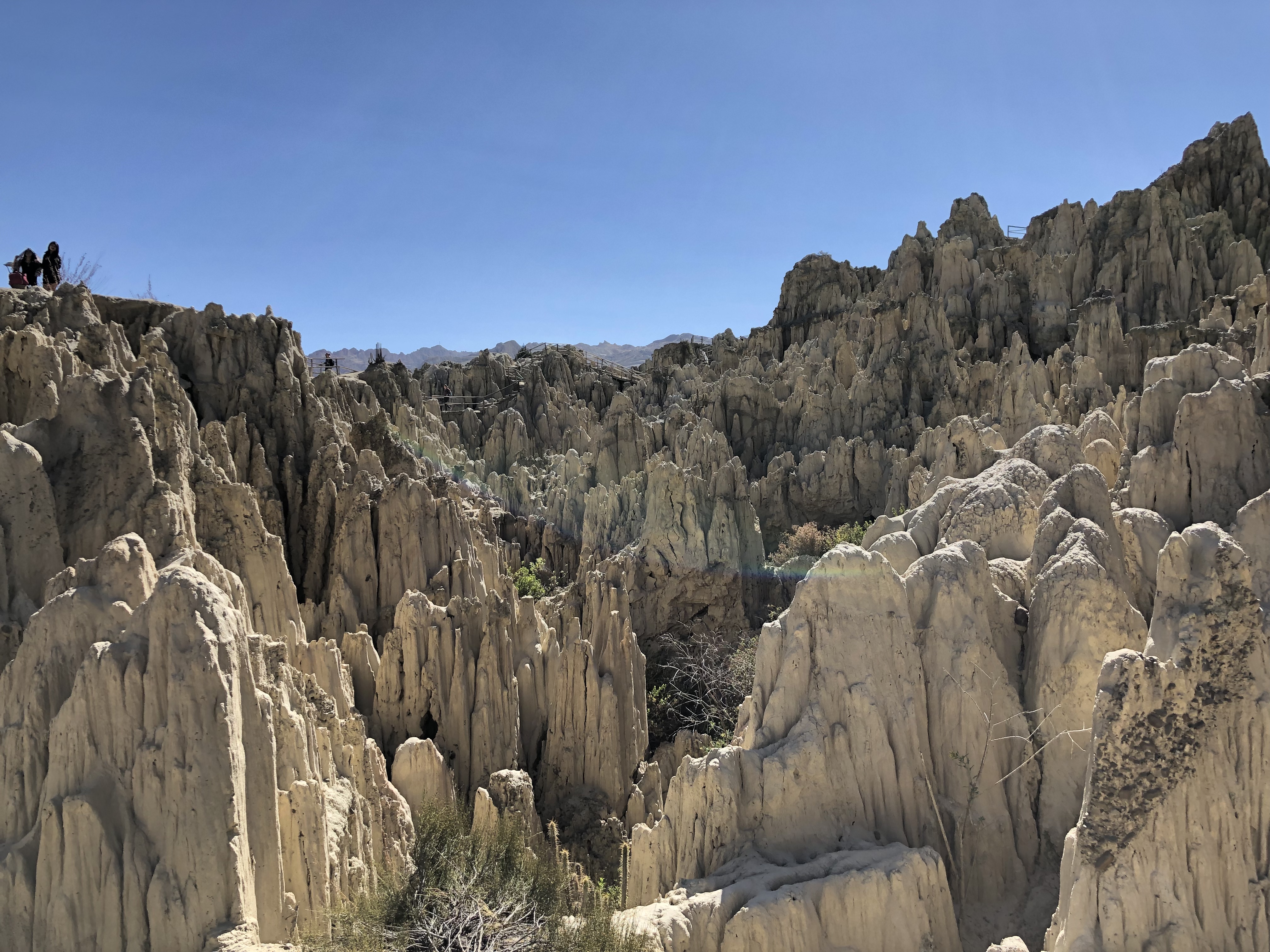
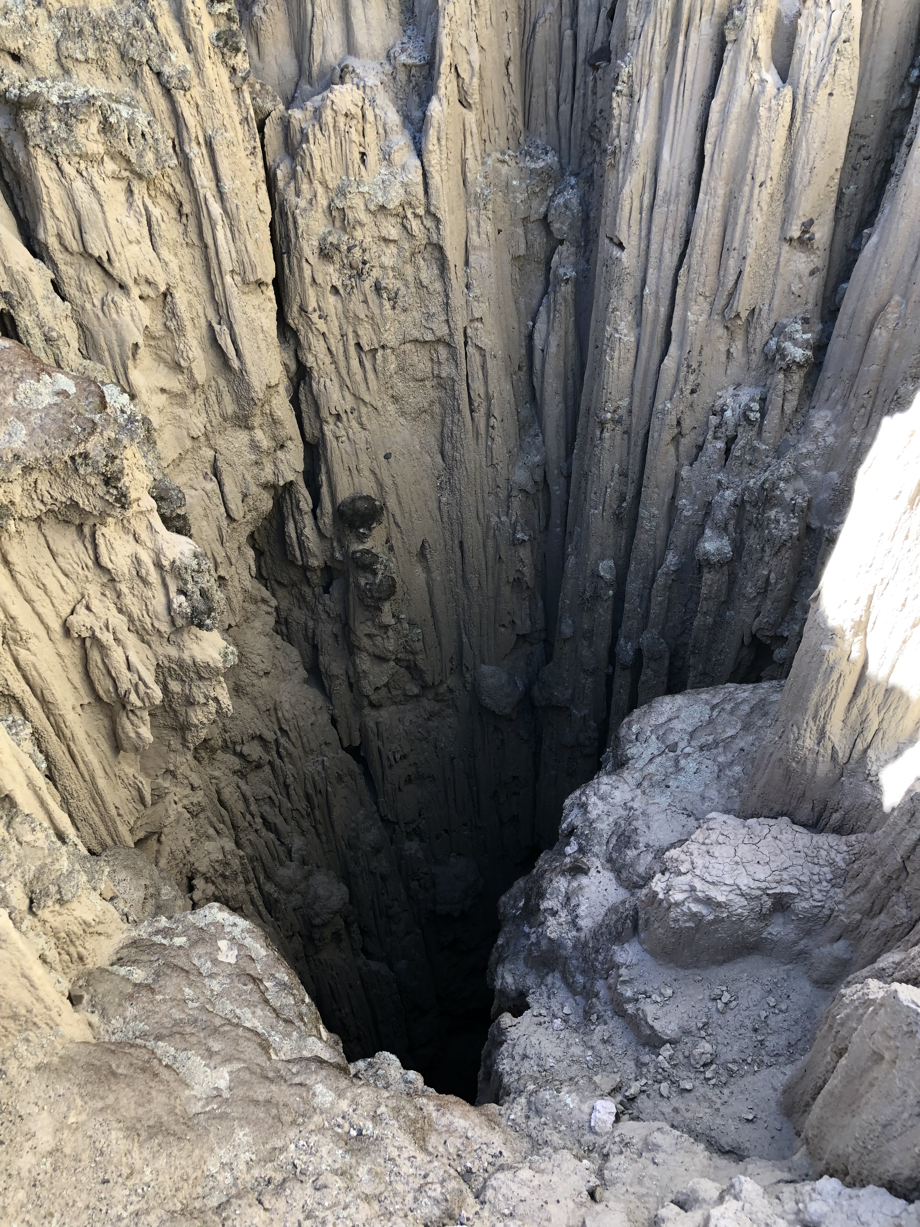
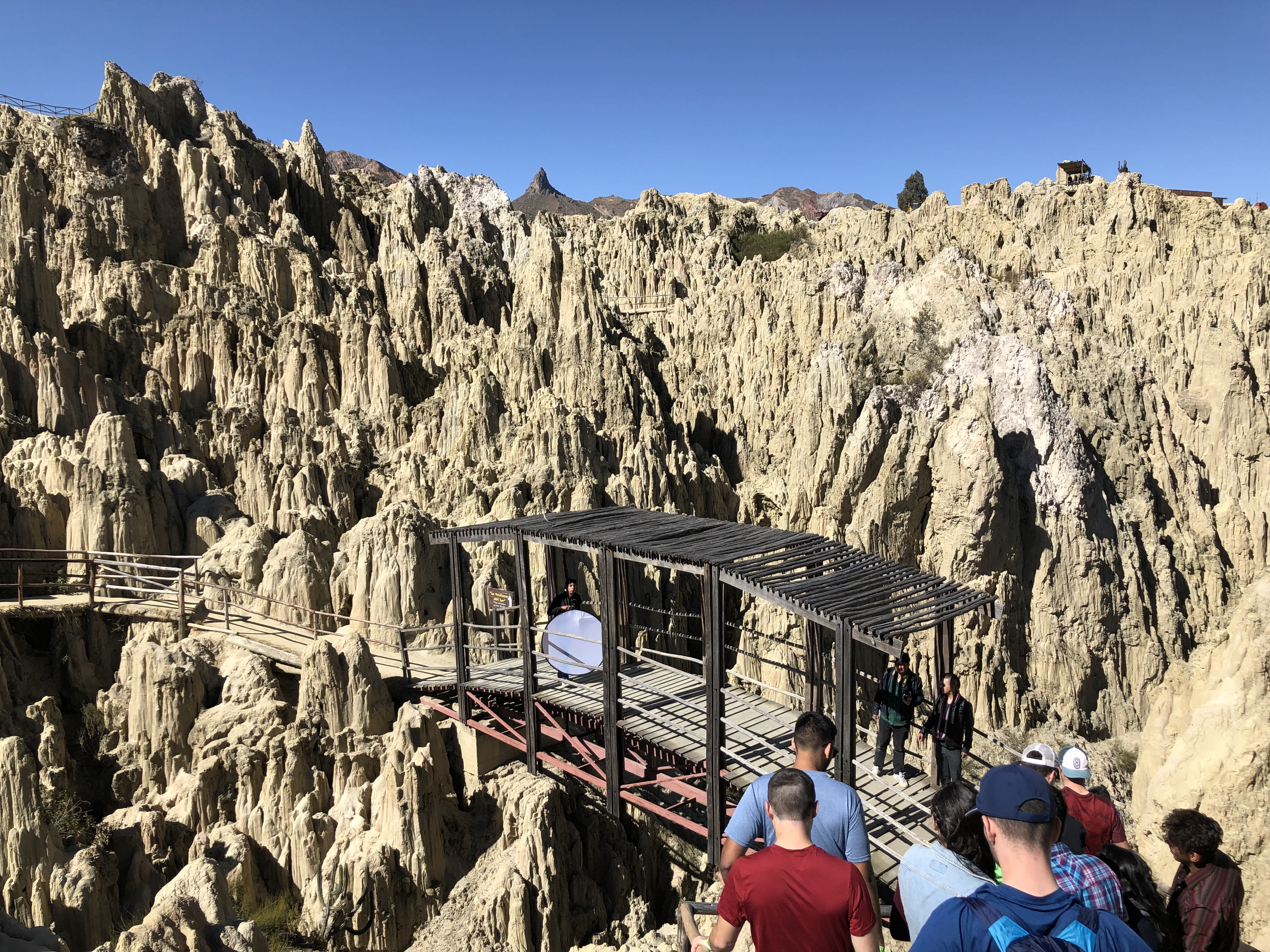
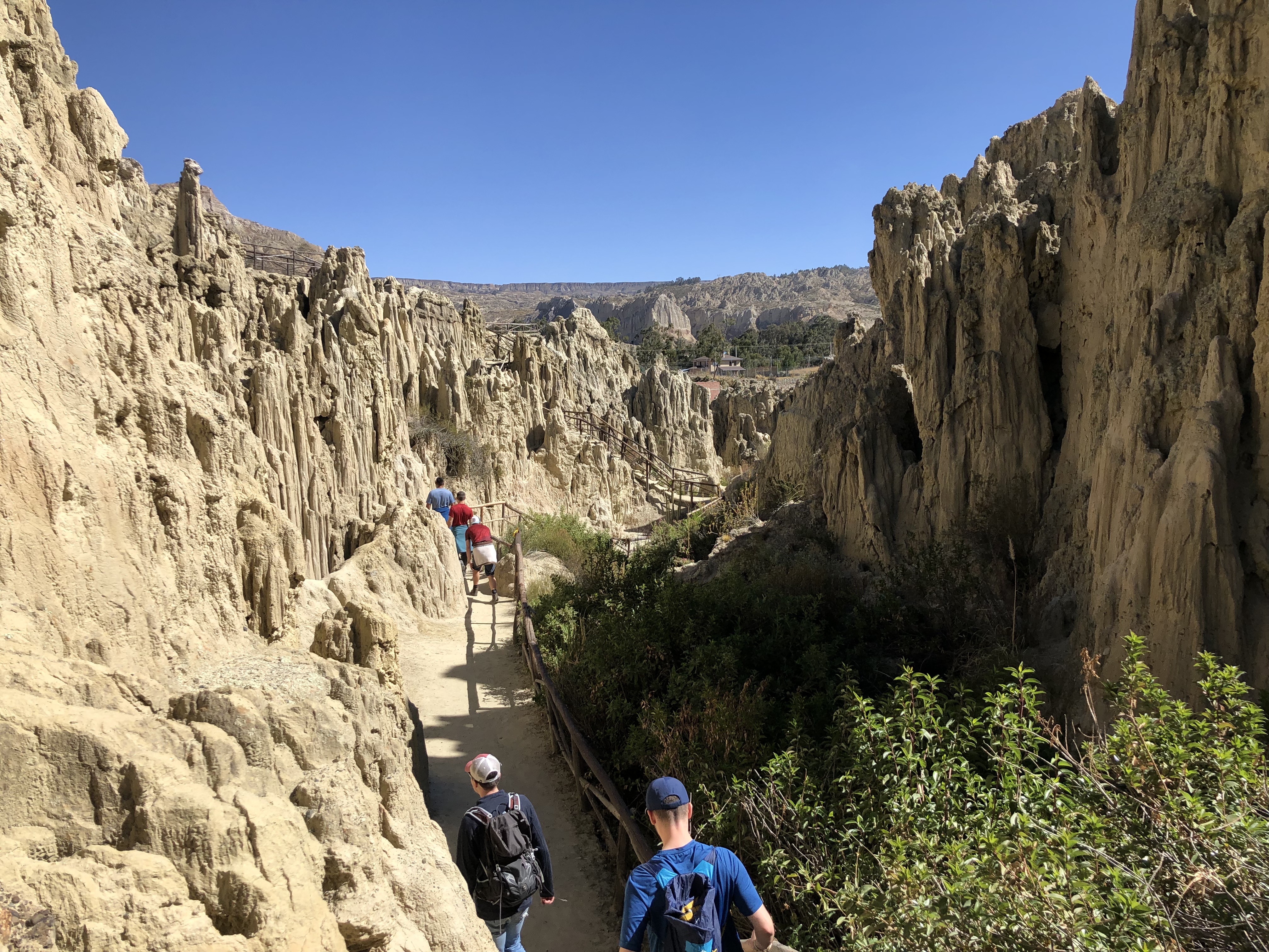
The next day we began to explore la Paz via cable car, providing excellent views and also just had a wander about. We all tried to take it easy and acclimatise, most of us having headaches and finding it hard to breathe. The day after we went to Valle de lune, which was a site with strange rock formations formed due to rain on extremely soft rock.
On the evening, feeling much better with the altitude, we prepared for our first trek.
Arrived in Lima 22/07/19, looked like lost tourists (which would be accurate) trying to get a taxi from the airport, wandering round in circles.
Got to the hostel (mamas backpacking hostel) and went out for tea. Lyle ate an airport (was a meal called aeropuerto something – still no idea why!).
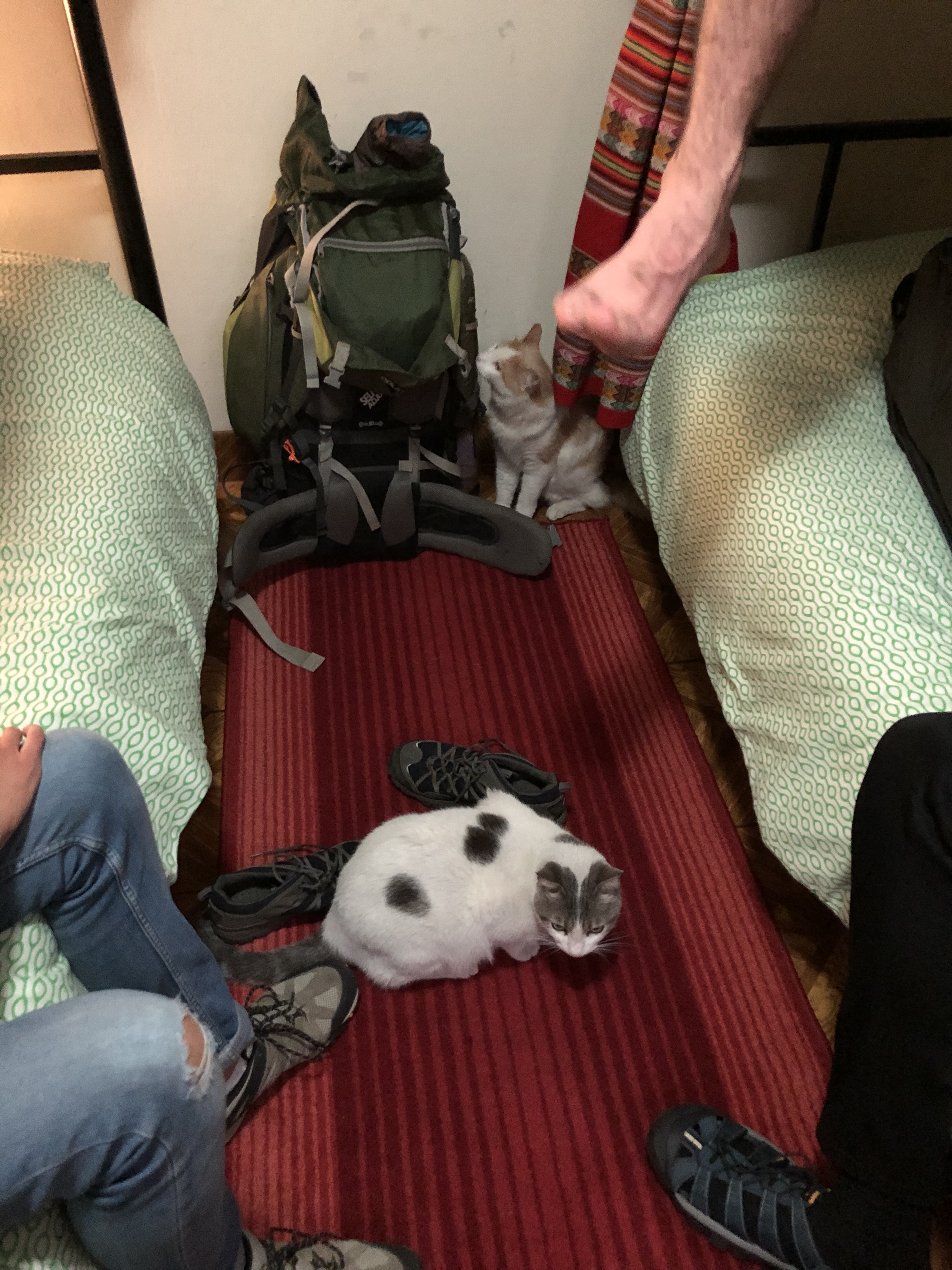
The hostel had 5 cats, 2 of which liked coming in our room at any opportunity, one which wouldn’t leave us alone the whole time we were there. We played with it, and it scratched Lyle and Niall and gave them rabies (maybe not).
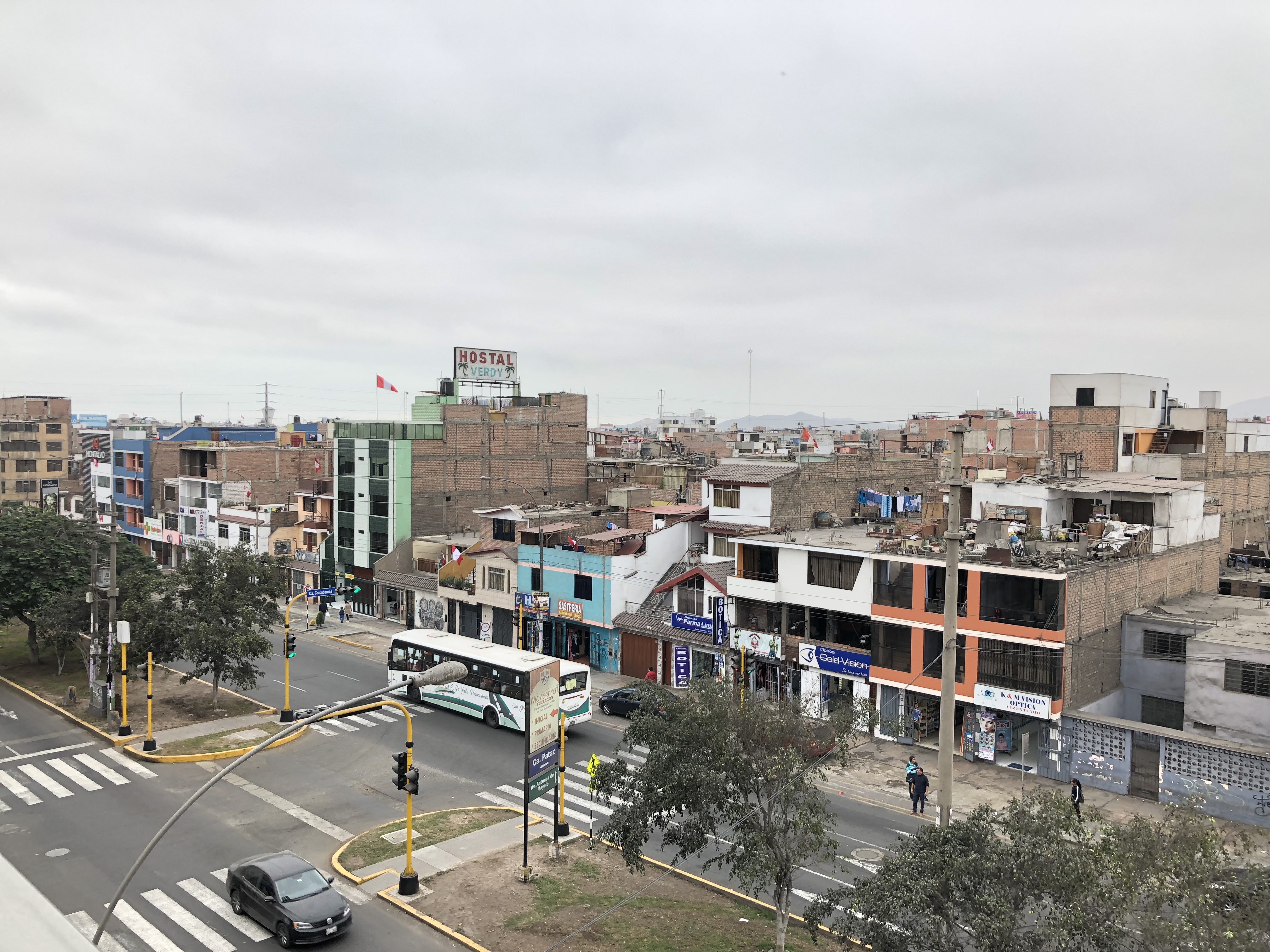
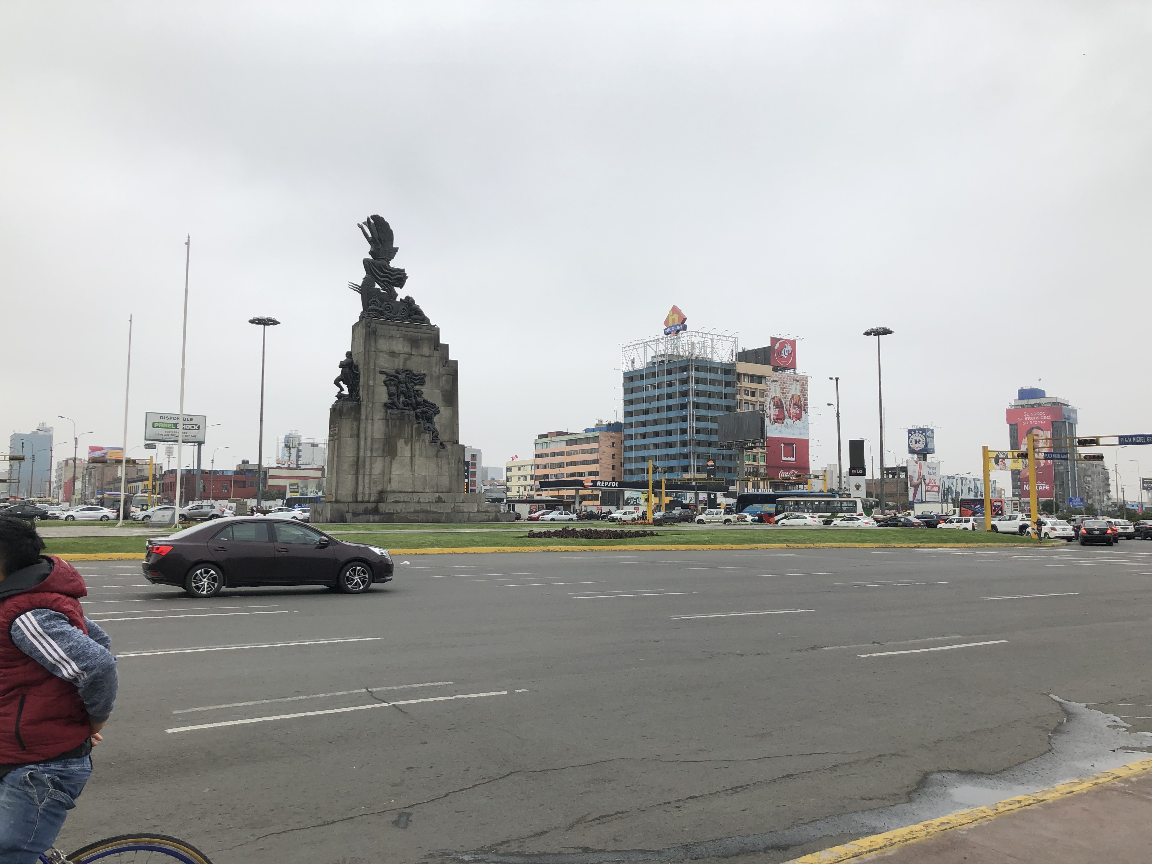
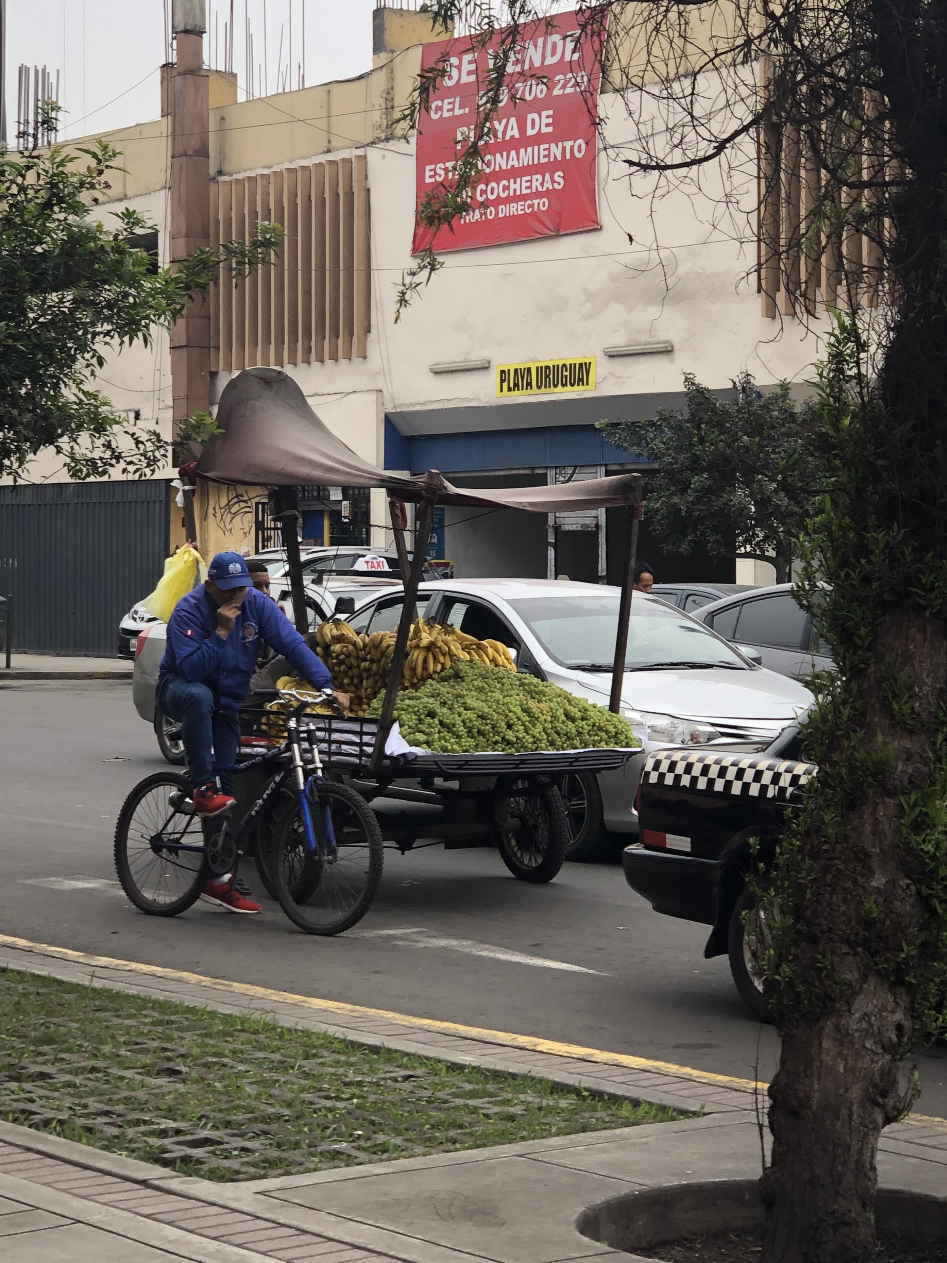
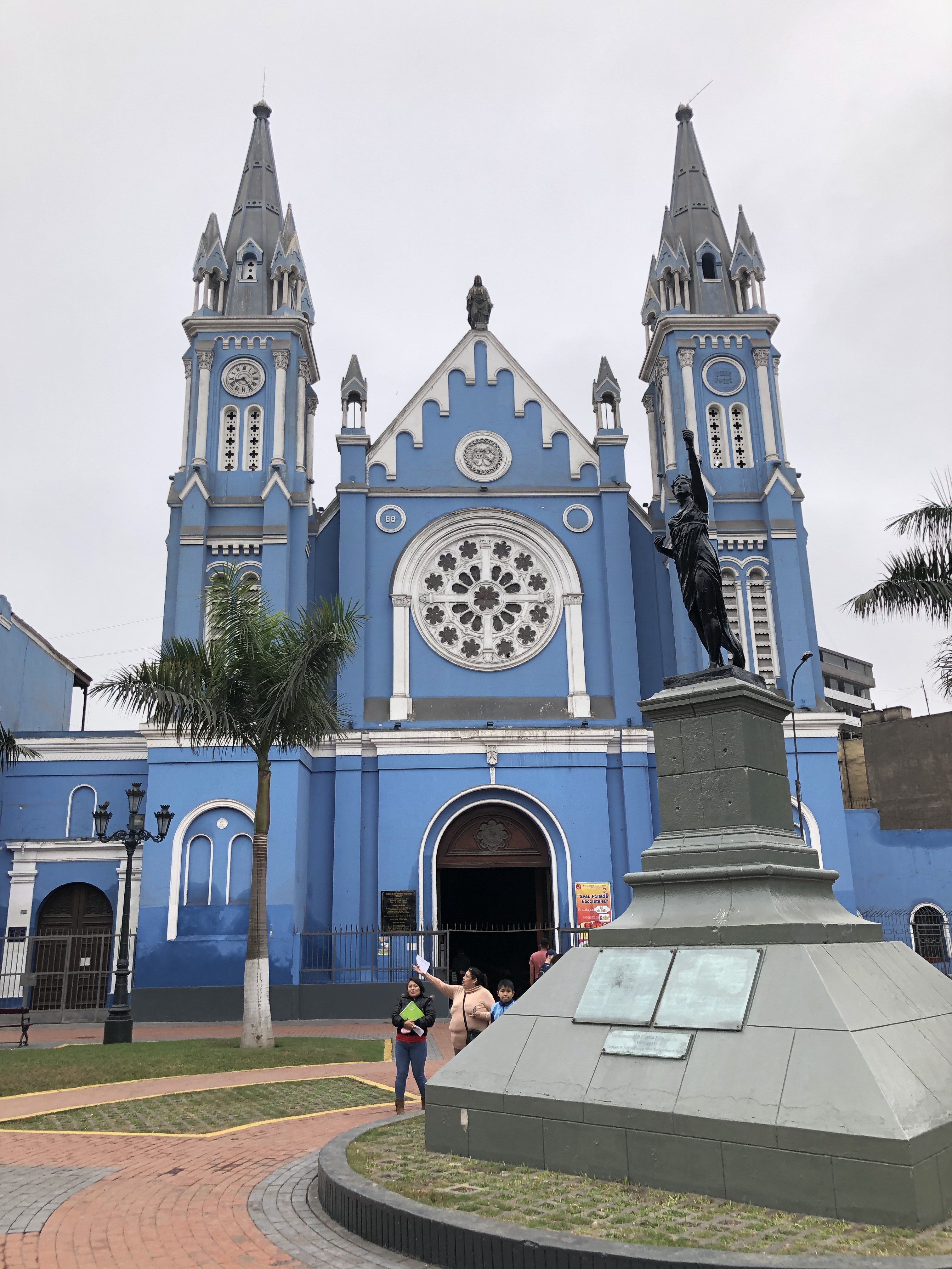
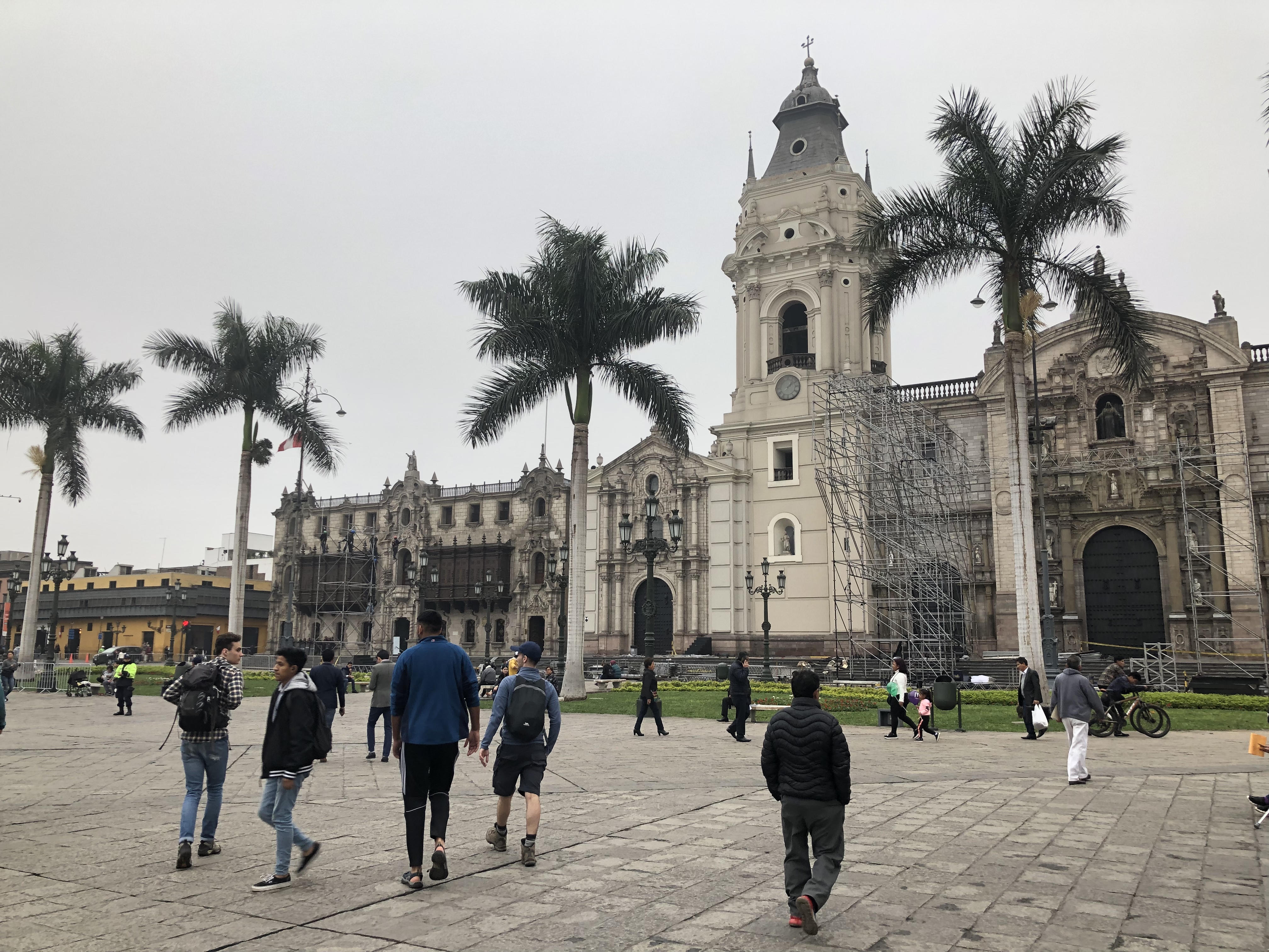
The next day we wandered about Lima, saw a few cool buildings and went to a big square, where we saw a show/dance. Lima was very very smoggy and in our short time there didn’t seem to have too much fun stuff to do.